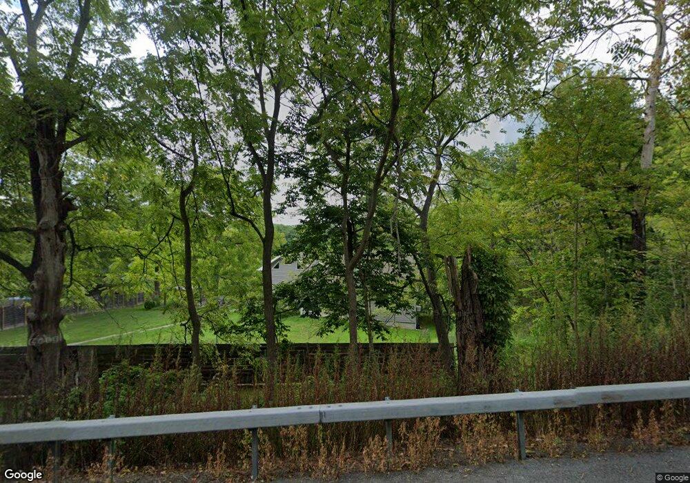
984 Us Route 9 Hudson, NY 12534
Estimated Value: $585,000 - $701,000
3
Beds
2
Baths
1,800
Sq Ft
$356/Sq Ft
Est. Value
About This Home
This home is located at 984 Us Route 9, Hudson, NY 12534 and is currently estimated at $641,695, approximately $356 per square foot. 984 Us Route 9 is a home located in Columbia County with nearby schools including Ichabod Crane Primary School, Ichabod Crane Middle School, and Ichabod Crane High School.
Ownership History
Date
Name
Owned For
Owner Type
Purchase Details
Closed on
Jul 19, 2023
Sold by
Iason Lawrence and Iason Emily
Bought by
Woodstreet Prop Llc
Current Estimated Value
Purchase Details
Closed on
Jan 19, 2015
Sold by
Stark Paul
Bought by
Stark Paul
Purchase Details
Closed on
Apr 11, 2001
Sold by
Shook Gerald
Bought by
Stark Paul J
Purchase Details
Closed on
Mar 11, 1997
Create a Home Valuation Report for This Property
The Home Valuation Report is an in-depth analysis detailing your home's value as well as a comparison with similar homes in the area
Home Values in the Area
Average Home Value in this Area
Purchase History
| Date | Buyer | Sale Price | Title Company |
|---|---|---|---|
| Woodstreet Prop Llc | -- | None Available | |
| Woodstreet Prop Llc | -- | None Available | |
| Stark Paul | -- | Heidi Cochrane | |
| Stark Paul | -- | Heidi Cochrane | |
| Stark Paul J | $75,000 | Raymond Severing | |
| Stark Paul J | $75,000 | Raymond Severing | |
| -- | -- | -- | |
| -- | -- | -- |
Source: Public Records
Tax History Compared to Growth
Tax History
| Year | Tax Paid | Tax Assessment Tax Assessment Total Assessment is a certain percentage of the fair market value that is determined by local assessors to be the total taxable value of land and additions on the property. | Land | Improvement |
|---|---|---|---|---|
| 2024 | $10,131 | $577,000 | $32,000 | $545,000 |
| 2023 | $8,387 | $239,004 | $25,604 | $213,400 |
| 2022 | $8,285 | $239,004 | $25,604 | $213,400 |
| 2021 | $7,859 | $239,004 | $25,604 | $213,400 |
| 2020 | $8,477 | $199,204 | $25,604 | $173,600 |
| 2019 | $3,712 | $113,864 | $25,604 | $88,260 |
| 2018 | $3,712 | $113,864 | $25,604 | $88,260 |
| 2017 | $3,805 | $113,864 | $25,604 | $88,260 |
| 2016 | $3,628 | $113,864 | $25,604 | $88,260 |
| 2015 | -- | $113,864 | $25,604 | $88,260 |
| 2014 | -- | $113,864 | $25,604 | $88,260 |
Source: Public Records
Map
Nearby Homes
- 390 County Route 22
- 1154 U S 9 Unit 23
- 1154 U S 9 Unit 17
- 1154 U S 9 Unit 33
- 1154 U S 9 Unit 31
- 9667 U S 9
- 113 Royal Rd
- 9459 U S 9 Unit 79 Dennis Street
- 18 Coronation Dr
- 6881 Rod and Gun Rd
- 6727 U S 9
- 161 Route 9j
- 6616 US Route 9
- 2859 Atlantic Ave
- 6583 W Atlantic Ave
- 2884 Atlantic Ave
- 469 Fairview Ave
- 6650 Hill St
- 2236 New York 385
- 2970 Salisbury Place