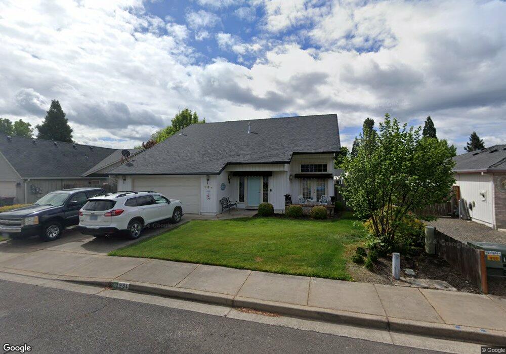
984 Westrop Dr Central Point, OR 97502
Estimated Value: $454,000 - $516,000
4
Beds
3
Baths
2,030
Sq Ft
$242/Sq Ft
Est. Value
About This Home
This home is located at 984 Westrop Dr, Central Point, OR 97502 and is currently estimated at $491,897, approximately $242 per square foot. 984 Westrop Dr is a home located in Jackson County with nearby schools including Howard Elementary School, McLoughlin Middle School, and North Medford High School.
Ownership History
Date
Name
Owned For
Owner Type
Purchase Details
Closed on
Oct 18, 2001
Sold by
Olsen Viggo E and Olsen Delores C
Bought by
Jepsen Raymond L and Jepsen Gloria A
Current Estimated Value
Home Financials for this Owner
Home Financials are based on the most recent Mortgage that was taken out on this home.
Original Mortgage
$124,900
Outstanding Balance
$47,188
Interest Rate
6.87%
Estimated Equity
$444,709
Purchase Details
Closed on
Mar 12, 1998
Sold by
Magel Jack J and Magel Chris
Bought by
Olsen Viggo E and Delores C Delores C
Create a Home Valuation Report for This Property
The Home Valuation Report is an in-depth analysis detailing your home's value as well as a comparison with similar homes in the area
Purchase History
| Date | Buyer | Sale Price | Title Company |
|---|---|---|---|
| Jepsen Raymond L | $174,900 | Jackson County Title | |
| Olsen Viggo E | $150,000 | Jackson County Title |
Source: Public Records
Mortgage History
| Date | Status | Borrower | Loan Amount |
|---|---|---|---|
| Open | Jepsen Raymond L | $124,900 |
Source: Public Records
Tax History
| Year | Tax Paid | Tax Assessment Tax Assessment Total Assessment is a certain percentage of the fair market value that is determined by local assessors to be the total taxable value of land and additions on the property. | Land | Improvement |
|---|---|---|---|---|
| 2026 | $4,746 | $285,770 | -- | -- |
| 2025 | $4,642 | $277,450 | $87,930 | $189,520 |
| 2024 | $4,642 | $269,370 | $85,370 | $184,000 |
| 2023 | $4,500 | $261,530 | $82,890 | $178,640 |
| 2022 | $4,388 | $261,530 | $82,890 | $178,640 |
| 2021 | $4,273 | $253,920 | $80,470 | $173,450 |
| 2020 | $4,165 | $246,530 | $78,130 | $168,400 |
| 2019 | $4,063 | $232,380 | $73,650 | $158,730 |
| 2018 | $3,957 | $225,620 | $71,510 | $154,110 |
| 2017 | $3,879 | $225,620 | $71,510 | $154,110 |
| 2016 | $3,795 | $212,670 | $67,400 | $145,270 |
| 2015 | $3,648 | $212,670 | $67,400 | $145,270 |
| 2014 | $3,581 | $200,470 | $63,530 | $136,940 |
Source: Public Records
Map
Nearby Homes
- 959 Westrop Dr
- 1258 Joshua Ct
- 1379 Circle Wood Dr
- 1204 Heather Ln
- 659 Herman Ave
- 105 Queens Gate Ct
- 3358 Bursell Rd
- 2825 Howard Ave
- 1025 Fairfield Ave
- 3364 Bursell Rd
- 2817 Howard Ave
- 14 Scholarship Way
- 18 Scholarship Way
- 2727 Connell Ave
- 171 Mellecker Way
- 199 Mellecker Way
- 918 Brandi Way
- 1283 Far West Ave Unit 3
- 2717 Elliott Ave
- 3600 N Pacific Hwy
- 1010 Westrop Dr
- 978 Westrop Dr
- 1304 Benjamin Ct
- 972 Westrop Dr
- 985 Westrop Dr
- 1257 Looking Glass Way
- 979 Westrop Dr
- 1344 Benjamin Ct
- 1018 Westrop Dr
- 964 Westrop Dr
- 1364 Benjamin Ct
- 1253 Looking Glass Way
- 556 Beall Ln
- 1303 Benjamin Ct
- 1294 Joshua Ct
- 566 Beall Ln
- 1022 Westrop Dr
- 1323 Benjamin Ct
- 958 Westrop Dr
- 1299 Joshua Ct
Your Personal Tour Guide
Ask me questions while you tour the home.