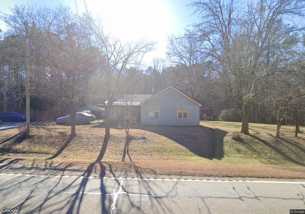
9849 Buchanan Hwy Dallas, GA 30157
Estimated Value: $234,940 - $330,000
--
Bed
1
Bath
1,450
Sq Ft
$198/Sq Ft
Est. Value
About This Home
This home is located at 9849 Buchanan Hwy, Dallas, GA 30157 and is currently estimated at $287,647, approximately $198 per square foot. 9849 Buchanan Hwy is a home located in Paulding County with nearby schools including Union Elementary School, Carl Scoggins Sr. Middle School, and South Paulding High School.
Ownership History
Date
Name
Owned For
Owner Type
Purchase Details
Closed on
Jun 4, 2025
Sold by
Jackson Merecia Cole Truste
Bought by
Jones James William
Current Estimated Value
Purchase Details
Closed on
Jun 11, 2024
Sold by
Jones Rhanelda S
Bought by
Rhanelda S Jones Revocable Trust and Jones Rhanelda S
Purchase Details
Closed on
Dec 15, 2011
Sold by
Jones Rose Lee
Create a Home Valuation Report for This Property
The Home Valuation Report is an in-depth analysis detailing your home's value as well as a comparison with similar homes in the area
Home Values in the Area
Average Home Value in this Area
Purchase History
| Date | Buyer | Sale Price | Title Company |
|---|---|---|---|
| Jones James William | -- | -- | |
| Rhanelda S Jones Revocable Trust | -- | -- | |
| -- | -- | -- |
Source: Public Records
Tax History Compared to Growth
Tax History
| Year | Tax Paid | Tax Assessment Tax Assessment Total Assessment is a certain percentage of the fair market value that is determined by local assessors to be the total taxable value of land and additions on the property. | Land | Improvement |
|---|---|---|---|---|
| 2024 | $2,070 | $83,232 | $36,960 | $46,272 |
| 2023 | $2,083 | $79,904 | $35,160 | $44,744 |
| 2022 | $1,924 | $73,804 | $35,840 | $37,964 |
| 2021 | $1,645 | $56,604 | $26,040 | $30,564 |
| 2020 | $1,522 | $51,260 | $22,320 | $28,940 |
| 2019 | $1,363 | $45,244 | $19,360 | $25,884 |
| 2018 | $1,151 | $38,216 | $19,040 | $19,176 |
| 2017 | $1,109 | $36,296 | $19,040 | $17,256 |
| 2016 | $1,027 | $33,976 | $20,480 | $13,496 |
| 2015 | $1,003 | $32,576 | $20,480 | $12,096 |
| 2014 | $883 | $27,976 | $17,560 | $10,416 |
| 2013 | -- | $23,960 | $17,560 | $6,400 |
Source: Public Records
Map
Nearby Homes
- 0 Rustin Dr Unit 10617842
- 0 Rustin Dr Unit 7657021
- 128 Tanner Dr
- 177 Rustin Dr
- 453 Mulberry Rock Rd
- 391 Mulberry Rock Rd
- 34 Harmony Ridge Dr
- 370 Buchanan Circle Tract 1
- 370 Buchanan Cir Unit TRACT 1
- 8713 Buchanan Hwy
- 728 Harmony Rd
- 723 Mulberry Rock Rd
- 703 Mulberry Rock Rd
- 281 Harmony Woods Dr
- 877 Georgia 101
- 8277 Buchanan Hwy
- 59 Mullberry Path
- 270 Harmony Woods Dr
- 292 Harmony Woods Dr
- 216 Lake Tanisha Dr