9849 Firestone Cir Lone Tree, CO 80124
Estimated Value: $693,000 - $775,000
4
Beds
4
Baths
3,596
Sq Ft
$201/Sq Ft
Est. Value
About This Home
This home is located at 9849 Firestone Cir, Lone Tree, CO 80124 and is currently estimated at $722,355, approximately $200 per square foot. 9849 Firestone Cir is a home located in Douglas County with nearby schools including Acres Green Elementary School, Cresthill Middle School, and Highlands Ranch High School.
Ownership History
Date
Name
Owned For
Owner Type
Purchase Details
Closed on
Nov 15, 2000
Sold by
Masters Homes Inc
Bought by
Odette Heidi
Current Estimated Value
Home Financials for this Owner
Home Financials are based on the most recent Mortgage that was taken out on this home.
Original Mortgage
$105,000
Outstanding Balance
$38,903
Interest Rate
8.53%
Estimated Equity
$683,452
Purchase Details
Closed on
May 29, 1992
Sold by
Federal Deposit Ins Corp Summit S & L As
Bought by
Summit Inv Inc
Create a Home Valuation Report for This Property
The Home Valuation Report is an in-depth analysis detailing your home's value as well as a comparison with similar homes in the area
Home Values in the Area
Average Home Value in this Area
Purchase History
| Date | Buyer | Sale Price | Title Company |
|---|---|---|---|
| Odette Heidi | $315,000 | -- | |
| Masters Homes Inc | -- | -- | |
| Summit Inv Inc | $1,805,000 | -- |
Source: Public Records
Mortgage History
| Date | Status | Borrower | Loan Amount |
|---|---|---|---|
| Open | Odette Heidi | $105,000 |
Source: Public Records
Tax History
| Year | Tax Paid | Tax Assessment Tax Assessment Total Assessment is a certain percentage of the fair market value that is determined by local assessors to be the total taxable value of land and additions on the property. | Land | Improvement |
|---|---|---|---|---|
| 2025 | $4,075 | $46,340 | $7,860 | $38,480 |
| 2024 | $4,075 | $47,190 | $6,260 | $40,930 |
| 2023 | $4,116 | $47,190 | $6,260 | $40,930 |
| 2022 | $3,531 | $38,830 | $1,670 | $37,160 |
| 2021 | $3,672 | $38,830 | $1,670 | $37,160 |
| 2020 | $3,654 | $39,600 | $1,720 | $37,880 |
| 2019 | $3,666 | $39,600 | $1,720 | $37,880 |
| 2018 | $2,954 | $34,130 | $1,730 | $32,400 |
| 2017 | $3,002 | $34,130 | $1,730 | $32,400 |
| 2016 | $2,986 | $33,270 | $1,910 | $31,360 |
| 2015 | $3,053 | $33,270 | $1,910 | $31,360 |
| 2014 | $3,023 | $30,890 | $1,910 | $28,980 |
Source: Public Records
Map
Nearby Homes
- 9873 Greensview Cir
- 9835 Firestone Cir
- 9853 Greensview Cir
- 8561 Colonial Dr
- 9838 Cypress Point Cir
- 8356 Green Island Cir
- 10091 Astoria Ct
- 8555 Green Island Cir
- 7755 Barkway Ct
- 10064 Bluffmont Ct
- 10098 Bluffmont Ln
- 9631 Kemper Dr
- 10205 Bluffmont Dr
- 9198 Ridgegate Pkwy
- 8666 Ainsdale Ct Unit 12B
- 9320 Miles Dr
- 9943 Cottoncreek Dr
- 10197 Belvedere Ln
- 7459 La Quinta Place
- 10051 Belvedere Cir
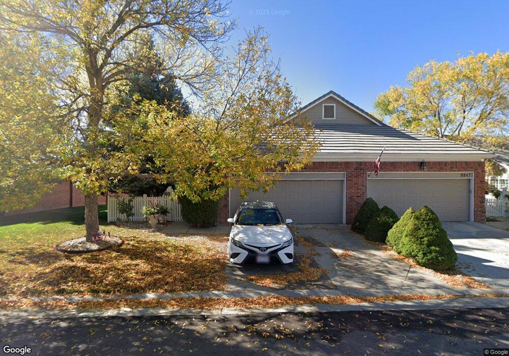
- 9847 Firestone Cir
- 9845 Firestone Cir
- 9843 Firestone Cir
- 9841 Firestone Cir
- 9866 Firestone Cir
- 9839 Firestone Cir
- 9868 Firestone Cir
- 9863 Greensview Cir
- 9861 Greensview Cir
- 9865 Greensview Cir
- 9837 Firestone Cir
- 9871 Greensview Cir
- 9870 Firestone Cir
- 9865 Firestone Cir
- 9867 Firestone Cir
- 9877 Greensview Cir
- 9872 Firestone Cir
- 9869 Firestone Cir
- 9863 Firestone Cir
- 9861 Firestone Cir
Your Personal Tour Guide
Ask me questions while you tour the home.