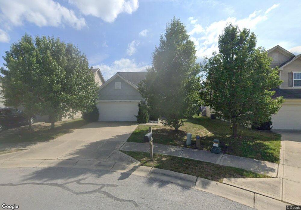
985 Denton Ct Westfield, IN 46074
Estimated Value: $337,746 - $354,000
3
Beds
3
Baths
1,845
Sq Ft
$189/Sq Ft
Est. Value
About This Home
This home is located at 985 Denton Ct, Westfield, IN 46074 and is currently estimated at $348,437, approximately $188 per square foot. 985 Denton Ct is a home with nearby schools including Maple Glen Elementary, Westfield Intermediate School, and Westfield Middle School.
Ownership History
Date
Name
Owned For
Owner Type
Purchase Details
Closed on
Nov 6, 2013
Sold by
Arbor Homes Llc
Bought by
Mixon Rachel
Current Estimated Value
Home Financials for this Owner
Home Financials are based on the most recent Mortgage that was taken out on this home.
Original Mortgage
$156,689
Outstanding Balance
$114,737
Interest Rate
4.24%
Mortgage Type
New Conventional
Estimated Equity
$233,700
Purchase Details
Closed on
Aug 1, 2013
Sold by
Maple Knoll Developer Llc
Bought by
Arbor Homes Llc
Home Financials for this Owner
Home Financials are based on the most recent Mortgage that was taken out on this home.
Original Mortgage
$18,000,000
Interest Rate
4.29%
Mortgage Type
Construction
Create a Home Valuation Report for This Property
The Home Valuation Report is an in-depth analysis detailing your home's value as well as a comparison with similar homes in the area
Home Values in the Area
Average Home Value in this Area
Purchase History
| Date | Buyer | Sale Price | Title Company |
|---|---|---|---|
| Mixon Rachel | -- | None Available | |
| Arbor Homes Llc | -- | None Available |
Source: Public Records
Mortgage History
| Date | Status | Borrower | Loan Amount |
|---|---|---|---|
| Open | Mixon Rachel | $156,689 | |
| Previous Owner | Arbor Homes Llc | $18,000,000 |
Source: Public Records
Tax History
| Year | Tax Paid | Tax Assessment Tax Assessment Total Assessment is a certain percentage of the fair market value that is determined by local assessors to be the total taxable value of land and additions on the property. | Land | Improvement |
|---|---|---|---|---|
| 2025 | $3,361 | $303,300 | $75,500 | $227,800 |
| 2024 | $3,249 | $293,700 | $52,500 | $241,200 |
| 2023 | $3,314 | $287,800 | $52,500 | $235,300 |
| 2022 | $2,983 | $254,400 | $52,500 | $201,900 |
| 2021 | $2,623 | $218,200 | $52,500 | $165,700 |
| 2020 | $2,502 | $206,500 | $52,500 | $154,000 |
| 2019 | $2,420 | $199,900 | $52,500 | $147,400 |
| 2018 | $2,214 | $183,200 | $37,000 | $146,200 |
| 2017 | $1,977 | $174,900 | $37,000 | $137,900 |
| 2016 | $1,867 | $165,200 | $37,000 | $128,200 |
| 2014 | $1,631 | $148,300 | $37,000 | $111,300 |
| 2013 | $1,631 | $600 | $600 | $0 |
Source: Public Records
Map
Nearby Homes
- 1014 Swinton Way
- 17363 Haxby Ln
- 823 W State Road 32
- 578 Farnham Dr
- 17342 Ditch Rd
- 17338 Ditch Rd
- 17334 Ditch Rd
- 1451 Crosstie Cir
- 17331 Newton Main St
- 17448 Carrier Dr
- 17452 Carrier Dr
- 16974 Ackerson Blvd
- 17346 Newton Main St
- 17312 Newton Main St
- 1294 Petit Verdot Dr
- 17300 Newton Main St
- 17317 Wilkes Way
- 1471 Whistle Way
- 1481 Whistle Way
- 1413 Crosstie Cir
Your Personal Tour Guide
Ask me questions while you tour the home.