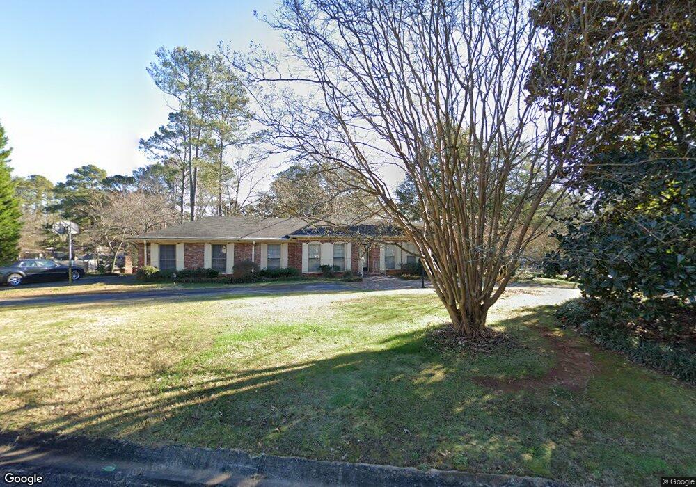
985 Dunstan Ln Unit 2 Stone Mountain, GA 30083
Estimated Value: $316,971 - $373,000
3
Beds
3
Baths
2,607
Sq Ft
$131/Sq Ft
Est. Value
About This Home
This home is located at 985 Dunstan Ln Unit 2, Stone Mountain, GA 30083 and is currently estimated at $341,993, approximately $131 per square foot. 985 Dunstan Ln Unit 2 is a home located in DeKalb County with nearby schools including Jolly Elementary School, Freedom Middle School, and Clarkston High School.
Ownership History
Date
Name
Owned For
Owner Type
Purchase Details
Closed on
Nov 18, 2005
Sold by
Devore John T and Devore Fayron S
Bought by
Benton Chester and Petty-Benton Donelda
Current Estimated Value
Home Financials for this Owner
Home Financials are based on the most recent Mortgage that was taken out on this home.
Original Mortgage
$89,900
Outstanding Balance
$1,302
Interest Rate
6.23%
Mortgage Type
New Conventional
Estimated Equity
$340,691
Create a Home Valuation Report for This Property
The Home Valuation Report is an in-depth analysis detailing your home's value as well as a comparison with similar homes in the area
Home Values in the Area
Average Home Value in this Area
Purchase History
| Date | Buyer | Sale Price | Title Company |
|---|---|---|---|
| Benton Chester | $189,900 | -- |
Source: Public Records
Mortgage History
| Date | Status | Borrower | Loan Amount |
|---|---|---|---|
| Open | Benton Chester | $89,900 |
Source: Public Records
Tax History Compared to Growth
Tax History
| Year | Tax Paid | Tax Assessment Tax Assessment Total Assessment is a certain percentage of the fair market value that is determined by local assessors to be the total taxable value of land and additions on the property. | Land | Improvement |
|---|---|---|---|---|
| 2025 | $960 | $132,040 | $28,000 | $104,040 |
| 2024 | $1,033 | $124,800 | $28,000 | $96,800 |
| 2023 | $1,033 | $135,760 | $28,000 | $107,760 |
| 2022 | $951 | $112,920 | $20,000 | $92,920 |
| 2021 | $951 | $70,040 | $20,000 | $50,040 |
| 2020 | $952 | $73,760 | $8,280 | $65,480 |
| 2019 | $930 | $76,440 | $8,280 | $68,160 |
| 2018 | $936 | $72,680 | $8,280 | $64,400 |
| 2017 | $957 | $63,040 | $8,280 | $54,760 |
| 2016 | $932 | $65,400 | $8,280 | $57,120 |
| 2014 | $668 | $44,880 | $8,280 | $36,600 |
Source: Public Records
Map
Nearby Homes
- 4247 Bingham Ct
- 1042 Cedar Forest Ct
- 1092 Alpco Ct
- 1075 Forest Heights Rd
- 1111 Gunnison Ct Unit 4
- 868 Maxey Hill Ct
- 4424 Central Dr
- 4027 Stoneview Cir
- 4467 Boatmans Cove
- 4468 Anderson Rd
- 4549 Erskine Rd
- 798 Windchase Ln
- 4362 Timberlake Unit 4362
- 4358 Timberlake
- 4267 Parkview Ct
- 4245 Parkview Ct Unit H
- 4351 Timberlake
- 4263 Parkview Ct
- 4236 Dunstan Ct
- 4229 Cavan Dr
- 4237 Cavan Dr
- 990 Dunstan Ln
- 4229 Dunstan Ct Unit 2
- 4244 Dunstan Ct
- 982 Dunstan Ln Unit 2
- 4237 Dunstan Ct
- 998 Dunstan Ln
- 4245 Cavan Dr Unit 2
- 974 Dunstan Ln
- 4245 Dunstan Ct Unit 2
- 4252 Dunstan Ct
- 965 Dunstan Ln
- 964 Dunstan Ln
- 4253 Cavan Dr Unit 2
- 4228 Cavan Dr
- 995 Rays Rd
- 4220 Cavan Dr Unit 2
- 4236 Cavan Dr Unit 2