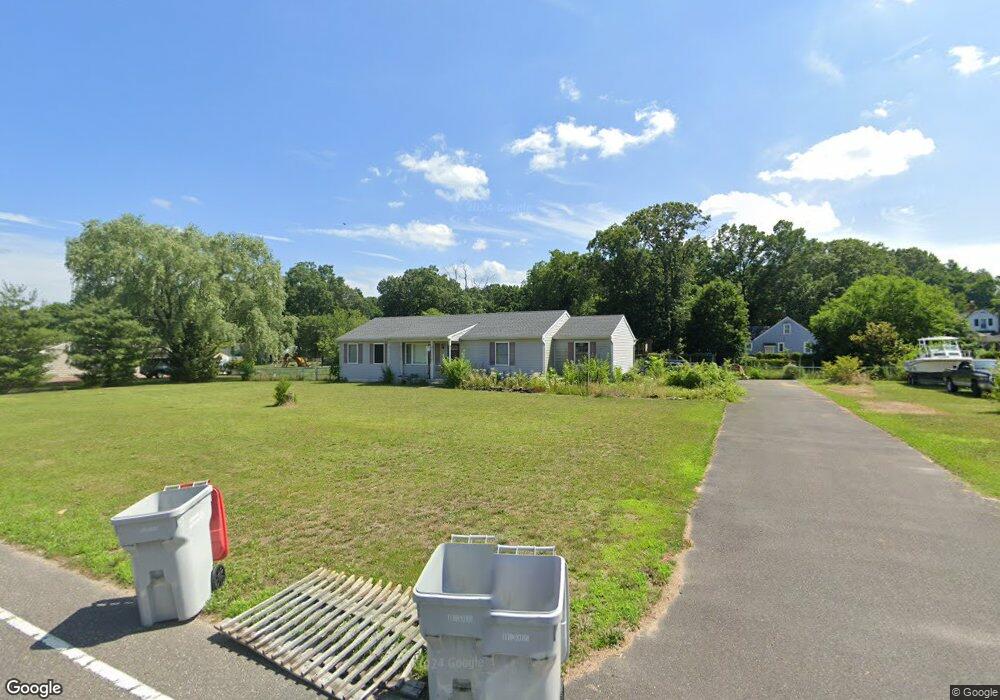
985 E Grant Ave Vineland, NJ 08361
Estimated Value: $312,199 - $359,000
Studio
--
Bath
1,352
Sq Ft
$247/Sq Ft
Est. Value
About This Home
This home is located at 985 E Grant Ave, Vineland, NJ 08361 and is currently estimated at $334,300, approximately $247 per square foot. 985 E Grant Ave is a home located in Cumberland County with nearby schools including Dr. William Mennies School, Anthony Rossi Elementary School, and Vineland Senior High School.
Ownership History
Date
Name
Owned For
Owner Type
Purchase Details
Closed on
Jul 17, 2008
Sold by
Kane Kevin K and Kane Kathleen A
Bought by
Kane Kevin K and Kane Kathleen A
Current Estimated Value
Purchase Details
Closed on
Dec 13, 2002
Sold by
Zane Builders Llc
Bought by
Kane Kevin K
Home Financials for this Owner
Home Financials are based on the most recent Mortgage that was taken out on this home.
Original Mortgage
$100,000
Outstanding Balance
$41,924
Interest Rate
6.16%
Estimated Equity
$292,376
Create a Home Valuation Report for This Property
The Home Valuation Report is an in-depth analysis detailing your home's value as well as a comparison with similar homes in the area
Home Values in the Area
Average Home Value in this Area
Purchase History
| Date | Buyer | Sale Price | Title Company |
|---|---|---|---|
| Kane Kevin K | -- | -- | |
| Kane Kevin K | $130,000 | -- |
Source: Public Records
Mortgage History
| Date | Status | Borrower | Loan Amount |
|---|---|---|---|
| Open | Kane Kevin K | $100,000 |
Source: Public Records
Tax History
| Year | Tax Paid | Tax Assessment Tax Assessment Total Assessment is a certain percentage of the fair market value that is determined by local assessors to be the total taxable value of land and additions on the property. | Land | Improvement |
|---|---|---|---|---|
| 2025 | $5,986 | $188,000 | $44,400 | $143,600 |
| 2024 | $5,946 | $188,000 | $44,400 | $143,600 |
| 2023 | $5,946 | $188,000 | $44,400 | $143,600 |
| 2022 | $5,770 | $188,000 | $44,400 | $143,600 |
| 2021 | $5,664 | $188,000 | $44,400 | $143,600 |
| 2020 | $5,503 | $188,000 | $44,400 | $143,600 |
| 2019 | $5,428 | $188,000 | $44,400 | $143,600 |
| 2018 | $5,285 | $188,000 | $44,400 | $143,600 |
| 2017 | $5,020 | $188,000 | $44,400 | $143,600 |
| 2016 | $4,843 | $188,000 | $44,400 | $143,600 |
| 2015 | $4,664 | $188,000 | $44,400 | $143,600 |
| 2014 | $4,410 | $188,000 | $44,400 | $143,600 |
Source: Public Records
Map
Nearby Homes
- 2399 S Main Rd
- 2470 S Main Rd
- 1170 Rogers Ave
- 1243 Garry Ave
- 2653 S Main Rd
- 2652 S Main Rd
- 1066 E Sherman Ave
- 1244 Garry Ave
- 1390 E Sherman Ave
- 1466 E Sherman Ave
- 2903 S Lincoln Ave
- 2800 Perna Ln
- 714 E Butler Ave
- 1081 E Butler Ave
- 419 E Elmer Rd
- 462 E Elmer Rd
- 312 Cindy Dr
- 780 E Elmer Rd
- 3226 S Main Rd
- 691 Fava Dr
- 984 Alexander Dr
- 966 Alexander Dr
- 951 E Grant Ave
- 1019 E Grant Ave
- 950 Alexander Dr
- 1000 Alexander Dr
- 994 E Grant Ave
- 974 E Grant Ave
- 934 Alexander Dr
- 1018 Alexander Dr
- 983 Alexander Dr
- 965 Alexander Dr
- 958 E Grant Ave
- 999 Alexander Dr
- 949 Alexander Dr
- 942 E Grant Ave
- 931 E Grant Ave
- 1034 Alexander Dr
- 931 Alexander Dr
- 1024 E Grant Ave
Your Personal Tour Guide
Ask me questions while you tour the home.