Estimated Value: $990,000 - $1,145,501
8
Beds
7
Baths
7,317
Sq Ft
$143/Sq Ft
Est. Value
About This Home
This home is located at 985 Kersey Way, Byron, GA 31008 and is currently estimated at $1,048,500, approximately $143 per square foot. 985 Kersey Way is a home located in Peach County with nearby schools including Kay Road Elementary School, Fort Valley Middle School, and Peach County High School.
Ownership History
Date
Name
Owned For
Owner Type
Purchase Details
Closed on
Dec 30, 2019
Sold by
Insley Mark
Bought by
Moody Waldo and Moody Sherrie M
Current Estimated Value
Home Financials for this Owner
Home Financials are based on the most recent Mortgage that was taken out on this home.
Original Mortgage
$500,000
Interest Rate
3.6%
Mortgage Type
New Conventional
Purchase Details
Closed on
Dec 12, 2011
Sold by
Ervin Insley Lee S and Ervin Lee S
Bought by
Insley Mark
Purchase Details
Closed on
Jan 8, 2008
Sold by
Lee & Company Inc
Bought by
Ervin Incley Lee S
Purchase Details
Closed on
Jul 20, 2006
Sold by
Borah Frank B and Borah Gayle
Bought by
Lee & Company Inc
Create a Home Valuation Report for This Property
The Home Valuation Report is an in-depth analysis detailing your home's value as well as a comparison with similar homes in the area
Home Values in the Area
Average Home Value in this Area
Purchase History
| Date | Buyer | Sale Price | Title Company |
|---|---|---|---|
| Moody Waldo | $595,000 | -- | |
| Insley Mark | $525,000 | -- | |
| Ervin Incley Lee S | -- | -- | |
| Lee & Company Inc | -- | -- |
Source: Public Records
Mortgage History
| Date | Status | Borrower | Loan Amount |
|---|---|---|---|
| Closed | Moody Waldo | $500,000 |
Source: Public Records
Tax History Compared to Growth
Tax History
| Year | Tax Paid | Tax Assessment Tax Assessment Total Assessment is a certain percentage of the fair market value that is determined by local assessors to be the total taxable value of land and additions on the property. | Land | Improvement |
|---|---|---|---|---|
| 2024 | $14,596 | $409,000 | $47,800 | $361,200 |
| 2023 | $14,512 | $404,000 | $47,800 | $356,200 |
| 2022 | $14,525 | $359,760 | $47,800 | $311,960 |
| 2021 | $9,494 | $304,080 | $29,680 | $274,400 |
| 2020 | $7,431 | $262,880 | $29,680 | $233,200 |
| 2019 | $6,278 | $200,080 | $29,680 | $170,400 |
| 2018 | $6,310 | $200,080 | $29,680 | $170,400 |
| 2017 | $6,032 | $190,360 | $29,680 | $160,680 |
| 2016 | $6,007 | $190,360 | $29,680 | $160,680 |
| 2015 | $6,016 | $190,360 | $29,680 | $160,680 |
| 2014 | $6,026 | $190,360 | $29,680 | $160,680 |
| 2013 | -- | $190,360 | $29,680 | $160,680 |
Source: Public Records
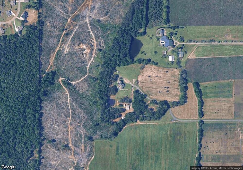
Map
Nearby Homes
- 219 Rowland Cir
- 120 Hawks Place
- 109 Early Dr
- 108 Early Dr
- 211 Serenity Ct
- 800 John E Sullivan Rd
- 199 Red Tail Cir
- 107 Red Tail Cir
- 109 Red Tail Cir
- 117 Hawks Ridge Trace
- 120 Hawks Ridge Trace
- 24C Sterling Dr
- 127 Hawks Ridge Trace
- 111 Early Dr
- 115 Early Dr
- 119 Early Dr
- 245 Sterling Dr
- 152 Hawks Ridge Trace
- 19C Crown Ct
- 104 Hitching Post Ct
- 107 Hitching Post Ct
- 110 Lamplight Dr
- 185 Hawks Ridge Trace
- 108 Lamplight Dr Unit A 5
- 102 Lamplight Dr Unit A 2
- 104 Lamplight Dr Unit A 3
- 106 Lamplight Dr
- 101 Hitching Post Ct Unit B 12
- 103 Hitching Post Ct Unit B 11
- 105 Hitching Post Ct Unit B 10
- 106 Hitching Post Ct
- 166 Hawks Ridge Trace
- 170 Hawks Ridge Trace
- 181 Hawks Ridge Trace
- 162 Hawks Ridge Trace
- 156 Hawks Ridge Trace
- 108 Hitching Post Ct Unit B 8