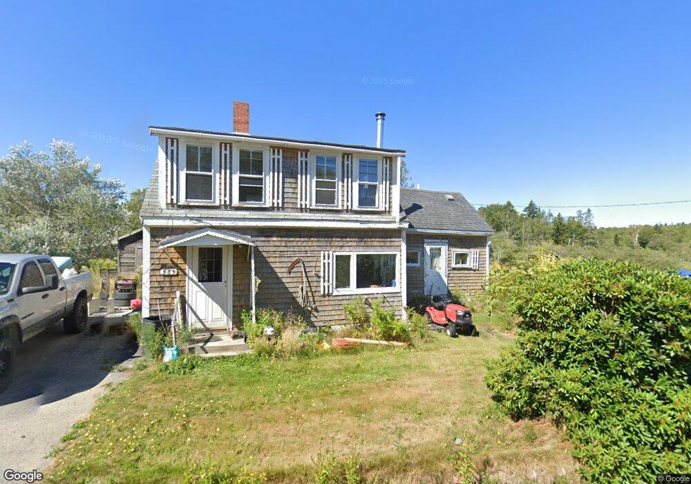
985 Port Rd MacHiasport, ME 04655
Estimated Value: $41,000 - $212,000
3
Beds
1
Bath
1,117
Sq Ft
$107/Sq Ft
Est. Value
About This Home
This home is located at 985 Port Rd, MacHiasport, ME 04655 and is currently estimated at $119,810, approximately $107 per square foot. 985 Port Rd is a home with nearby schools including Fort O'Brien School.
Ownership History
Date
Name
Owned For
Owner Type
Purchase Details
Closed on
Jul 23, 2020
Sold by
Moore Robert M
Bought by
Boynton Amanda
Current Estimated Value
Home Financials for this Owner
Home Financials are based on the most recent Mortgage that was taken out on this home.
Original Mortgage
$19,500
Outstanding Balance
$17,323
Interest Rate
3.2%
Mortgage Type
New Conventional
Estimated Equity
$102,487
Purchase Details
Closed on
May 23, 2016
Sold by
Simmons Melissa S and Waldrop Joleen
Bought by
Moore Robert M
Purchase Details
Closed on
May 30, 2006
Sold by
Lovejoy Elmer and Lovejoy Charlotte J
Bought by
Waldrop Joleen and Kluun Melissa
Create a Home Valuation Report for This Property
The Home Valuation Report is an in-depth analysis detailing your home's value as well as a comparison with similar homes in the area
Home Values in the Area
Average Home Value in this Area
Purchase History
| Date | Buyer | Sale Price | Title Company |
|---|---|---|---|
| Boynton Amanda | -- | None Available | |
| Moore Robert M | -- | -- | |
| Waldrop Joleen | -- | -- |
Source: Public Records
Mortgage History
| Date | Status | Borrower | Loan Amount |
|---|---|---|---|
| Open | Boynton Amanda | $19,500 |
Source: Public Records
Tax History Compared to Growth
Tax History
| Year | Tax Paid | Tax Assessment Tax Assessment Total Assessment is a certain percentage of the fair market value that is determined by local assessors to be the total taxable value of land and additions on the property. | Land | Improvement |
|---|---|---|---|---|
| 2024 | $860 | $66,150 | $18,970 | $47,180 |
| 2023 | $774 | $61,450 | $17,420 | $44,030 |
| 2022 | $700 | $56,910 | $16,640 | $40,270 |
| 2021 | $620 | $56,910 | $16,640 | $40,270 |
| 2020 | $711 | $56,910 | $16,640 | $40,270 |
| 2019 | $664 | $38,616 | $9,460 | $29,156 |
| 2018 | $714 | $38,616 | $9,460 | $29,156 |
| 2017 | $676 | $38,616 | $9,460 | $29,156 |
| 2016 | $676 | $38,616 | $9,460 | $29,156 |
| 2015 | $703 | $38,616 | $9,460 | $29,156 |
| 2014 | $703 | $38,616 | $9,460 | $29,156 |
| 2013 | -- | $38,616 | $9,460 | $29,156 |
Source: Public Records
Map
Nearby Homes
- 1 Puffins Ln
- MarkayEast Puffins Ln
- Lot 1 Smalls Point Rd
- Lot 2 Smalls Point Rd
- 576 Port Rd
- 1323 Port Rd
- 246 Marsh Stream Ln
- 37 Corn Hill Rd
- Lot2A-2 Holway Rd
- 2-2A-001-A Holway Point Rd
- 4-28 Old Town Rd Old County Rd Rd
- 18 Collins Cove Rd
- 0 Port Rd Unit 25695685
- 0 Port Rd Unit 1644648
- Lot 95 N Duck Cove Rd
- 85 E Side Rd
- 21-5-3 E Palmer Rd
- 12 W Palmer Rd
- 780 Cutler Rd
- 070 Bobcat Path