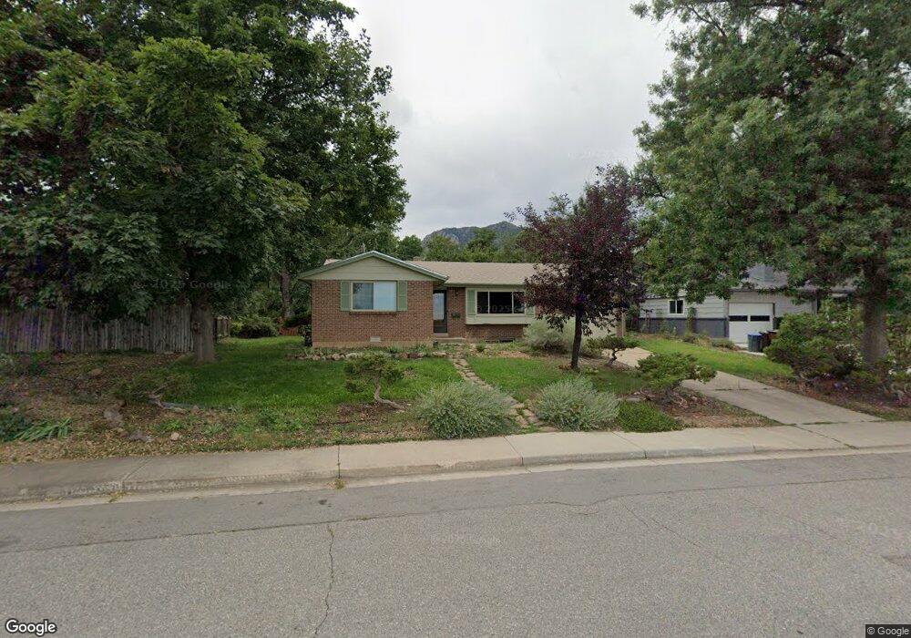
985 Yale Rd Boulder, CO 80305
Table Mesa NeighborhoodEstimated Value: $1,211,376 - $1,537,000
4
Beds
3
Baths
1,531
Sq Ft
$872/Sq Ft
Est. Value
About This Home
This home is located at 985 Yale Rd, Boulder, CO 80305 and is currently estimated at $1,334,844, approximately $871 per square foot. 985 Yale Rd is a home located in Boulder County with nearby schools including Bear Creek Elementary School, Mesa Elementary School, and Southern Hills Middle School.
Ownership History
Date
Name
Owned For
Owner Type
Purchase Details
Closed on
Dec 18, 1995
Sold by
Foote Marjorie H
Bought by
Farmer John
Current Estimated Value
Home Financials for this Owner
Home Financials are based on the most recent Mortgage that was taken out on this home.
Original Mortgage
$156,000
Outstanding Balance
$3,204
Interest Rate
7.41%
Estimated Equity
$1,331,640
Purchase Details
Closed on
Jan 21, 1987
Bought by
Farmer John
Create a Home Valuation Report for This Property
The Home Valuation Report is an in-depth analysis detailing your home's value as well as a comparison with similar homes in the area
Home Values in the Area
Average Home Value in this Area
Purchase History
We collect this data history from publicly available records. To have your information removed, we recommend requesting removal directly through your county’s website.
| Date | Buyer | Sale Price | Title Company |
|---|---|---|---|
| Farmer John | $195,000 | -- | |
| Farmer John | -- | -- |
Source: Public Records
Mortgage History
We collect this data history from publicly available records. To have your information removed, we recommend requesting removal directly through your county’s website.
| Date | Status | Borrower | Loan Amount |
|---|---|---|---|
| Open | Farmer John | $156,000 |
Source: Public Records
Tax History
| Year | Tax Paid | Tax Assessment Tax Assessment Total Assessment is a certain percentage of the fair market value that is determined by local assessors to be the total taxable value of land and additions on the property. | Land | Improvement |
|---|---|---|---|---|
| 2025 | $7,074 | $74,444 | $59,263 | $15,181 |
| 2024 | $7,074 | $74,444 | $59,263 | $15,181 |
| 2023 | $7,474 | $80,494 | $68,012 | $16,167 |
| 2022 | $6,581 | $64,711 | $50,026 | $14,685 |
| 2021 | $6,278 | $66,574 | $51,466 | $15,108 |
| 2020 | $5,553 | $58,637 | $46,904 | $11,733 |
| 2019 | $5,453 | $58,637 | $46,904 | $11,733 |
| 2018 | $5,409 | $56,038 | $33,408 | $22,630 |
| 2017 | $5,256 | $61,952 | $36,934 | $25,018 |
| 2016 | $4,715 | $48,110 | $26,905 | $21,205 |
| 2015 | $4,494 | $42,116 | $19,024 | $23,092 |
| 2014 | $4,091 | $42,116 | $19,024 | $23,092 |
Source: Public Records
Map
Nearby Homes
- 1095 Edinboro Dr
- 980 Hartford Dr
- 1220 Edinboro Dr
- 2860 Table Mesa Dr
- 835 Hartford Dr
- 2820 Colby Dr
- 3210 Emerson Ave
- 3590 Endicott Dr
- 2895 Emerson Ave
- 4260 Whitney Place
- 1380 Knox Dr
- 1160 S Lashley Ln
- 620 S 42nd St
- 2955 Stanford Ave
- 1185 Bear Mountain Dr Unit B
- 1590 Findlay Way
- 2275 Hillsdale Cir
- 725 S 45th St
- 350 Bates Ave
- 375 Bates Ave
- 1055 Edinboro Dr
- 1005 Edinboro Dr
- 1045 Miami Way
- 1035 Miami Way
- 1065 Edinboro Dr
- 1055 Miami Way
- 1030 Edinboro Dr
- 1010 Edinboro Dr
- 975 Yale Rd
- 1050 Edinboro Dr
- 1025 Miami Way
- 1075 Edinboro Dr
- 1065 Miami Way
- 965 Yale Rd
- 1070 Edinboro Dr
- 1011 Yale Rd
- 1027 Yale Cir
- 1020 Miami Way
- 1015 Miami Way
- 1033 Yale Cir
Your Personal Tour Guide
Ask me questions while you tour the home.