98542 Seagull Ln Brookings, OR 97415
Estimated Value: $960,000 - $1,037,377
3
Beds
3
Baths
1,953
Sq Ft
$511/Sq Ft
Est. Value
About This Home
This home is located at 98542 Seagull Ln, Brookings, OR 97415 and is currently estimated at $998,689, approximately $511 per square foot. 98542 Seagull Ln is a home located in Curry County with nearby schools including Kalmiopsis Elementary School, Azalea Middle School, and Brookings-Harbor High School.
Ownership History
Date
Name
Owned For
Owner Type
Purchase Details
Closed on
Nov 16, 2010
Sold by
Sigel Jeffrey B and Sigel James J
Bought by
Walker M D David Howard and Walker Susan Allison
Current Estimated Value
Home Financials for this Owner
Home Financials are based on the most recent Mortgage that was taken out on this home.
Original Mortgage
$415,000
Outstanding Balance
$272,179
Interest Rate
4.23%
Mortgage Type
New Conventional
Estimated Equity
$726,510
Create a Home Valuation Report for This Property
The Home Valuation Report is an in-depth analysis detailing your home's value as well as a comparison with similar homes in the area
Home Values in the Area
Average Home Value in this Area
Purchase History
| Date | Buyer | Sale Price | Title Company |
|---|---|---|---|
| Walker M D David Howard | $575,000 | Curry County Title Inc |
Source: Public Records
Mortgage History
| Date | Status | Borrower | Loan Amount |
|---|---|---|---|
| Open | Walker M D David Howard | $415,000 |
Source: Public Records
Tax History Compared to Growth
Tax History
| Year | Tax Paid | Tax Assessment Tax Assessment Total Assessment is a certain percentage of the fair market value that is determined by local assessors to be the total taxable value of land and additions on the property. | Land | Improvement |
|---|---|---|---|---|
| 2025 | $4,093 | $719,300 | -- | -- |
| 2024 | $3,974 | $698,350 | -- | -- |
| 2023 | $3,858 | $678,010 | $0 | $0 |
| 2022 | $3,746 | $658,270 | -- | -- |
| 2021 | $3,636 | $639,100 | $0 | $0 |
| 2020 | $3,900 | $620,490 | $0 | $0 |
| 2019 | $3,459 | $602,420 | $0 | $0 |
| 2018 | $3,771 | $584,880 | $0 | $0 |
| 2017 | $3,614 | $584,880 | $0 | $0 |
| 2016 | $3,517 | $548,230 | $0 | $0 |
| 2015 | $3,451 | $567,850 | $0 | $0 |
| 2014 | $3,451 | $535,270 | $0 | $0 |
Source: Public Records
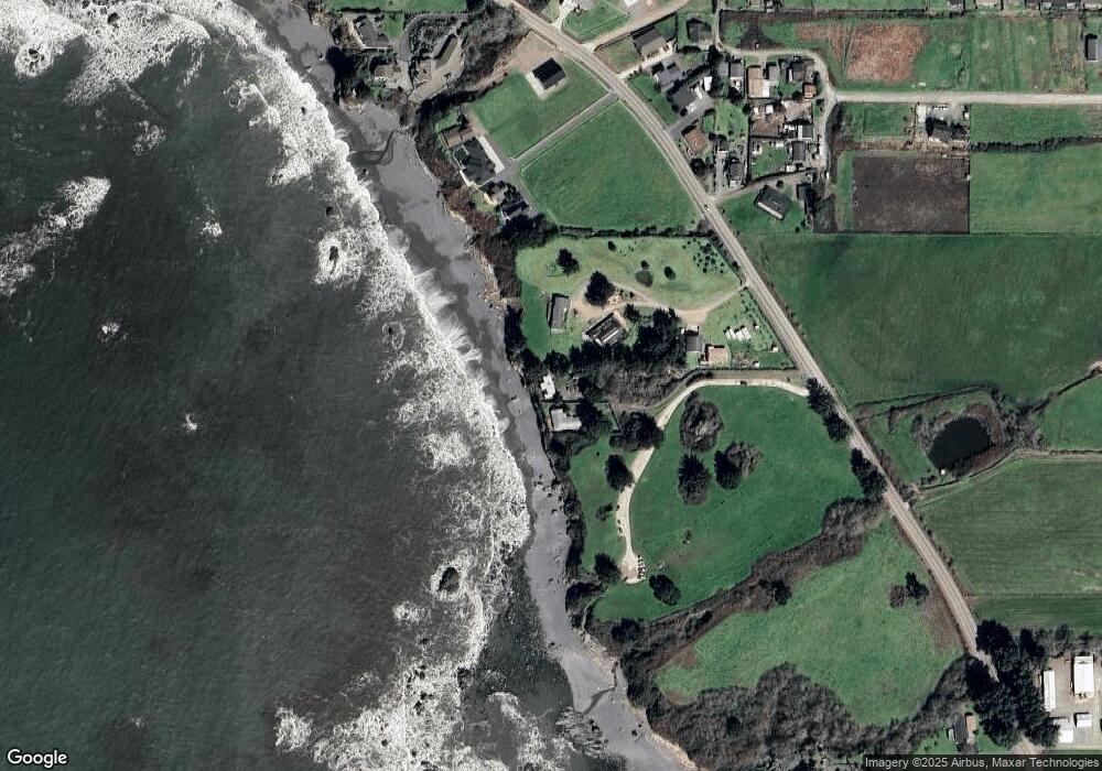
Map
Nearby Homes
- 15289 Oceanview Dr
- 0 Oceanview Dr Unit 387796081
- 98620 Camellia Dr
- 98609 Camellia Dr
- 15422 Southwind Ln
- 15609 Highway 101 S
- 15505 Oceanview Dr Unit 16
- 0 Upper Benham Ln Unit 100481686
- 0 Upper Benham Ln Unit 300 380814467
- 15780 Pelican Bay Dr
- 15765 Highway 101 S Unit 9
- 15819 U S 101
- 99106 E Freeman Ln
- 14674 Wollam Rd
- 15870 Pedrioli Dr
- 14676 Sandpiper Place
- 0 Harbor Hills Heights Unit 308 752763405
- 97950 Holly Ln
- 98126 W Benham Ln Unit 14
- 98126 W Benham Ln Unit 68
- 98544 Seagull Ln
- 98516 Max Ln
- 98514 Max Ln
- 98510 Max Ln
- 15241 Oceanview Dr
- 15261 Oceanview Dr
- 98508 Max Ln
- 0 Max Ln
- 15243 Oceanview Dr
- 15275 Oceanview Dr
- 98590 Woodriff Ln
- 98560 Woodriff Ln
- 15281 Oceanview Dr
- 15296 Oceanview Dr
- 15292 Oceanview Dr
- 98557 Woodriff Ln
- 98584 Woodriff Ln
- 15287 Oceanview Dr
- 15294 Oceanview Dr
- 98632 Woodriff Ln