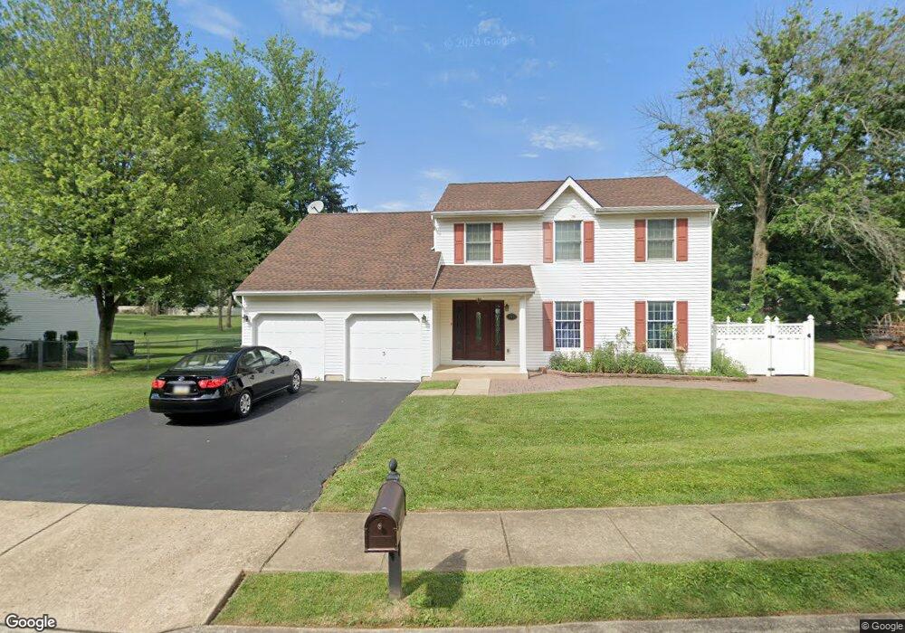
986 Highpointe Cir Langhorne, PA 19047
Estimated Value: $514,215 - $652,000
3
Beds
3
Baths
1,974
Sq Ft
$305/Sq Ft
Est. Value
About This Home
This home is located at 986 Highpointe Cir, Langhorne, PA 19047 and is currently estimated at $602,054, approximately $304 per square foot. 986 Highpointe Cir is a home located in Bucks County with nearby schools including Hoover Elementary School, Maple Point Middle School, and Neshaminy High School.
Ownership History
Date
Name
Owned For
Owner Type
Purchase Details
Closed on
Jan 17, 2018
Sold by
Patel Jignesh and Kapadia Sabana N
Bought by
Kapadia Sabana N
Current Estimated Value
Purchase Details
Closed on
Dec 30, 1997
Sold by
Donchak John and Donchak Anna Marie
Bought by
Donchak John
Create a Home Valuation Report for This Property
The Home Valuation Report is an in-depth analysis detailing your home's value as well as a comparison with similar homes in the area
Home Values in the Area
Average Home Value in this Area
Purchase History
| Date | Buyer | Sale Price | Title Company |
|---|---|---|---|
| Kapadia Sabana N | -- | None Available | |
| Donchak John | -- | -- |
Source: Public Records
Tax History Compared to Growth
Tax History
| Year | Tax Paid | Tax Assessment Tax Assessment Total Assessment is a certain percentage of the fair market value that is determined by local assessors to be the total taxable value of land and additions on the property. | Land | Improvement |
|---|---|---|---|---|
| 2025 | $6,993 | $32,120 | $5,320 | $26,800 |
| 2024 | $6,993 | $32,120 | $5,320 | $26,800 |
| 2023 | $6,882 | $32,120 | $5,320 | $26,800 |
| 2022 | $6,701 | $32,120 | $5,320 | $26,800 |
| 2021 | $6,701 | $32,120 | $5,320 | $26,800 |
| 2020 | $6,621 | $32,120 | $5,320 | $26,800 |
| 2019 | $6,473 | $32,120 | $5,320 | $26,800 |
| 2018 | $6,354 | $32,120 | $5,320 | $26,800 |
| 2017 | $6,192 | $32,120 | $5,320 | $26,800 |
| 2016 | $6,192 | $32,120 | $5,320 | $26,800 |
| 2015 | $6,381 | $32,120 | $5,320 | $26,800 |
| 2014 | $6,381 | $32,120 | $5,320 | $26,800 |
Source: Public Records
Map
Nearby Homes
- 681 Pennhill Dr
- 6504 Timothy Ct
- 3225 Ethan Allen Ct
- 547 Hulmeville Ave
- 2937 Hamilton Ct
- 790 E Parker St Unit A1
- 6313 Congress Ct
- 3351 Carroll Ct Unit S
- 731 Highland Ave
- 6351 Shewell Rd
- 927 Bellevue Ave
- 56 W Lincoln Hwy
- 3325 Pasqualone Blvd
- 2548 Nashua Rd
- 24 W Lincoln Hwy
- 2823 Avenue E
- 827 Hulmeville Rd
- 0 Prospect Ave
- 1632 Winter Ave
- 5967 Griscomb Dr
- 688 Pennhill Dr
- 978 Highpointe Cir
- 680 Pennhill Dr
- 977 Highpointe Cir
- 964 Highpointe Cir
- 997 Highpointe Cir
- 670 Pennhill Dr
- 689 Pennhill Dr
- 967 Highpointe Cir
- 660 Pennhill Dr
- 957 Highpointe Cir
- 944 Highpointe Cir
- 671 Pennhill Dr
- 506 Hillside Ave
- 692 Shaw Ave
- 661 Pennhill Dr
- 650 Pennhill Dr
- 947 Highpointe Cir
- 924 Highpointe Cir
- 670 Shaw Ave