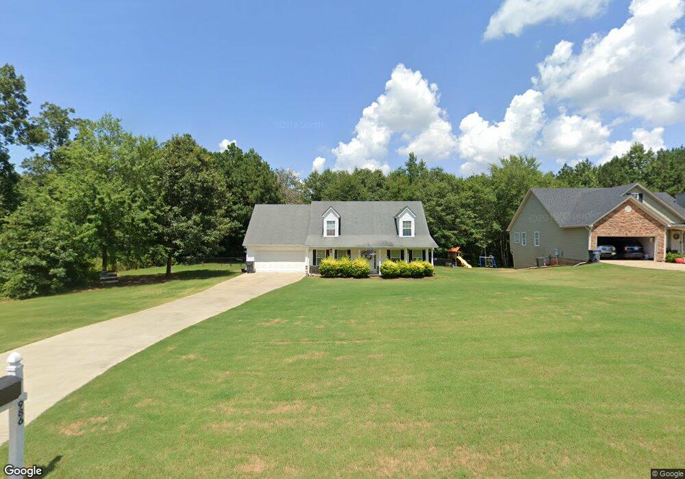
986 Stag Run Dr Mansfield, GA 30055
Jasper County NeighborhoodEstimated Value: $270,981 - $310,000
3
Beds
2
Baths
1,553
Sq Ft
$192/Sq Ft
Est. Value
About This Home
This home is located at 986 Stag Run Dr, Mansfield, GA 30055 and is currently estimated at $297,745, approximately $191 per square foot. 986 Stag Run Dr is a home located in Jasper County with nearby schools including Jasper County Primary School, Washington Park Elementary School, and Jasper County Middle School.
Ownership History
Date
Name
Owned For
Owner Type
Purchase Details
Closed on
Sep 3, 2019
Sold by
Owensby James E
Bought by
Smith Jason B
Current Estimated Value
Home Financials for this Owner
Home Financials are based on the most recent Mortgage that was taken out on this home.
Original Mortgage
$152,192
Outstanding Balance
$135,030
Interest Rate
4.25%
Mortgage Type
FHA
Estimated Equity
$162,715
Purchase Details
Closed on
Sep 20, 2007
Sold by
Ellis Homes Associaties Ll
Bought by
Owensby James E
Home Financials for this Owner
Home Financials are based on the most recent Mortgage that was taken out on this home.
Original Mortgage
$152,802
Interest Rate
6.49%
Mortgage Type
FHA
Purchase Details
Closed on
Apr 13, 2007
Sold by
Not Provided
Bought by
Owensby James E and Owensby Iris E
Purchase Details
Closed on
Jan 23, 2007
Sold by
Not Provided
Bought by
Owensby James E and Owensby Iris E
Create a Home Valuation Report for This Property
The Home Valuation Report is an in-depth analysis detailing your home's value as well as a comparison with similar homes in the area
Home Values in the Area
Average Home Value in this Area
Purchase History
| Date | Buyer | Sale Price | Title Company |
|---|---|---|---|
| Smith Jason B | $155,000 | -- | |
| Owensby James E | $155,200 | -- | |
| Owensby James E | $60,000 | -- | |
| Owensby James E | -- | -- |
Source: Public Records
Mortgage History
| Date | Status | Borrower | Loan Amount |
|---|---|---|---|
| Open | Smith Jason B | $152,192 | |
| Previous Owner | Owensby James E | $152,802 |
Source: Public Records
Tax History Compared to Growth
Tax History
| Year | Tax Paid | Tax Assessment Tax Assessment Total Assessment is a certain percentage of the fair market value that is determined by local assessors to be the total taxable value of land and additions on the property. | Land | Improvement |
|---|---|---|---|---|
| 2024 | $2,637 | $102,680 | $13,600 | $89,080 |
| 2023 | $2,340 | $91,000 | $12,000 | $79,000 |
| 2022 | $2,314 | $83,800 | $4,800 | $79,000 |
| 2021 | $1,799 | $59,520 | $3,600 | $55,920 |
| 2020 | $1,755 | $56,000 | $3,600 | $52,400 |
| 2019 | $1,971 | $52,320 | $2,000 | $50,320 |
| 2018 | $1,783 | $46,120 | $2,000 | $44,120 |
| 2017 | $1,742 | $44,040 | $2,000 | $42,040 |
| 2016 | $1,256 | $37,840 | $2,000 | $35,840 |
| 2015 | $1,153 | $33,520 | $2,000 | $31,520 |
| 2014 | $1,018 | $29,880 | $2,000 | $27,880 |
Source: Public Records
Map
Nearby Homes
- 1042 Stag Run Dr
- 122 Armstrong Dr Unit 90
- 82 Armstrong Dr Unit 86
- 72 Armstrong Dr Unit 85
- 132 Armstrong Dr Unit 91
- 92 Armstrong Dr Unit 87
- 62 Armstrong Dr Unit 84
- 52 Armstrong Dr Unit 83
- 102 Armstrong Dr Unit 88
- 112 Armstrong Dr Unit 89
- 768 Stag Run Dr
- 2.8 AC Bear Creek Point
- 138 Sourwood Dr
- 115 Sourwood Dr
- 31 Sourwood Dr
- 100 Sourwood Dr
- 867 Bear Creek Point
- 575 Doe Ln
- LOTS 48,49,50 Doe Ln
- 277 Doe Ln
- 966 Stag Run Dr
- 1004 Stag Run Dr
- 1004 Stag Run Dr Unit 67
- 946 Stag Run Dr
- 946 Stag Run Dr Unit 70
- 1322 Stag Run Dr Unit 55
- 1322 Stag Run Dr
- 1340 Stag Run Dr
- 1302 Stag Run Dr
- 926 Stag Run Dr
- 926 Stag Run Dr Unit 71
- 827 Stag Run Dr
- 845 Stag Run Dr
- 807 Stag Run Dr
- 807 Stag Run Dr Unit 33
- 1360 Stag Run Dr
- 787 Stag Run Dr
- 865 Stag Run Dr Unit 30
- 1380 Stag Run Dr
- 909 Stag Run Dr