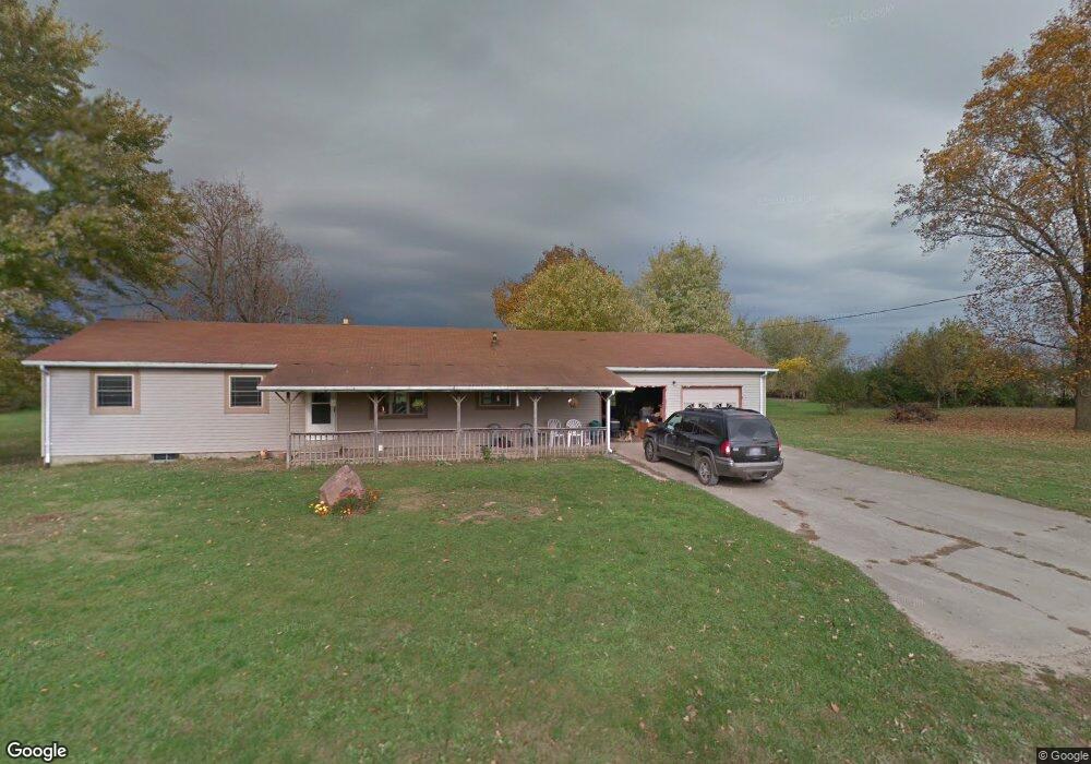
986 W Covered Bridge Rd Attica, IN 47918
Estimated Value: $184,000 - $276,000
4
Beds
2
Baths
1,744
Sq Ft
$128/Sq Ft
Est. Value
About This Home
This home is located at 986 W Covered Bridge Rd, Attica, IN 47918 and is currently estimated at $224,024, approximately $128 per square foot. 986 W Covered Bridge Rd is a home located in Fountain County with nearby schools including Attica Elementary School and Attica High School.
Ownership History
Date
Name
Owned For
Owner Type
Purchase Details
Closed on
Oct 23, 2023
Sold by
Stepp Mark
Bought by
Jones Megan Renee
Current Estimated Value
Purchase Details
Closed on
Jun 21, 2023
Sold by
Mcbride Ronald
Bought by
Stepp Mark
Purchase Details
Closed on
Apr 12, 2019
Sold by
Phillips Leon L and Phillips Betty L
Bought by
Mcbride Ronald E and Mcbride Claudine L
Purchase Details
Closed on
Feb 2, 2016
Sold by
Sanders William and Wesley Melissa
Bought by
Phillips Leon L and Phillips Betty
Create a Home Valuation Report for This Property
The Home Valuation Report is an in-depth analysis detailing your home's value as well as a comparison with similar homes in the area
Home Values in the Area
Average Home Value in this Area
Purchase History
| Date | Buyer | Sale Price | Title Company |
|---|---|---|---|
| Jones Megan Renee | $150,000 | Allied Capital Title | |
| Stepp Mark | $80,000 | Douglass & Nelson, Inc | |
| Mcbride Ronald E | -- | None Available | |
| Phillips Leon L | $55,001 | Attorney |
Source: Public Records
Mortgage History
| Date | Status | Borrower | Loan Amount |
|---|---|---|---|
| Closed | Phillips Leon L | $0 |
Source: Public Records
Tax History Compared to Growth
Tax History
| Year | Tax Paid | Tax Assessment Tax Assessment Total Assessment is a certain percentage of the fair market value that is determined by local assessors to be the total taxable value of land and additions on the property. | Land | Improvement |
|---|---|---|---|---|
| 2024 | $1,329 | $182,100 | $37,900 | $144,200 |
| 2023 | $1,181 | $170,600 | $34,900 | $135,700 |
| 2022 | $1,164 | $161,400 | $32,900 | $128,500 |
| 2021 | $1,139 | $148,500 | $32,900 | $115,600 |
| 2020 | $925 | $127,700 | $26,000 | $101,700 |
| 2019 | $2,002 | $123,100 | $26,000 | $97,100 |
| 2018 | $1,895 | $114,400 | $26,000 | $88,400 |
| 2017 | $1,814 | $113,300 | $26,000 | $87,300 |
| 2016 | $1,487 | $118,400 | $26,000 | $92,400 |
| 2014 | $855 | $124,400 | $26,000 | $98,400 |
| 2013 | $855 | $124,400 | $26,000 | $98,400 |
Source: Public Records
Map
Nearby Homes
- 4277 S 100 W
- 3384 S 175 W
- 3444 S 175 W
- 0 S Frye Hill Rd Unit 3
- 0 S Frye Hill Rd Unit 2
- 0 S Frye Hill Rd Unit 11584359
- 0 S Frye Hill Rd Unit 1
- 29 W Center St
- 1015 W State Road 28
- 201 Lincoln St
- Frye Hill S Rd
- 4530 S Frye Hill Rd
- S S Frye Hill Rd
- 0 E Monroe St
- tbd Hickory St
- 131 E 4th St
- 431 E 4th St
- 107 E Sycamore St
- 527 E 125 S
- 301 E Sycamore St