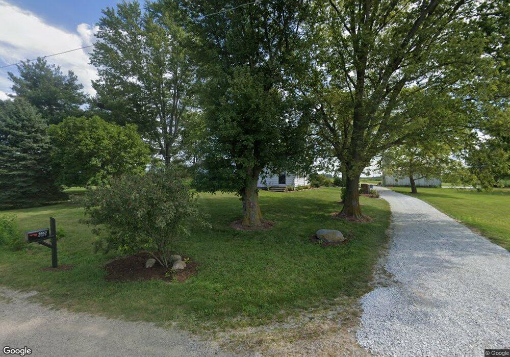
9863 W 125 N Anderson, IN 46011
Estimated Value: $144,000 - $280,000
4
Beds
1
Bath
2,151
Sq Ft
$90/Sq Ft
Est. Value
About This Home
This home is located at 9863 W 125 N, Anderson, IN 46011 and is currently estimated at $194,534, approximately $90 per square foot. 9863 W 125 N is a home located in Madison County with nearby schools including Lapel Elementary School, Lapel Middle School, and Lapel Senior High School.
Ownership History
Date
Name
Owned For
Owner Type
Purchase Details
Closed on
Feb 25, 2025
Sold by
Mcdermit Harold B and Mcdermit Patricia J
Bought by
Alc Property Management Llc
Current Estimated Value
Home Financials for this Owner
Home Financials are based on the most recent Mortgage that was taken out on this home.
Original Mortgage
$200,000
Outstanding Balance
$173,837
Interest Rate
6.27%
Mortgage Type
Credit Line Revolving
Estimated Equity
$20,697
Create a Home Valuation Report for This Property
The Home Valuation Report is an in-depth analysis detailing your home's value as well as a comparison with similar homes in the area
Home Values in the Area
Average Home Value in this Area
Purchase History
| Date | Buyer | Sale Price | Title Company |
|---|---|---|---|
| Alc Property Management Llc | -- | None Listed On Document |
Source: Public Records
Mortgage History
| Date | Status | Borrower | Loan Amount |
|---|---|---|---|
| Open | Alc Property Management Llc | $200,000 |
Source: Public Records
Tax History Compared to Growth
Tax History
| Year | Tax Paid | Tax Assessment Tax Assessment Total Assessment is a certain percentage of the fair market value that is determined by local assessors to be the total taxable value of land and additions on the property. | Land | Improvement |
|---|---|---|---|---|
| 2025 | $3,339 | $175,900 | $31,700 | $144,200 |
| 2024 | $3,339 | $175,900 | $31,700 | $144,200 |
| 2023 | $3,024 | $150,900 | $20,000 | $130,900 |
| 2022 | $3,027 | $149,900 | $19,000 | $130,900 |
| 2021 | $2,773 | $137,900 | $19,000 | $118,900 |
| 2020 | $2,684 | $131,700 | $18,100 | $113,600 |
| 2019 | $2,564 | $126,500 | $18,100 | $108,400 |
| 2018 | $1,231 | $119,400 | $18,100 | $101,300 |
| 2017 | $1,161 | $120,700 | $27,300 | $93,400 |
| 2016 | $1,003 | $110,800 | $26,900 | $83,900 |
| 2014 | $1,022 | $109,100 | $26,900 | $82,200 |
| 2013 | $1,022 | $109,100 | $26,900 | $82,200 |
Source: Public Records
Map
Nearby Homes
- 16534 E 196th St
- 223 W 11th St
- 1019 N John St
- 223 W 9th St
- 0 Vine St
- 15145 E 196th St
- 15123 E 196th St
- 614 S Woodward St
- 6607 W Ryan Dr
- 108 W 5th St
- 21977 Craig Ave
- 0 Cyntheanne Rd Unit MBR22071501
- Pembrooke Plan at Montgomery Farms
- Addison Plan at Montgomery Farms
- Lafayette Plan at Montgomery Farms
- Manchester Plan at Montgomery Farms
- Hartford Plan at Montgomery Farms
- Concord Plan at Montgomery Farms
- Lancaster Plan at Montgomery Farms
- Kirkwood Plan at Montgomery Farms
- 0 N Atlantic Rd Unit 21156300
- 0 N Atlantic Rd Unit 21291564
- 0 N Atlantic Rd Unit MBR21890728
- 0 N Atlantic Rd Unit MBR21801316
- 0 N Atlantic Rd Unit MBR2739783
- 0 N Atlantic Rd Unit MBR2739799
- 0 N Atlantic Rd Unit 202037260
- 0 N Atlantic Rd Unit 21737172
- 0 N Atlantic Rd Unit 21683627
- 0 N Atlantic Rd Unit 21680707
- 1197 N State Road 13
- 1249 N State Road 13
- 1097 N State Road 13
- 1371 N State Road 13
- 15098 N Atlantic Rd
- 1412 N State Road 13
- 3740 N State Road 13
- 976 N State Road 13
- 9516 W 125 N
- 1565 Indiana 13