9866 S Monte Cristo Rd Molalla, OR 97038
Estimated Value: $859,000 - $1,189,691
2
Beds
1
Bath
1,341
Sq Ft
$742/Sq Ft
Est. Value
About This Home
This home is located at 9866 S Monte Cristo Rd, Molalla, OR 97038 and is currently estimated at $995,230, approximately $742 per square foot. 9866 S Monte Cristo Rd is a home located in Clackamas County with nearby schools including Butte Creek Elementary School and Silverton High School.
Ownership History
Date
Name
Owned For
Owner Type
Purchase Details
Closed on
Mar 5, 2025
Sold by
Kintz Family Trust and Kintz Family Revocable Living Trust
Bought by
Kintz Common Trust and Kintz
Current Estimated Value
Purchase Details
Closed on
Apr 21, 2023
Sold by
Kintz Family Revocable Living Trust
Bought by
Port Blakely Tree Farms
Purchase Details
Closed on
Sep 30, 2008
Sold by
Kintz Eleanor C and Kintz Thomas A
Bought by
Kintz Eleanor C and Kintz Thomas A
Create a Home Valuation Report for This Property
The Home Valuation Report is an in-depth analysis detailing your home's value as well as a comparison with similar homes in the area
Home Values in the Area
Average Home Value in this Area
Purchase History
| Date | Buyer | Sale Price | Title Company |
|---|---|---|---|
| Kintz Common Trust | -- | None Listed On Document | |
| Port Blakely Tree Farms | $197,000 | First American Title | |
| Kintz Eleanor C | -- | None Available |
Source: Public Records
Tax History Compared to Growth
Tax History
| Year | Tax Paid | Tax Assessment Tax Assessment Total Assessment is a certain percentage of the fair market value that is determined by local assessors to be the total taxable value of land and additions on the property. | Land | Improvement |
|---|---|---|---|---|
| 2025 | $5,607 | $445,788 | -- | -- |
| 2024 | $5,469 | $432,942 | -- | -- |
| 2023 | $5,469 | $409,919 | $0 | $0 |
| 2022 | $4,575 | $398,123 | $0 | $0 |
| 2021 | $4,378 | $386,676 | $0 | $0 |
| 2020 | $4,276 | $375,534 | $0 | $0 |
| 2019 | $4,145 | $364,723 | $0 | $0 |
| 2018 | $4,041 | $354,233 | $0 | $0 |
| 2017 | $3,951 | $344,022 | $0 | $0 |
| 2016 | $3,820 | $334,155 | $0 | $0 |
| 2015 | $3,704 | $324,547 | $0 | $0 |
| 2014 | $3,602 | $315,232 | $0 | $0 |
Source: Public Records
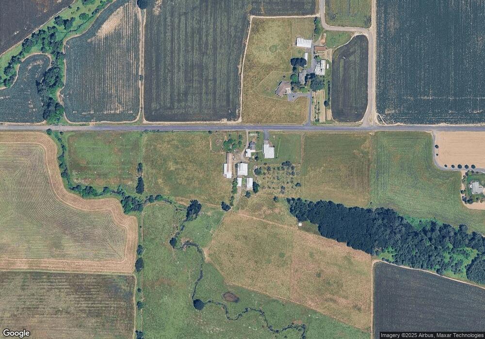
Map
Nearby Homes
- 10285 S Rosewood Way
- 36175 S Highway 213
- 35267 S Acer Ln
- 9924 S Wildcat Rd
- 37658 S Highway 213
- 37486 S Highway 213 (Adj To)
- 37486 S Hwy 213 (Adj To)
- 0 S Wilhoit Rd
- 0 Crooked Finger Rd NE Unit 827344
- 0 Crooked Finger Rd NE Unit 265826977
- 31514 S Bear Meadow Ct
- 15215 Woodburn Monitor Rd NE
- 000 Crooked Finger Rd NE
- Lot 1600 Crooked Finger Rd NE
- 15145 Woodburn Monitor Rd NE
- 0 Off of Crooked Finge Rd
- 32604 S Krupicka Way
- 30700 S Highway 170
- 8438 Cascade Hwy NE
- 31430 Oregon 213
- 9939 S Monte Cristo Rd
- 9931 S Monte Cristo Rd
- 10213 S Monte Cristo Rd
- 9508 S Monte Cristo Rd
- 9449 S Monte Cristo Rd
- 35463 S Highway 213
- 10202 S Rosewood Way
- 35350 S Highway 213
- 35400 S Highway 213
- 35400 Oregon 213
- 35500 S Highway 213
- 35771 S Highway 213
- 10226 S Rosewood Way
- 10237 S Rosewood Way
- 35212 S Highway 213
- 35640 S Highway 213
- 10230 S Rosewood Way
- 10243 S Rosewood Way
- 10210 S Monte Cristo Rd
- 10244 S Rosewood Way