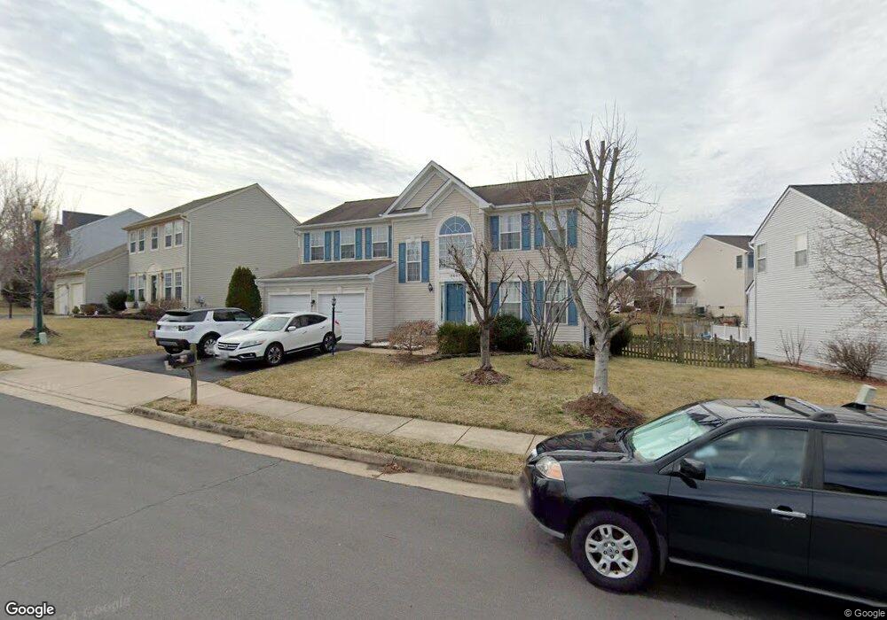
9867 Upper Mill Loop Bristow, VA 20136
Villages At Saybrooke NeighborhoodEstimated Value: $727,456 - $796,000
4
Beds
4
Baths
2,350
Sq Ft
$329/Sq Ft
Est. Value
About This Home
This home is located at 9867 Upper Mill Loop, Bristow, VA 20136 and is currently estimated at $772,364, approximately $328 per square foot. 9867 Upper Mill Loop is a home located in Prince William County with nearby schools including Patriot High School, Cedar Point Elementary School, and E.H. Marsteller Middle School.
Ownership History
Date
Name
Owned For
Owner Type
Purchase Details
Closed on
Jan 22, 2002
Sold by
Richmond American Hms Of
Bought by
Torculas Dexter R
Current Estimated Value
Home Financials for this Owner
Home Financials are based on the most recent Mortgage that was taken out on this home.
Original Mortgage
$262,900
Outstanding Balance
$107,739
Interest Rate
7.08%
Mortgage Type
New Conventional
Estimated Equity
$664,625
Create a Home Valuation Report for This Property
The Home Valuation Report is an in-depth analysis detailing your home's value as well as a comparison with similar homes in the area
Home Values in the Area
Average Home Value in this Area
Purchase History
| Date | Buyer | Sale Price | Title Company |
|---|---|---|---|
| Torculas Dexter R | $292,115 | -- |
Source: Public Records
Mortgage History
| Date | Status | Borrower | Loan Amount |
|---|---|---|---|
| Open | Torculas Dexter R | $262,900 |
Source: Public Records
Tax History
| Year | Tax Paid | Tax Assessment Tax Assessment Total Assessment is a certain percentage of the fair market value that is determined by local assessors to be the total taxable value of land and additions on the property. | Land | Improvement |
|---|---|---|---|---|
| 2025 | $6,418 | $694,700 | $204,700 | $490,000 |
| 2024 | $6,418 | $645,300 | $194,900 | $450,400 |
| 2023 | $6,348 | $610,100 | $174,600 | $435,500 |
| 2022 | $6,463 | $573,300 | $155,100 | $418,200 |
| 2021 | $6,176 | $506,600 | $142,600 | $364,000 |
| 2020 | $7,085 | $457,100 | $127,100 | $330,000 |
| 2019 | $7,046 | $454,600 | $127,100 | $327,500 |
| 2018 | $5,214 | $431,800 | $121,000 | $310,800 |
| 2017 | $5,280 | $428,500 | $121,000 | $307,500 |
| 2016 | $4,962 | $406,100 | $109,100 | $297,000 |
| 2015 | $4,697 | $398,900 | $109,100 | $289,800 |
| 2014 | $4,697 | $375,800 | $103,900 | $271,900 |
Source: Public Records
Map
Nearby Homes
- 12142 Millbill Ct
- 12151 Drum Salute Place
- 12217 Wheat Mill Loop
- 11968 Benton Lake Rd
- 9249 Alvyn Lake Cir
- 12360 Corncrib Ct
- 12021 Spring Beauty Rd
- 10021 Hume Ct
- 9568 Tarvie Cir
- 12458 Hadrians Ct
- 10351 Spring Iris Dr
- 12172 Aster Rd
- 11479 Robertson Dr
- 11969 Molly Pitcher Cir
- 11747 Alexander Hays Rd
- 10941 Samuel Trexler Dr
- 8651 Lovelace St
- 12316 Penzance Ln
- 8620 Lovelace St
- 8654 Lovelace St
- 9863 Upper Mill Loop
- 9817 Nugget Ct
- 9859 Upper Mill Loop
- 9813 Nugget Ct
- 9875 Upper Mill Loop
- 9821 Nugget Ct
- 12064 Vantage Point Ct
- 9864 Upper Mill Loop
- 9849 Upper Mill Loop
- 9879 Upper Mill Loop
- 9860 Upper Mill Loop
- 9809 Nugget Ct
- 9876 Upper Mill Loop
- 9825 Nugget Ct
- 12060 Vantage Point Ct
- 12061 Vantage Point Ct
- 9883 Upper Mill Loop
- 9845 Upper Mill Loop
- 12023 Thornbrooke Ct
- 9850 Upper Mill Loop
Your Personal Tour Guide
Ask me questions while you tour the home.