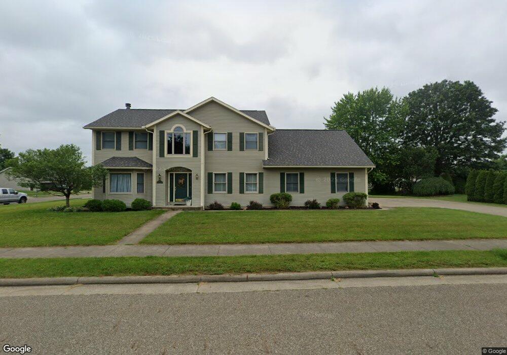
987 5th St SW New Philadelphia, OH 44663
Estimated Value: $293,000 - $383,000
3
Beds
3
Baths
2,516
Sq Ft
$137/Sq Ft
Est. Value
About This Home
This home is located at 987 5th St SW, New Philadelphia, OH 44663 and is currently estimated at $344,917, approximately $137 per square foot. 987 5th St SW is a home located in Tuscarawas County with nearby schools including New Philadelphia High School, Quaker Preparatory Academy, and Quaker Digital Academy.
Ownership History
Date
Name
Owned For
Owner Type
Purchase Details
Closed on
Aug 7, 2023
Sold by
Denham Kimberly A
Bought by
Kavadas Pete and Kavadas Kimberly A
Current Estimated Value
Purchase Details
Closed on
Dec 29, 1997
Sold by
Lerolynn Dev Corp
Bought by
Denham Kimberly A and Neiswonger Stephen P
Home Financials for this Owner
Home Financials are based on the most recent Mortgage that was taken out on this home.
Original Mortgage
$131,400
Interest Rate
7.25%
Mortgage Type
New Conventional
Create a Home Valuation Report for This Property
The Home Valuation Report is an in-depth analysis detailing your home's value as well as a comparison with similar homes in the area
Home Values in the Area
Average Home Value in this Area
Purchase History
| Date | Buyer | Sale Price | Title Company |
|---|---|---|---|
| Kavadas Pete | -- | None Listed On Document | |
| Kavadas Pete | -- | None Listed On Document | |
| Denham Kimberly A | $26,500 | -- |
Source: Public Records
Mortgage History
| Date | Status | Borrower | Loan Amount |
|---|---|---|---|
| Previous Owner | Denham Kimberly A | $131,400 |
Source: Public Records
Tax History Compared to Growth
Tax History
| Year | Tax Paid | Tax Assessment Tax Assessment Total Assessment is a certain percentage of the fair market value that is determined by local assessors to be the total taxable value of land and additions on the property. | Land | Improvement |
|---|---|---|---|---|
| 2024 | $3,295 | $85,640 | $14,210 | $71,430 |
| 2023 | $3,295 | $244,690 | $40,610 | $204,080 |
| 2022 | $3,315 | $85,642 | $14,214 | $71,428 |
| 2021 | $3,211 | $78,051 | $12,058 | $65,993 |
| 2020 | $3,228 | $78,051 | $12,058 | $65,993 |
| 2019 | $3,225 | $78,051 | $12,058 | $65,993 |
| 2018 | $2,875 | $65,860 | $10,170 | $55,690 |
| 2017 | $2,829 | $65,860 | $10,170 | $55,690 |
| 2016 | $2,898 | $65,860 | $10,170 | $55,690 |
| 2014 | $2,953 | $65,210 | $9,290 | $55,920 |
| 2013 | $2,431 | $65,210 | $9,290 | $55,920 |
Source: Public Records
Map
Nearby Homes
- 471 Snazzy Cir SW
- 1024 Thomas Dr SW
- 236 Myers Ave SW
- 1166 S Broadway St
- 1149 Jefferson St SE
- 161 York Dr SE
- 427 Sycamore Cir SE
- 1354 Independence Cir SE
- 1273 Concord Cir SE
- 1224 Goshen Ave SE
- 241 Saint Clair Ave SW
- 514 Front Ave SW
- 451 Mill Ave SE
- 405 Front Ave SW
- 651 Front Ave SW
- 902 W High Ave
- 231 4th St SE
- 344 Fair Ave NW
- 239 E High Ave Unit A
- 944 Grant Ave NW
- 492 Donald Dr SW
- 990 5th St SW
- 499 Lockport Ave SW
- 486 Donald Dr SW
- 491 Lockport Ave SW
- 491 Donald Dr SW
- 495 Donald Dr SW
- 487 Donald Dr SW
- 510 Donald Dr SW
- 483 Lockport Ave SW
- 480 Donald Dr SW
- 483 Donald Dr SW
- 499 Donald Dr SW
- 515 Lockport Ave SW
- 516 Donald Dr SW
- 545 Snazzy Cir SW
- 498 Lockport Ave SW
- 479 Donald Dr SW
- 474 Donald Dr SW
- 490 Lockport Ave SW