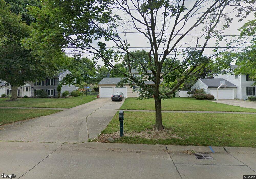
987 E Smith Rd Medina, OH 44256
Estimated Value: $294,503 - $335,000
3
Beds
2
Baths
1,532
Sq Ft
$201/Sq Ft
Est. Value
About This Home
This home is located at 987 E Smith Rd, Medina, OH 44256 and is currently estimated at $307,626, approximately $200 per square foot. 987 E Smith Rd is a home located in Medina County with nearby schools including Sidney Fenn Elementary School, Claggett Middle School, and Medina High School.
Ownership History
Date
Name
Owned For
Owner Type
Purchase Details
Closed on
Dec 31, 2012
Sold by
Moroski Mark
Bought by
Moroski Helene
Current Estimated Value
Purchase Details
Closed on
Mar 6, 2001
Sold by
Acosta Edward V and Acosta Grace A
Bought by
Shuttera Edward J and Shuttera Sheila
Home Financials for this Owner
Home Financials are based on the most recent Mortgage that was taken out on this home.
Original Mortgage
$135,850
Interest Rate
7.18%
Create a Home Valuation Report for This Property
The Home Valuation Report is an in-depth analysis detailing your home's value as well as a comparison with similar homes in the area
Home Values in the Area
Average Home Value in this Area
Purchase History
| Date | Buyer | Sale Price | Title Company |
|---|---|---|---|
| Moroski Helene | $12,500 | None Available | |
| Shuttera Edward J | $143,000 | Insignia Title Agency Ltd |
Source: Public Records
Mortgage History
| Date | Status | Borrower | Loan Amount |
|---|---|---|---|
| Previous Owner | Shuttera Edward J | $135,850 |
Source: Public Records
Tax History
| Year | Tax Paid | Tax Assessment Tax Assessment Total Assessment is a certain percentage of the fair market value that is determined by local assessors to be the total taxable value of land and additions on the property. | Land | Improvement |
|---|---|---|---|---|
| 2024 | $3,554 | $70,410 | $22,230 | $48,180 |
| 2023 | $3,501 | $70,410 | $22,230 | $48,180 |
| 2022 | $3,005 | $70,410 | $22,230 | $48,180 |
| 2021 | $2,808 | $55,440 | $17,500 | $37,940 |
| 2020 | $2,831 | $55,440 | $17,500 | $37,940 |
| 2019 | $2,780 | $55,440 | $17,500 | $37,940 |
| 2018 | $2,620 | $48,670 | $16,580 | $32,090 |
| 2017 | $2,657 | $48,670 | $16,580 | $32,090 |
| 2016 | $2,736 | $48,670 | $16,580 | $32,090 |
| 2015 | $2,679 | $45,480 | $15,490 | $29,990 |
| 2014 | $2,671 | $45,480 | $15,490 | $29,990 |
| 2013 | $2,675 | $45,480 | $15,490 | $29,990 |
Source: Public Records
Map
Nearby Homes
- 599 Berkshire Dr
- 4138 Timber Trail
- 5171 Crown Pointe Dr
- 936 Smokerise Dr
- 140 Roshon Dr
- 4032 Timber Trail
- 640 Shaker Dr
- 5532 Brook Run Dr
- 915 Sturbridge Dr
- 1001 Sturbridge Dr
- 5551 Brook Run Dr
- 1057 Ty Dr
- 40 Squires Ct
- 230 Simon Ln
- 651 Sturbridge Dr Unit 26
- 0 Wadsworth Rd
- 6465 Buckeye Ln
- 2798 Grayson Dr
- 887 Ridgeview Dr
- 1107 Wadsworth Rd
- 999 E Smith Rd
- 975 E Smith Rd
- 990 Old Farm Trail
- 1003 E Smith Rd
- 967 E Smith Rd
- 1000 Old Farm Trail
- 980 Old Farm Trail
- 1008 Old Farm Trail
- 986 E Smith Rd
- 970 Old Farm Trail
- 990 E Smith Rd
- 1011 E Smith Rd
- 978 E Smith Rd
- 955 E Smith Rd
- 0 Old Farm Trail
- 1016 Old Farm Trail
- 970 E Smith Rd
- 960 Old Farm Trail
- 998 E Smith Rd
- 1021 E Smith Rd
Your Personal Tour Guide
Ask me questions while you tour the home.