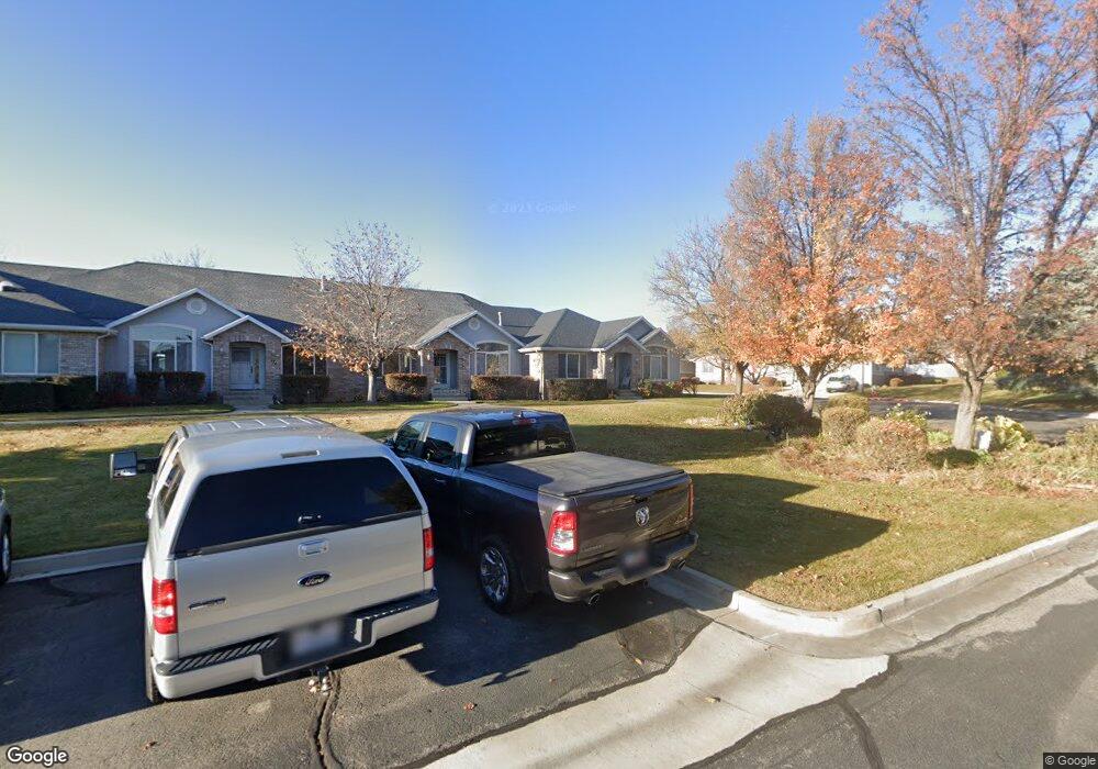
987 N 400 W American Fork, UT 84003
Estimated Value: $519,000 - $560,000
4
Beds
3
Baths
3,053
Sq Ft
$175/Sq Ft
Est. Value
About This Home
This home is located at 987 N 400 W, American Fork, UT 84003 and is currently estimated at $534,920, approximately $175 per square foot. 987 N 400 W is a home located in Utah County with nearby schools including Shelley Elementary School, American Fork Junior High School, and American Fork High School.
Ownership History
Date
Name
Owned For
Owner Type
Purchase Details
Closed on
Oct 17, 2019
Sold by
Anderson Leanne and Edmunds Mary Elle
Bought by
Ford Andrew
Current Estimated Value
Purchase Details
Closed on
Oct 3, 2018
Sold by
Anderson Jon David and Anderson Leanne
Bought by
Anderson Leanne and Edmunds Mary Ellen
Purchase Details
Closed on
Dec 6, 1996
Sold by
Mountain View Development Co Inc
Bought by
Agren Pehr Arlen and Agren Shirley S
Home Financials for this Owner
Home Financials are based on the most recent Mortgage that was taken out on this home.
Original Mortgage
$136,000
Interest Rate
7.86%
Create a Home Valuation Report for This Property
The Home Valuation Report is an in-depth analysis detailing your home's value as well as a comparison with similar homes in the area
Home Values in the Area
Average Home Value in this Area
Purchase History
| Date | Buyer | Sale Price | Title Company |
|---|---|---|---|
| Ford Andrew | -- | First American Orem | |
| Anderson Leanne | -- | Advantage Title Ins Agency L | |
| Agren Pehr Arlen | -- | -- |
Source: Public Records
Mortgage History
| Date | Status | Borrower | Loan Amount |
|---|---|---|---|
| Previous Owner | Agren Pehr Arlen | $136,000 |
Source: Public Records
Tax History Compared to Growth
Tax History
| Year | Tax Paid | Tax Assessment Tax Assessment Total Assessment is a certain percentage of the fair market value that is determined by local assessors to be the total taxable value of land and additions on the property. | Land | Improvement |
|---|---|---|---|---|
| 2025 | $2,244 | $256,355 | $68,500 | $397,600 |
| 2024 | $2,244 | $249,370 | $0 | $0 |
| 2023 | $2,131 | $251,075 | $0 | $0 |
| 2022 | $2,258 | $262,460 | $0 | $0 |
| 2021 | $1,850 | $336,000 | $50,400 | $285,600 |
| 2020 | $1,835 | $323,100 | $48,500 | $274,600 |
| 2019 | $659 | $120,000 | $36,000 | $84,000 |
| 2018 | $689 | $120,000 | $36,000 | $84,000 |
| 2017 | $702 | $66,000 | $0 | $0 |
| 2016 | $756 | $66,000 | $0 | $0 |
| 2015 | $796 | $66,000 | $0 | $0 |
| 2014 | $1,211 | $99,000 | $0 | $0 |
Source: Public Records
Map
Nearby Homes
- 471 W 1040 N
- 533 W 860 N
- 425 W 1120 N
- 344 W 1080 N
- 359 W 1120 N
- 602 W 860 N
- 641 N 350 W
- 641 N 420 W
- 356 W 1300 N
- 822 W 800 St N Unit LOT319
- 3935 W 1000 N Unit 438
- 3983 W 1000 N Unit 442
- 4007 W 1000 N
- 3947 W 1000 N Unit 439
- 3971 W 1000 N Unit 441
- 3959 W 1000 N
- 3995 W 1000 N
- 822 N 860 W Unit 317
- 287 W 1360 N
- 962 N 780 St W Unit 508
- 985 N 400 W
- 983 N 400 W
- 981 N 400 W
- 958 N 420 W Unit 211B
- 979 N 400 W
- 962 N 420 W Unit 211C
- 988 N 410 W
- 986 N 410 W
- 979 N 420 W
- 972 N 420 W Unit 211E
- 984 N 400 W Unit B
- 984 N 400 W Unit A
- 984 N 400 W
- 984 N 400 W Unit C
- 978 N 400 W Unit C
- 978 N 400 W
- 978 N 400 W Unit D
- 978 N 400 W Unit A
- 964 N 500 W
- 977 N 420 W