987 Pauline Ave Pine City, NY 14871
Estimated Value: $158,000 - $245,000
3
Beds
2
Baths
1,800
Sq Ft
$120/Sq Ft
Est. Value
About This Home
This home is located at 987 Pauline Ave, Pine City, NY 14871 and is currently estimated at $215,606, approximately $119 per square foot. 987 Pauline Ave is a home located in Chemung County with nearby schools including Pine City School, Broadway Elementary School, and Broadway Academy.
Ownership History
Date
Name
Owned For
Owner Type
Purchase Details
Closed on
May 29, 2009
Sold by
Knapp Dorothy
Bought by
Koerner Timothy
Current Estimated Value
Home Financials for this Owner
Home Financials are based on the most recent Mortgage that was taken out on this home.
Original Mortgage
$125,900
Outstanding Balance
$80,989
Interest Rate
4.87%
Mortgage Type
Purchase Money Mortgage
Estimated Equity
$134,617
Create a Home Valuation Report for This Property
The Home Valuation Report is an in-depth analysis detailing your home's value as well as a comparison with similar homes in the area
Home Values in the Area
Average Home Value in this Area
Purchase History
| Date | Buyer | Sale Price | Title Company |
|---|---|---|---|
| Koerner Timothy | $139,900 | John Maloney |
Source: Public Records
Mortgage History
| Date | Status | Borrower | Loan Amount |
|---|---|---|---|
| Open | Koerner Timothy | $125,900 | |
| Previous Owner | Roe Knapp Dorothy K | $199,500 |
Source: Public Records
Tax History Compared to Growth
Tax History
| Year | Tax Paid | Tax Assessment Tax Assessment Total Assessment is a certain percentage of the fair market value that is determined by local assessors to be the total taxable value of land and additions on the property. | Land | Improvement |
|---|---|---|---|---|
| 2024 | $4,259 | $153,800 | $23,450 | $130,350 |
| 2023 | $4,131 | $153,800 | $23,450 | $130,350 |
| 2022 | $4,667 | $153,800 | $23,450 | $130,350 |
| 2021 | $4,094 | $145,100 | $22,100 | $123,000 |
| 2020 | $4,080 | $145,100 | $22,100 | $123,000 |
| 2019 | $1,627 | $145,100 | $22,100 | $123,000 |
| 2018 | $3,939 | $145,100 | $22,100 | $123,000 |
| 2017 | $3,866 | $145,100 | $22,100 | $123,000 |
| 2016 | $3,847 | $145,100 | $22,100 | $123,000 |
| 2015 | -- | $145,100 | $22,100 | $123,000 |
| 2014 | -- | $126,300 | $17,200 | $109,100 |
Source: Public Records
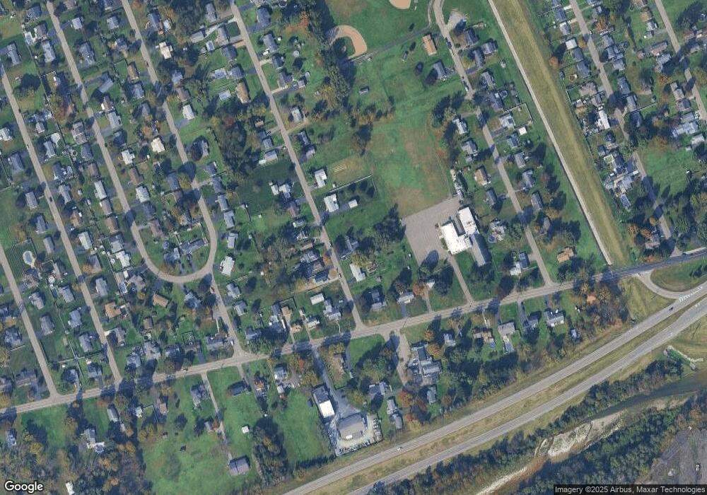
Map
Nearby Homes
- 992 Pauline Ave
- 980 Pauline Ave
- 44 Crestview Dr E
- 1230 Pennsylvania Ave
- 33 Dalrymple Ave
- 57 Dalrymple Ave
- 1210 Trescott Dr
- 810 Sycamore St
- 820 Hazel St
- 825 Hazel St
- 1017 Smith St
- 1005 Pennsylvania Ave
- 825 Broadway St
- 777 Cedar St
- 905 Mount Zoar Rd
- 771 Southport St
- 741 Hopkins St
- 609 Cedar St
- 515 Stacia Dr
- 705 Holdridge St
- 991 Pauline Ave
- 981 Pauline Ave
- 988 Pauline Ave
- 990 Pauline Ave
- 986 Pauline Ave
- 1246 Pennsylvania Ave
- 984 Pauline Ave
- 1242 Pennsylvania Ave
- 982 Pauline Ave
- 975 Pauline Ave
- 1248 Pennsylvania Ave
- 976 Pauline Ave
- 1250 Pennsylvania Ave
- 1825B Pennsylvania Ave
- 971 Pauline Ave
- 1252 Pennsylvania Ave
- 967 Pauline Ave
- 1254 Pennsylvania Ave
- 970 Pauline Ave
- 20 Crestview Dr E