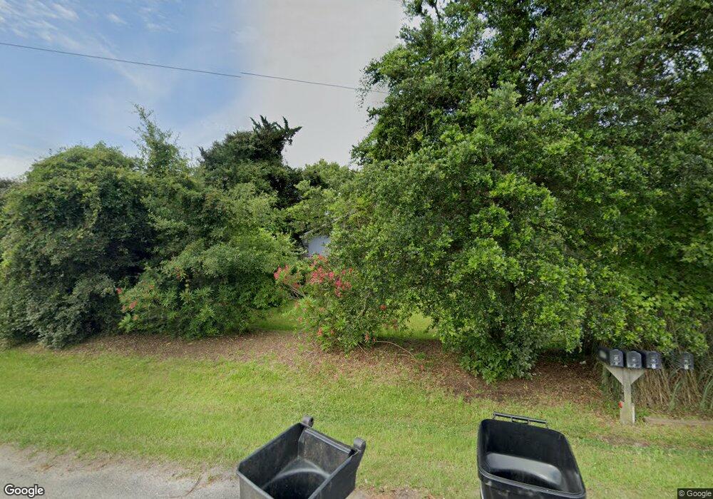
987 W Kitty Hawk Rd Kitty Hawk, NC 27949
Estimated Value: $416,000 - $543,000
2
Beds
1
Bath
640
Sq Ft
$772/Sq Ft
Est. Value
About This Home
This home is located at 987 W Kitty Hawk Rd, Kitty Hawk, NC 27949 and is currently estimated at $494,358, approximately $772 per square foot. 987 W Kitty Hawk Rd is a home located in Dare County with nearby schools including Kitty Hawk Elementary School, First Flight Middle School, and First Flight High School.
Ownership History
Date
Name
Owned For
Owner Type
Purchase Details
Closed on
Mar 19, 2021
Sold by
Barrett Helen Wallace and Wallace Helen Wells
Bought by
Quter Banks Beach Club Ii Owners Association
Current Estimated Value
Purchase Details
Closed on
May 21, 2009
Sold by
White Arthur L and White Laurie A
Bought by
Harvey Glenn L and Harvey Wendy M
Create a Home Valuation Report for This Property
The Home Valuation Report is an in-depth analysis detailing your home's value as well as a comparison with similar homes in the area
Home Values in the Area
Average Home Value in this Area
Purchase History
| Date | Buyer | Sale Price | Title Company |
|---|---|---|---|
| Quter Banks Beach Club Ii Owners Association | $500 | None Listed On Document | |
| Quter Banks Beach Club Ii Owners Association | $500 | None Listed On Document | |
| Quter Banks Beach Club Ii Owners Association | $500 | None Listed On Document | |
| Harvey Glenn L | $290,000 | None Available |
Source: Public Records
Tax History Compared to Growth
Tax History
| Year | Tax Paid | Tax Assessment Tax Assessment Total Assessment is a certain percentage of the fair market value that is determined by local assessors to be the total taxable value of land and additions on the property. | Land | Improvement |
|---|---|---|---|---|
| 2025 | $2,428 | $502,500 | $147,300 | $355,200 |
| 2024 | $2,247 | $320,800 | $104,000 | $216,800 |
| 2023 | $2,247 | $320,800 | $104,000 | $216,800 |
| 2022 | $2,247 | $320,800 | $104,000 | $216,800 |
| 2021 | $2,247 | $320,800 | $104,000 | $216,800 |
| 2020 | $2,247 | $320,800 | $104,000 | $216,800 |
| 2019 | $1,735 | $214,200 | $82,800 | $131,400 |
| 2018 | $1,735 | $214,200 | $82,800 | $131,400 |
| 2017 | $1,735 | $214,200 | $82,800 | $131,400 |
| 2016 | $1,649 | $214,200 | $82,800 | $131,400 |
| 2014 | $1,607 | $214,200 | $82,800 | $131,400 |
Source: Public Records
Map
Nearby Homes
- 0 W Kitty Hawk Rd Unit Lot N/A
- 802 W Kitty Hawk Rd Unit Lot A1
- 1101 W Kitty Hawk Rd
- 800 W Kitty Hawk Rd
- 3932 Poor Ridge Rd
- 4108 Bob Perry Rd Unit lot:Parcel 2
- 2902 Seahorse Ct Unit 2902
- 4326 Carrenda Ln Unit Lot 1E
- 3104 Coral Reef Ct Unit 3104
- 2406 Neptune Way Unit 2406
- 906 Swordfish Way Unit 906
- 4427 Ridge Rd Unit Lot 3A
- 302 Angler Way Unit 302
- 122 Gables Way Unit 9A
- 307 Angler Way Unit 307
- 102 Angler Way Unit 2
- 4103 Captain Cuttle Ct Unit 4103
- 206 Heritage Ln Unit Lot 700
- 4509 Seascape Dr Unit 322
- 4609 Tamarack Dr Unit Lot 10
- 987 W Kitty Hawk Rd Unit 6
- 985 W Kitty Hawk Rd
- 990 W Kitty Hawk Rd
- 992 W Kitty Hawk Rd
- 994 W Kitty Hawk Rd
- 0 W Kitty Hawk Rd Unit 5 64829
- 0 W Kitty Hawk Rd Unit 79204
- 0 W Kitty Hawk Rd Unit 84103
- 0 W Kitty Hawk Rd Unit Lot N/A 129691
- 0 W Kitty Hawk Rd Unit 120755
- 0 W Kitty Hawk Rd Unit 117994
- 726 A W Kitty Hawk Rd Unit Lot 1A
- 856 W Kitty Hawk Rd
- 947 W Kitty Hawk Rd Unit 5
- 4236 Poor Ridge Rd
- 4240 Poor Ridge Rd Unit 1
- 4240 Poor Ridge Rd
- 4232 Poor Ridge Rd
- 4212 Poor Ridge Rd
- 4220 Poor Ridge Rd
