9870 Farmbrook Ln Alpharetta, GA 30022
Estimated Value: $921,421 - $1,236,000
3
Beds
3
Baths
4,046
Sq Ft
$258/Sq Ft
Est. Value
About This Home
This home is located at 9870 Farmbrook Ln, Alpharetta, GA 30022 and is currently estimated at $1,042,355, approximately $257 per square foot. 9870 Farmbrook Ln is a home located in Fulton County with nearby schools including State Bridge Crossing Elementary School, Autrey Mill Middle School, and Johns Creek High School.
Ownership History
Date
Name
Owned For
Owner Type
Purchase Details
Closed on
Nov 7, 2005
Sold by
Sanders Malcolm D and Sanders Helen S
Bought by
Poline Michael R and Poline Abbe G
Current Estimated Value
Home Financials for this Owner
Home Financials are based on the most recent Mortgage that was taken out on this home.
Original Mortgage
$411,200
Interest Rate
6.19%
Mortgage Type
New Conventional
Purchase Details
Closed on
Aug 30, 1993
Sold by
Ford Leona V
Bought by
Sanders Malcolm D Helen S
Home Financials for this Owner
Home Financials are based on the most recent Mortgage that was taken out on this home.
Original Mortgage
$225,000
Interest Rate
7.22%
Create a Home Valuation Report for This Property
The Home Valuation Report is an in-depth analysis detailing your home's value as well as a comparison with similar homes in the area
Purchase History
| Date | Buyer | Sale Price | Title Company |
|---|---|---|---|
| Poline Michael R | $514,000 | -- | |
| Sanders Malcolm D Helen S | $282,000 | -- |
Source: Public Records
Mortgage History
| Date | Status | Borrower | Loan Amount |
|---|---|---|---|
| Previous Owner | Poline Michael R | $411,200 | |
| Previous Owner | Sanders Malcolm D Helen S | $225,000 |
Source: Public Records
Tax History
| Year | Tax Paid | Tax Assessment Tax Assessment Total Assessment is a certain percentage of the fair market value that is determined by local assessors to be the total taxable value of land and additions on the property. | Land | Improvement |
|---|---|---|---|---|
| 2025 | $6,826 | $393,600 | $93,200 | $300,400 |
| 2023 | $9,948 | $352,440 | $108,200 | $244,240 |
| 2022 | $6,535 | $290,840 | $89,120 | $201,720 |
| 2021 | $6,482 | $252,520 | $69,440 | $183,080 |
| 2020 | $6,530 | $240,280 | $68,640 | $171,640 |
| 2018 | $7,590 | $261,520 | $93,600 | $167,920 |
| 2017 | $6,403 | $200,280 | $58,840 | $141,440 |
| 2016 | $6,302 | $200,280 | $58,840 | $141,440 |
Source: Public Records
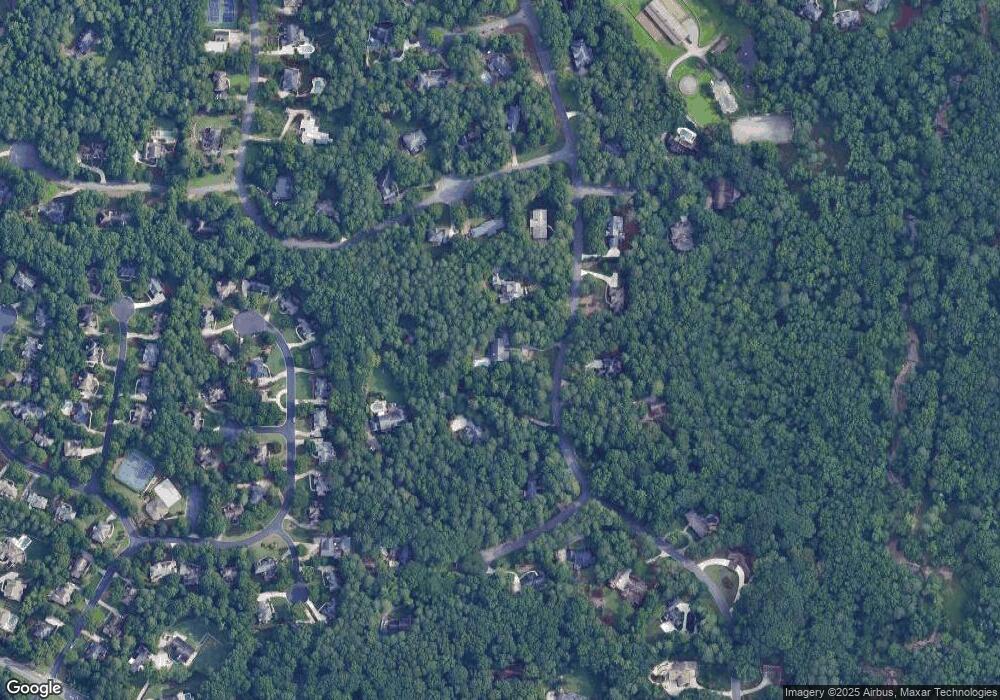
Map
Nearby Homes
- 420 Link Rd
- 5185 Buice Rd
- 170 Stone Pond Ln
- 10281 Midway Ave
- 10296 Quadrant Ct Unit 76
- 5140 Meridian Ln Unit 53
- 510 Winston Croft Cir Unit 56
- 1019 Crown Oak St Unit 51
- 1017 Crown Oak St Unit 50
- 10060 Buice Rd
- 1011 Crown Oak St Unit 47
- 1005 Crown Oak St Unit 44
- 1003 Crown Oak St Unit 43
- 9410 Coleherne Ct Unit 1
- 395 Pelton Ct
- 502 Rd Unit 1
- 504 Whatton Rd Unit 2
- 506 Whatton Rd Unit 3
- 508 Whatton Rd Unit 4
- 510 Whatton Rd Unit 5
- 9890 Farmbrook Ln Unit 2
- 9850 Farmbrook Ln Unit 2
- 735 Old Oak Trace
- 9865 Farmbrook Ln
- 610 Buttercup Trace
- 620 Buttercup Trace
- 9830 Farmbrook Ln
- 9885 Farmbrook Ln
- 9910 Farmbrook Ln
- 9885 Hunt Club Way Unit 1
- 9875 Hunt Club Way
- 9865 Hunt Club Way
- 9905 Farmbrook Ln
- 9895 Hunt Club Way
- 9845 Farmbrook Ln Unit 2
- 9855 Hunt Club Way Unit 1
- 9905 Hunt Club Way Unit 1
- 630 Buttercup Trace
- 9845 Hunt Club Way
- 700 Old Oak Trace
Your Personal Tour Guide
Ask me questions while you tour the home.