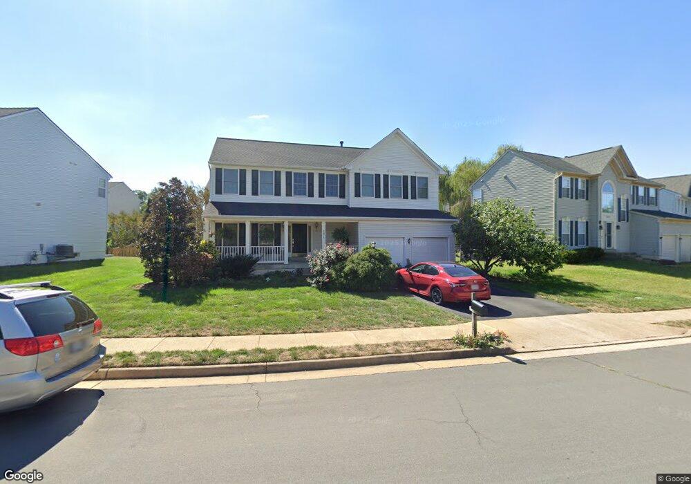
9875 Upper Mill Loop Bristow, VA 20136
Villages At Saybrooke NeighborhoodEstimated Value: $738,296 - $773,000
4
Beds
3
Baths
2,334
Sq Ft
$323/Sq Ft
Est. Value
About This Home
This home is located at 9875 Upper Mill Loop, Bristow, VA 20136 and is currently estimated at $753,574, approximately $322 per square foot. 9875 Upper Mill Loop is a home located in Prince William County with nearby schools including Patriot High School, Cedar Point Elementary School, and E.H. Marsteller Middle School.
Ownership History
Date
Name
Owned For
Owner Type
Purchase Details
Closed on
Jul 31, 2001
Sold by
Richmond American Homes O
Bought by
Mckerley Paul
Current Estimated Value
Home Financials for this Owner
Home Financials are based on the most recent Mortgage that was taken out on this home.
Original Mortgage
$240,750
Outstanding Balance
$93,845
Interest Rate
7.14%
Estimated Equity
$659,729
Create a Home Valuation Report for This Property
The Home Valuation Report is an in-depth analysis detailing your home's value as well as a comparison with similar homes in the area
Home Values in the Area
Average Home Value in this Area
Purchase History
| Date | Buyer | Sale Price | Title Company |
|---|---|---|---|
| Mckerley Paul | $300,990 | -- |
Source: Public Records
Mortgage History
| Date | Status | Borrower | Loan Amount |
|---|---|---|---|
| Open | Mckerley Paul | $240,750 |
Source: Public Records
Tax History
| Year | Tax Paid | Tax Assessment Tax Assessment Total Assessment is a certain percentage of the fair market value that is determined by local assessors to be the total taxable value of land and additions on the property. | Land | Improvement |
|---|---|---|---|---|
| 2025 | $6,009 | $647,800 | $204,400 | $443,400 |
| 2024 | $6,009 | $604,200 | $194,600 | $409,600 |
| 2023 | $5,935 | $570,400 | $174,300 | $396,100 |
| 2022 | $6,041 | $535,200 | $154,900 | $380,300 |
| 2021 | $5,776 | $473,200 | $142,300 | $330,900 |
| 2020 | $6,598 | $425,700 | $126,800 | $298,900 |
| 2019 | $6,521 | $420,700 | $126,800 | $293,900 |
| 2018 | $4,935 | $408,700 | $120,700 | $288,000 |
| 2017 | $5,006 | $405,800 | $120,700 | $285,100 |
| 2016 | $4,701 | $384,200 | $108,800 | $275,400 |
| 2015 | $4,392 | $372,400 | $108,800 | $263,600 |
| 2014 | $4,392 | $350,800 | $103,600 | $247,200 |
Source: Public Records
Map
Nearby Homes
- 11821 Arcari Dr
- 12017 Youngtree Ct
- 12149 Drum Salute Place
- 12151 Drum Salute Place
- 11863 Benton Lake Rd
- 9322 Falling Water Dr
- 9239 Dawkins Crest Cir
- 12217 Wheat Mill Loop
- 9249 Alvyn Lake Cir
- 12360 Corncrib Ct
- 12511 Heykens Ln
- 9568 Tarvie Cir
- 12458 Hadrians Ct
- 10351 Spring Iris Dr
- 12172 Aster Rd
- 12203 Aster Rd
- 9092 Ribbon Falls Loop
- 11650 Iron Brigade Unit Ave
- 11701 Town Green Rd
- 8943 Brewer Creek Place
- 9879 Upper Mill Loop
- 9813 Nugget Ct
- 9809 Nugget Ct
- 9883 Upper Mill Loop
- 9867 Upper Mill Loop
- 9876 Upper Mill Loop
- 9817 Nugget Ct
- 12023 Thornbrooke Ct
- 12064 Vantage Point Ct
- 9805 Nugget Ct
- 9887 Upper Mill Loop
- 9863 Upper Mill Loop
- 11842 Arcari Dr
- 11822 Arcari Dr
- 11850 Arcari Dr
- 11818 Arcari Dr
- 11814 Arcari Dr
- 11826 Arcari Dr
- 11804 Arcari Dr
- 11808 Arcari Dr
Your Personal Tour Guide
Ask me questions while you tour the home.