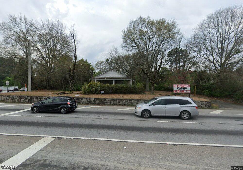
988 Athens Hwy Loganville, GA 30052
Estimated Value: $248,000 - $386,000
3
Beds
1
Bath
1,516
Sq Ft
$198/Sq Ft
Est. Value
About This Home
This home is located at 988 Athens Hwy, Loganville, GA 30052 and is currently estimated at $299,606, approximately $197 per square foot. 988 Athens Hwy is a home with nearby schools including Magill Elementary School, Grace Snell Middle School, and South Gwinnett High School.
Ownership History
Date
Name
Owned For
Owner Type
Purchase Details
Closed on
Nov 16, 2015
Sold by
Foster Runell Brooks
Bought by
Life Estate Funding Llc
Current Estimated Value
Purchase Details
Closed on
Jun 18, 2015
Sold by
Thompson Mary Nell Foster
Bought by
Foster Runell Brooks
Purchase Details
Closed on
Jan 4, 2014
Sold by
Foster Runell Brooks
Bought by
Thompson Mary Nell Foster
Purchase Details
Closed on
Jul 17, 1997
Sold by
Foster Runnell Brooks
Bought by
Herrmann Danny K
Create a Home Valuation Report for This Property
The Home Valuation Report is an in-depth analysis detailing your home's value as well as a comparison with similar homes in the area
Home Values in the Area
Average Home Value in this Area
Purchase History
| Date | Buyer | Sale Price | Title Company |
|---|---|---|---|
| Life Estate Funding Llc | $300,000 | -- | |
| Foster Runell Brooks | -- | -- | |
| Thompson Mary Nell Foster | -- | -- | |
| Herrmann Danny K | $470,000 | -- |
Source: Public Records
Tax History Compared to Growth
Tax History
| Year | Tax Paid | Tax Assessment Tax Assessment Total Assessment is a certain percentage of the fair market value that is determined by local assessors to be the total taxable value of land and additions on the property. | Land | Improvement |
|---|---|---|---|---|
| 2024 | $2,352 | $53,960 | $18,000 | $35,960 |
| 2023 | $2,352 | $53,960 | $18,000 | $35,960 |
| 2022 | $1,805 | $41,560 | $10,000 | $31,560 |
| 2021 | $796 | $41,560 | $10,000 | $31,560 |
| 2020 | $794 | $41,560 | $10,000 | $31,560 |
| 2019 | $1,536 | $100,680 | $85,640 | $15,040 |
| 2018 | $1,518 | $100,680 | $85,640 | $15,040 |
| 2016 | $1,551 | $100,680 | $85,640 | $15,040 |
| 2015 | $1,589 | $100,680 | $85,640 | $15,040 |
| 2014 | -- | $100,680 | $85,640 | $15,040 |
Source: Public Records
Map
Nearby Homes
- 0 Rosebud Rd Unit 5.0 5996766
- 0 Rosebud Rd Unit 5.0 8361745
- 0 Rosebud Rd Unit 5902559
- 0 Rosebud Rd Unit 8251965
- 0 Rosebud Rd Unit 2649536
- 0 Rosebud Rd Unit 3210549
- 0 Rosebud Rd Unit 5.0 7388233
- 0 Rosebud Rd Unit 3883667
- 000 Rosebud Rd
- 0 Rosebud Rd Unit 5.0 5384984
- 0 Rosebud Rd Unit 8024918
- 0 Rosebud Rd Unit 3216102
- 0 Rosebud Rd Unit 8043765
- 0 Rosebud Rd Unit 7260306
- 0 Rosebud Rd Unit 7519112
- 0 Rosebud Rd Unit 7486843
- 0 Rosebud Rd Unit 7052902
- 0 Rosebud Rd Unit 3088699
- 0 Rosebud Rd Unit 3108492
- 0 Rosebud Rd Unit 8027972