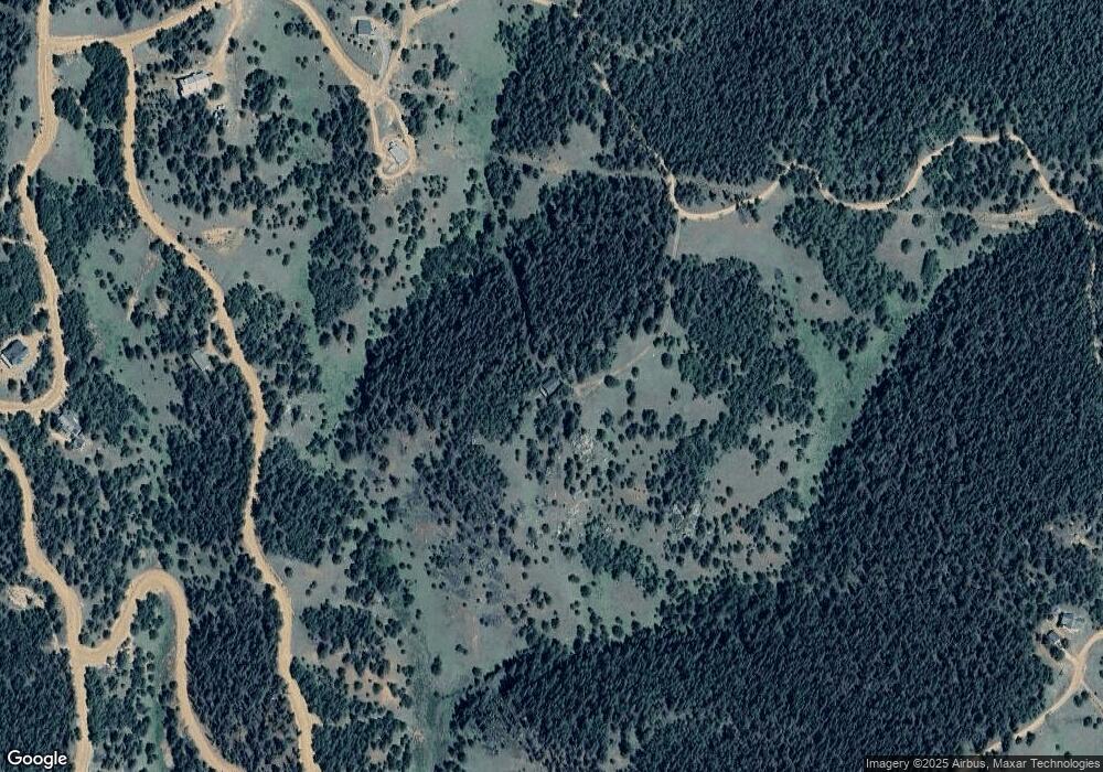
988 Crown Point Dr Cripple Creek, CO 80813
Estimated Value: $480,000 - $630,000
3
Beds
3
Baths
1,582
Sq Ft
$352/Sq Ft
Est. Value
About This Home
This home is located at 988 Crown Point Dr, Cripple Creek, CO 80813 and is currently estimated at $557,168, approximately $352 per square foot. 988 Crown Point Dr is a home with nearby schools including Cresson Elementary School and Cripple Creek-Victor Junior/Senior High School.
Ownership History
Date
Name
Owned For
Owner Type
Purchase Details
Closed on
Mar 28, 2003
Sold by
Babcock Bryan C and Babcock Betsy B
Bought by
Dehart Herbert E and Dehart Kathleen A
Current Estimated Value
Home Financials for this Owner
Home Financials are based on the most recent Mortgage that was taken out on this home.
Original Mortgage
$100,000
Outstanding Balance
$39,795
Interest Rate
4.75%
Estimated Equity
$517,373
Purchase Details
Closed on
Jul 22, 1998
Bought by
Dehart Herbert E and Dehart Kathleen A
Purchase Details
Closed on
May 31, 1998
Bought by
Dehart Herbert E and Dehart Kathleen A
Create a Home Valuation Report for This Property
The Home Valuation Report is an in-depth analysis detailing your home's value as well as a comparison with similar homes in the area
Home Values in the Area
Average Home Value in this Area
Purchase History
| Date | Buyer | Sale Price | Title Company |
|---|---|---|---|
| Dehart Herbert E | $210,000 | -- | |
| Dehart Herbert E | -- | -- | |
| Dehart Herbert E | -- | -- |
Source: Public Records
Mortgage History
| Date | Status | Borrower | Loan Amount |
|---|---|---|---|
| Open | Dehart Herbert E | $100,000 |
Source: Public Records
Tax History Compared to Growth
Tax History
| Year | Tax Paid | Tax Assessment Tax Assessment Total Assessment is a certain percentage of the fair market value that is determined by local assessors to be the total taxable value of land and additions on the property. | Land | Improvement |
|---|---|---|---|---|
| 2024 | $890 | $28,870 | $8,542 | $20,328 |
| 2023 | $890 | $28,870 | $8,540 | $20,330 |
| 2022 | $964 | $29,440 | $4,410 | $25,030 |
| 2021 | $1,002 | $30,280 | $4,530 | $25,750 |
| 2020 | $881 | $27,040 | $5,740 | $21,300 |
| 2019 | $875 | $27,040 | $0 | $0 |
| 2018 | $753 | $21,240 | $0 | $0 |
| 2017 | $768 | $21,240 | $0 | $0 |
| 2016 | $948 | $25,490 | $0 | $0 |
| 2015 | $947 | $25,490 | $0 | $0 |
| 2014 | $914 | $25,130 | $0 | $0 |
Source: Public Records
Map
Nearby Homes
- 0 Brown Bear Dr
- 110 Brown Bear Ln
- 70 Brown Bear Ln
- 864 Wellington Dr
- 1196 Wellington Dr
- 2455 Yorktown Rd
- 124 Yorktown Dr
- 0 County Road 61 Unit REC8609443
- 0 County Road 61 Unit 9321658
- 1944 May Queen Dr
- 2642 Yorktown Rd
- 2724 Yorktown Rd
- 2652 Yorktown Rd
- 507 Yorktown Rd
- 0 Tbd Four Mile Rd
- 532 May Queen Dr
- 336 May Queen Dr
- 1601 May Queen Dr
- 158 Rattler Ct
- 747 May Queen Dr
- 162 Crown Point Dr
- 136 Brown Bear Dr
- 325 Brown Bear Dr
- 460 Brown Bear Dr
- 433 Brown Bear Dr
- 104 Crown Point Cir
- 104 Crown Point Dr
- 135 Crown Point Dr
- 822 Fairview Dr
- 52 Crown Point Cir
- 156 Crown Point Dr
- 823 Fairview Dr
- 137 Crown Point Dr
- 924 Crown Point Cir
- 104 Brown Bear Ln
- 1021 Crown Point Cir
- 909 Fairview Dr
- 53 Brown Bear Dr
- 95 Fairview Dr
- 1429 Fairview Dr
