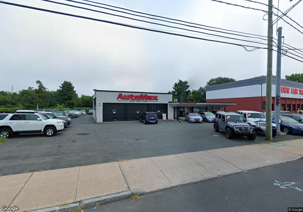
988 New Britain Ave West Hartford, CT 06110
Estimated Value: $536,515
--
Bed
--
Bath
4,150
Sq Ft
$129/Sq Ft
Est. Value
About This Home
This home is located at 988 New Britain Ave, West Hartford, CT 06110 and is currently estimated at $536,515, approximately $129 per square foot. 988 New Britain Ave is a home located in Hartford County with nearby schools including Charter Oak International Academy, Sedgwick Middle School, and Conard High School.
Ownership History
Date
Name
Owned For
Owner Type
Purchase Details
Closed on
May 12, 2011
Sold by
Smuldki James M
Bought by
988 New Britain Ave Ll
Current Estimated Value
Purchase Details
Closed on
May 10, 2011
Sold by
Smulski Jennifer Suzann
Bought by
Smulski Michael L
Purchase Details
Closed on
Feb 12, 1997
Sold by
Est Hebor Lucille C and Tuell Timothy
Bought by
Cristofare Rocco and Cristofare Lucia
Create a Home Valuation Report for This Property
The Home Valuation Report is an in-depth analysis detailing your home's value as well as a comparison with similar homes in the area
Home Values in the Area
Average Home Value in this Area
Purchase History
| Date | Buyer | Sale Price | Title Company |
|---|---|---|---|
| 988 New Britain Ave Ll | -- | -- | |
| Smulski Michael L | -- | -- | |
| Cristofare Rocco | $165,000 | -- |
Source: Public Records
Tax History Compared to Growth
Tax History
| Year | Tax Paid | Tax Assessment Tax Assessment Total Assessment is a certain percentage of the fair market value that is determined by local assessors to be the total taxable value of land and additions on the property. | Land | Improvement |
|---|---|---|---|---|
| 2025 | $15,620 | $348,810 | $238,210 | $110,600 |
| 2024 | $14,772 | $348,810 | $238,210 | $110,600 |
| 2023 | $14,273 | $348,810 | $238,210 | $110,600 |
| 2022 | $14,190 | $348,810 | $238,210 | $110,600 |
| 2021 | $10,978 | $258,790 | $184,100 | $74,690 |
| 2020 | $10,823 | $258,930 | $184,240 | $74,690 |
| 2019 | $10,823 | $258,930 | $184,240 | $74,690 |
| 2018 | $10,616 | $258,930 | $184,240 | $74,690 |
| 2017 | $10,626 | $258,930 | $184,240 | $74,690 |
| 2016 | $13,654 | $345,590 | $212,240 | $133,350 |
| 2015 | $13,240 | $345,590 | $212,240 | $133,350 |
| 2014 | $12,915 | $345,590 | $212,240 | $133,350 |
Source: Public Records
Map
Nearby Homes
- 937 New Britain Ave
- 93 Stanwood St
- 90 Meriline Ave
- 127 Hollywood Ave
- 161 Abbotsford Ave
- 5 Brinley Ave
- 61 Wilbur St
- 11 Nepaug St
- 93 Marion St Unit 3
- 82 Nepaug St
- 41 Page Ave
- 121 Cambridge St
- 43 Marion St
- 27 Clermont St
- 31 Clermont St Unit 33
- 90 Park Place Cir Unit 90
- 49 Park Place Cir Unit 49
- 204 Trout Brook Dr
- 1145 New Britain Ave
- 17 Parkview Rd
- 000 Confidential
- 987 New Britain Ave
- 1006 New Britain Ave
- 6 Hillcrest Ave
- 8 Hillcrest Ave
- 950 New Britain Ave
- 950 New Britain Ave Unit 2
- 16 Hillcrest Ave
- 14 Hillcrest Ave Unit 14 B
- 22 Hillcrest Ave
- 141 Shield St
- 11 Meriline Ave
- 24 Hillcrest Ave
- 17 Meriline Ave
- 21 Meriline Ave
- 25 Meriline Ave
- 35 Meriline Ave
- 31 Meriline Ave
- 944 New Britain Ave
- 949 New Britain Ave