988 Oakcrest Rd Howell, MI 48843
Estimated Value: $365,832 - $525,000
3
Beds
2
Baths
1,635
Sq Ft
$259/Sq Ft
Est. Value
About This Home
This home is located at 988 Oakcrest Rd, Howell, MI 48843 and is currently estimated at $423,458, approximately $258 per square foot. 988 Oakcrest Rd is a home located in Livingston County with nearby schools including Northwest Elementary School, Highlander Way Middle School, and Howell High School.
Ownership History
Date
Name
Owned For
Owner Type
Purchase Details
Closed on
Jun 4, 2004
Sold by
Curd Clifford and Curd Stephanie
Bought by
Price Clifton and Price Alice
Current Estimated Value
Purchase Details
Closed on
Jan 25, 2002
Sold by
P B & J Construction
Bought by
Curd Clifford and Curd Stephanie
Home Financials for this Owner
Home Financials are based on the most recent Mortgage that was taken out on this home.
Original Mortgage
$192,000
Interest Rate
6.93%
Create a Home Valuation Report for This Property
The Home Valuation Report is an in-depth analysis detailing your home's value as well as a comparison with similar homes in the area
Home Values in the Area
Average Home Value in this Area
Purchase History
| Date | Buyer | Sale Price | Title Company |
|---|---|---|---|
| Price Clifton | $252,500 | Great Lakes Title Of Mi | |
| Curd Clifford | $35,000 | Great Lakes Title Co |
Source: Public Records
Mortgage History
| Date | Status | Borrower | Loan Amount |
|---|---|---|---|
| Previous Owner | Curd Clifford | $192,000 |
Source: Public Records
Tax History
| Year | Tax Paid | Tax Assessment Tax Assessment Total Assessment is a certain percentage of the fair market value that is determined by local assessors to be the total taxable value of land and additions on the property. | Land | Improvement |
|---|---|---|---|---|
| 2025 | $1,739 | $168,500 | $0 | $0 |
| 2024 | $1,689 | $161,300 | $0 | $0 |
| 2023 | $1,614 | $146,300 | $0 | $0 |
| 2022 | $782 | $121,800 | $0 | $0 |
| 2021 | $2,276 | $126,600 | $0 | $0 |
| 2020 | $2,301 | $121,800 | $0 | $0 |
| 2019 | $2,269 | $110,400 | $0 | $0 |
| 2018 | $2,242 | $107,500 | $0 | $0 |
| 2017 | $2,263 | $105,900 | $0 | $0 |
| 2016 | $2,251 | $103,400 | $0 | $0 |
| 2014 | $2,141 | $89,400 | $0 | $0 |
| 2012 | $2,141 | $84,400 | $0 | $0 |
Source: Public Records
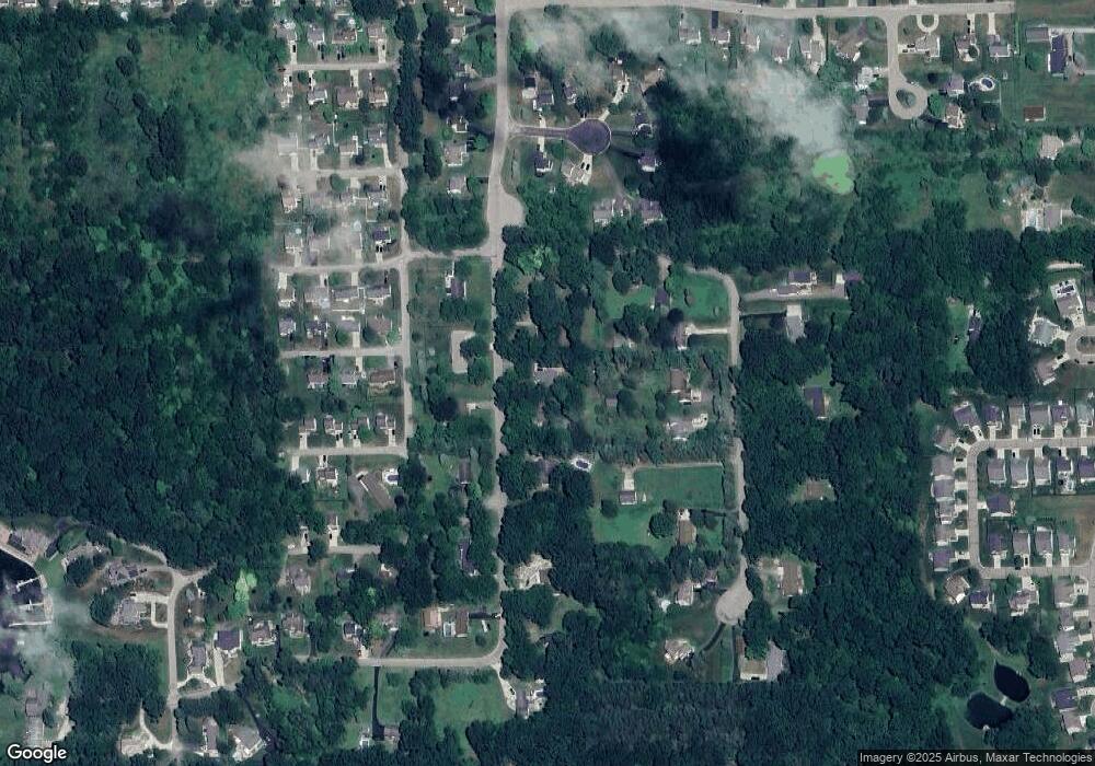
Map
Nearby Homes
- 2653 Ravine Side N
- 2830 Bonny Brook Dr Unit 3
- VACANT LOT Thompson Shore Dr
- 3227 Waverly Woods Ln
- 1570 Princewood Blvd
- 2643 Kerria Dr Unit 65
- 1420 Butler Blvd
- 3040 Bogues View Dr
- 2511 Kerria Dr Unit 42
- 275 Harvard Dr
- 1315 Central Ave
- 571 Cannonade Loop
- 523 Cannonade Loop
- 583 Cannonade Loop
- 475 Cannonade Loop
- 487 Cannonade Loop
- 559 Cannonade Loop
- 499 Cannonade Loop
- The Austin Plan at Broadmoor
- The Charlotte Plan at Broadmoor
- 970 Oakcrest Rd
- 1010 Oakcrest Rd
- 960 Oakcrest Rd
- 1050 Oakcrest Rd
- 1005 Oakcrest Rd
- 983 Oakcrest Rd
- 941 Pinecone Dr
- 1003 Pinecone Dr
- 937 Pinecone Dr
- 1025 Pinecone Dr
- 1029 Oakcrest Rd
- 967 Oakcrest Rd
- 2484 Wellington Dr
- 2588 Castle Rock Ct Unit 12
- 2477 Par Ct
- 2606 Castle Rock Ct Unit 13
- 977 Pinecone Dr
- 2451 Par Ct
- 2472 Wellington Dr
- 930 Oakcrest Rd