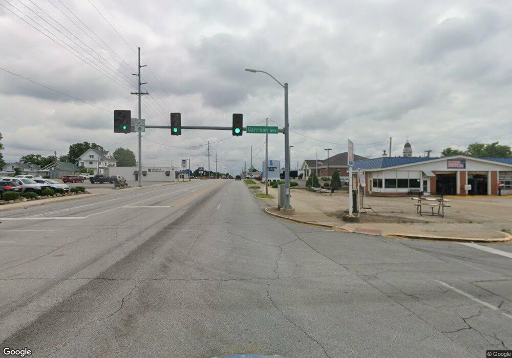
9889 Bluff Rd Carthage, MO 64836
Estimated Value: $74,002 - $170,000
3
Beds
1
Bath
1,228
Sq Ft
$96/Sq Ft
Est. Value
About This Home
This home is located at 9889 Bluff Rd, Carthage, MO 64836 and is currently estimated at $117,334, approximately $95 per square foot. 9889 Bluff Rd is a home with nearby schools including Carthage High School.
Ownership History
Date
Name
Owned For
Owner Type
Purchase Details
Closed on
Aug 28, 2019
Sold by
Mcintosh Steven E
Bought by
Patton Vincent
Current Estimated Value
Purchase Details
Closed on
Jan 26, 2012
Sold by
White Jackie Rae Ann
Bought by
Hallam Joshua Leroy
Purchase Details
Closed on
Jul 24, 2008
Sold by
Arvest Bank
Bought by
Hallam Joshua L
Home Financials for this Owner
Home Financials are based on the most recent Mortgage that was taken out on this home.
Original Mortgage
$26,673
Interest Rate
6.36%
Mortgage Type
Purchase Money Mortgage
Purchase Details
Closed on
Jun 10, 2008
Sold by
Baublitz Bradley Kent
Bought by
Arvest Bank
Home Financials for this Owner
Home Financials are based on the most recent Mortgage that was taken out on this home.
Original Mortgage
$26,673
Interest Rate
6.36%
Mortgage Type
Purchase Money Mortgage
Create a Home Valuation Report for This Property
The Home Valuation Report is an in-depth analysis detailing your home's value as well as a comparison with similar homes in the area
Purchase History
| Date | Buyer | Sale Price | Title Company |
|---|---|---|---|
| Patton Vincent | $1,700 | -- | |
| Hallam Joshua Leroy | -- | None Available | |
| Hallam Joshua L | -- | Abbey | |
| Arvest Bank | $10,000 | None Available |
Source: Public Records
Mortgage History
| Date | Status | Borrower | Loan Amount |
|---|---|---|---|
| Previous Owner | Hallam Joshua L | $26,673 |
Source: Public Records
Tax History Compared to Growth
Tax History
| Year | Tax Paid | Tax Assessment Tax Assessment Total Assessment is a certain percentage of the fair market value that is determined by local assessors to be the total taxable value of land and additions on the property. | Land | Improvement |
|---|---|---|---|---|
| 2025 | $148 | $4,140 | $1,180 | $2,960 |
| 2024 | $148 | $3,880 | $1,180 | $2,700 |
| 2023 | $148 | $3,880 | $1,180 | $2,700 |
| 2022 | $146 | $3,840 | $1,180 | $2,660 |
| 2021 | $139 | $3,840 | $1,180 | $2,660 |
| 2020 | $143 | $3,750 | $1,180 | $2,570 |
| 2019 | $258 | $6,730 | $1,180 | $5,550 |
| 2018 | $222 | $5,800 | $0 | $0 |
| 2017 | $222 | $5,800 | $0 | $0 |
| 2016 | $221 | $5,800 | $0 | $0 |
Source: Public Records
Map
Nearby Homes
- Tract 1 Daisy Rd & Cty Rd 110
- 2285 Quail Rd
- 2199 Skylark Dr
- 1519 County Road 130
- 11884 Destination Ln
- 13813 Cimarron Rd
- Tbd 000 Quail Rd
- 3551 State Highway 37
- 20803xxx Aspen Rd
- 3501 State Highway 37
- 000 State Highway 37
- 3551/3501 State Highway 37
- 4948 Deer Run Loop
- 4900 Apple Rd
- 4955 Deer Run Loop
- 11982 Gaiety Ln
- 6270 County Lane 84
- 1720 E Fir Rd
- 21078 Colt Ln
- 4785 County Lane 55
- 0 County Road 100 Unit 78834
- 0 County Road 100 Unit 78837
- 0 County Road 100 Unit 78838
- 0 County Road 100 Unit 78835
- Tbd County Road 100
- 10017 Blackberry Rd
- 1756 County Lane 103
- 1753 County Lane 103
- 1757 County Lane 103
- 10122 Apple Rd
- 1181 County 95 Loop
- 10520 Buck Rd
- 9223 Blackberry Rd
- 10550 Buck Rd
- 1600 County Lane 105
- 1666 County Lane 105
- 1732 County Lane 105
- 1665 County Lane 105
- 1783 County Lane 90
- 1731 County Lane 105
