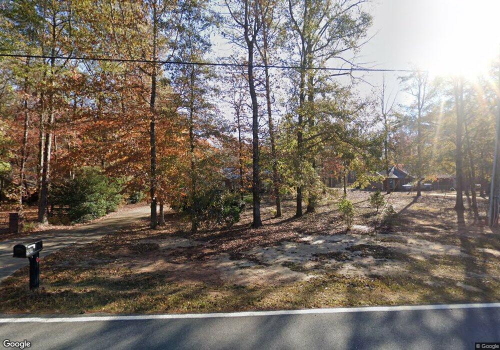
989 Calhoun Rd Hamilton, GA 31811
Estimated Value: $295,000 - $421,000
4
Beds
2
Baths
2,028
Sq Ft
$169/Sq Ft
Est. Value
About This Home
This home is located at 989 Calhoun Rd, Hamilton, GA 31811 and is currently estimated at $342,337, approximately $168 per square foot. 989 Calhoun Rd is a home located in Harris County with nearby schools including Mulberry Creek Elementary School, Harris County Carver Middle School, and Creekside School.
Ownership History
Date
Name
Owned For
Owner Type
Purchase Details
Closed on
Jun 1, 2005
Sold by
Morrison Russell W
Bought by
Ward Belinda Kaye
Current Estimated Value
Home Financials for this Owner
Home Financials are based on the most recent Mortgage that was taken out on this home.
Original Mortgage
$151,920
Outstanding Balance
$77,274
Interest Rate
5.66%
Mortgage Type
New Conventional
Estimated Equity
$265,063
Purchase Details
Closed on
May 22, 2003
Sold by
Mceldoon David
Bought by
Morrison Russell W
Purchase Details
Closed on
Oct 3, 2002
Sold by
Spence O Wayne
Bought by
Mceldoon David
Purchase Details
Closed on
Jul 11, 2001
Bought by
Spence O Wayne
Create a Home Valuation Report for This Property
The Home Valuation Report is an in-depth analysis detailing your home's value as well as a comparison with similar homes in the area
Purchase History
| Date | Buyer | Sale Price | Title Company |
|---|---|---|---|
| Ward Belinda Kaye | $189,900 | -- | |
| Morrison Russell W | $16,900 | -- | |
| Mceldoon David | $16,900 | -- | |
| Spence O Wayne | -- | -- |
Source: Public Records
Mortgage History
| Date | Status | Borrower | Loan Amount |
|---|---|---|---|
| Open | Ward Belinda Kaye | $151,920 |
Source: Public Records
Tax History
| Year | Tax Paid | Tax Assessment Tax Assessment Total Assessment is a certain percentage of the fair market value that is determined by local assessors to be the total taxable value of land and additions on the property. | Land | Improvement |
|---|---|---|---|---|
| 2025 | $2,537 | $98,001 | $7,389 | $90,612 |
| 2024 | $2,360 | $86,878 | $4,977 | $81,901 |
| 2023 | $1,895 | $86,735 | $4,977 | $81,758 |
| 2022 | $2,356 | $86,735 | $4,977 | $81,758 |
| 2021 | $2,221 | $78,817 | $4,977 | $73,840 |
| 2020 | $2,221 | $78,817 | $4,977 | $73,840 |
| 2019 | $2,142 | $78,817 | $4,977 | $73,840 |
| 2018 | $2,186 | $78,817 | $4,977 | $73,840 |
| 2017 | $2,187 | $78,817 | $4,977 | $73,840 |
| 2016 | $1,843 | $72,457 | $4,977 | $67,480 |
| 2015 | $1,846 | $72,457 | $4,977 | $67,480 |
| 2014 | $1,850 | $72,457 | $4,977 | $67,480 |
| 2013 | -- | $75,256 | $7,776 | $67,480 |
Source: Public Records
Map
Nearby Homes
- 00 Mullins Rd
- 0 Hudson Dr Unit 10619818
- 0 Hudson Dr Unit 223658
- 0 Graddick Rd Unit 223256
- 10933 US Highway 27 E
- 13145
- 44 Big Sky Dr
- 321 Mountain Creek Dr
- 0 Mountain Dr Unit Tr 1 8909230
- 350 Mountain Creek Dr
- 362 Williams St
- Lot 2 Silva Dr
- Lot 1 Silva Dr
- Lot 3 Silva Dr
- 1270 Big Sky Dr
- 326 Mobley St
- 0 Deer Ridge Dr Unit 16537430
- 0 Deer Ridge Dr Unit 10566083
- 174 Mountain View Dr
- 316 Mountain View Dr
- 975 Calhoun Rd
- 1007 Calhoun Rd
- 955 Calhoun Rd
- Lot 1 Calhoun Rd
- 917 Calhoun Rd
- 1029 Calhoun Rd
- 1049 Calhoun Rd
- 20 Westbrook Dr
- 893 Calhoun Rd
- 1089 Calhoun Rd
- 885 Calhoun Rd
- 845 Calhoun Rd
- 1035 Calhoun Rd
- 1099 Calhoun Rd
- 49 Calhoun Creek Rd
- 88 Westbrook Dr
- 1125 Calhoun Rd
- 0 Westbrook Dr Unit 7049648
- 805 Calhoun Rd
- 120 Westbrook Dr
