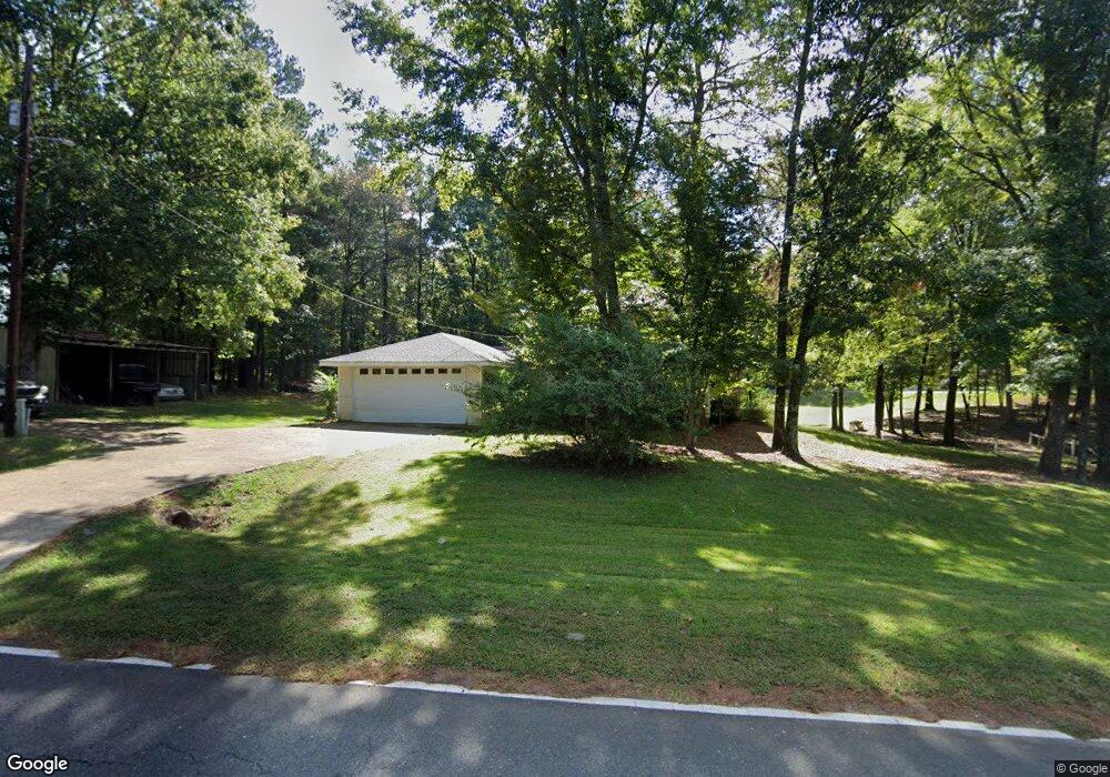
989 Highway 3074 Simsboro, LA 71275
Estimated Value: $176,322 - $492,000
--
Bed
1
Bath
2,236
Sq Ft
$126/Sq Ft
Est. Value
About This Home
This home is located at 989 Highway 3074, Simsboro, LA 71275 and is currently estimated at $282,581, approximately $126 per square foot. 989 Highway 3074 is a home located in Lincoln Parish with nearby schools including Simsboro High School.
Ownership History
Date
Name
Owned For
Owner Type
Purchase Details
Closed on
Jul 25, 2024
Sold by
Payne Sumler and Payne Jacqueline
Bought by
Sumler Julius and Payne Sumler Jacqueline
Current Estimated Value
Home Financials for this Owner
Home Financials are based on the most recent Mortgage that was taken out on this home.
Original Mortgage
$117,012
Outstanding Balance
$113,938
Interest Rate
6.86%
Mortgage Type
FHA
Estimated Equity
$168,643
Create a Home Valuation Report for This Property
The Home Valuation Report is an in-depth analysis detailing your home's value as well as a comparison with similar homes in the area
Home Values in the Area
Average Home Value in this Area
Purchase History
| Date | Buyer | Sale Price | Title Company |
|---|---|---|---|
| Sumler Julius | -- | None Listed On Document |
Source: Public Records
Mortgage History
| Date | Status | Borrower | Loan Amount |
|---|---|---|---|
| Open | Sumler Julius | $117,012 |
Source: Public Records
Tax History Compared to Growth
Tax History
| Year | Tax Paid | Tax Assessment Tax Assessment Total Assessment is a certain percentage of the fair market value that is determined by local assessors to be the total taxable value of land and additions on the property. | Land | Improvement |
|---|---|---|---|---|
| 2024 | $1,045 | $12,906 | $1,562 | $11,344 |
| 2023 | $1,198 | $14,456 | $1,420 | $13,036 |
| 2022 | $1,110 | $14,456 | $1,420 | $13,036 |
| 2021 | $1,098 | $14,457 | $1,420 | $13,037 |
| 2020 | $1,067 | $13,892 | $1,420 | $12,472 |
| 2019 | $1,061 | $13,892 | $1,420 | $12,472 |
| 2018 | $1,037 | $13,892 | $1,420 | $12,472 |
| 2017 | $1,040 | $13,892 | $1,420 | $12,472 |
| 2016 | $1,043 | $0 | $0 | $0 |
| 2015 | $936 | $11,354 | $1,420 | $9,934 |
| 2013 | $1,045 | $12,557 | $1,420 | $11,137 |
Source: Public Records
Map
Nearby Homes
- 0 Louisiana 3074 Unit Tract 1
- 0 Bennett Rd
- 9459 U S 80
- 119 Walnut Creek Rd
- 119 Cove View Rd
- 136 Louisa St
- 136 Carver Ave
- 1021 Rwe Jones Dr
- 1140 Rwe Jones Dr
- 102 Park St Unit 104
- 1207 Martha Dr
- 5325 Louisiana 563
- 0 Best Rd
- 133 Church St
- 583 Main St
- 160 Garr Rd
- 158 Lee St
- 136 Rwe Jones Dr
- 0 Sims Ave
- 104 Clear Springs Dr
- 1267 N Pinetree Rd
- 1041 Highway 3074
- 921 Highway 3074
- 921 Louisiana 3074
- 871 Highway 3074
- 855 Highway 3074
- 203 Marshall Rd
- 208 Marshall Rd
- 201 Marshall Rd
- 791 Highway 3074
- 772 Highway 3074
- 741 Highway 3074
- 739 Highway 3074
- 709 Highway 3074
- 4026 Highway 563
- 4250 Highway 563
- 631 Scott Rd
- 952 N Pinetree Rd
- 141 Joe Rd
- 176 Joe Rd