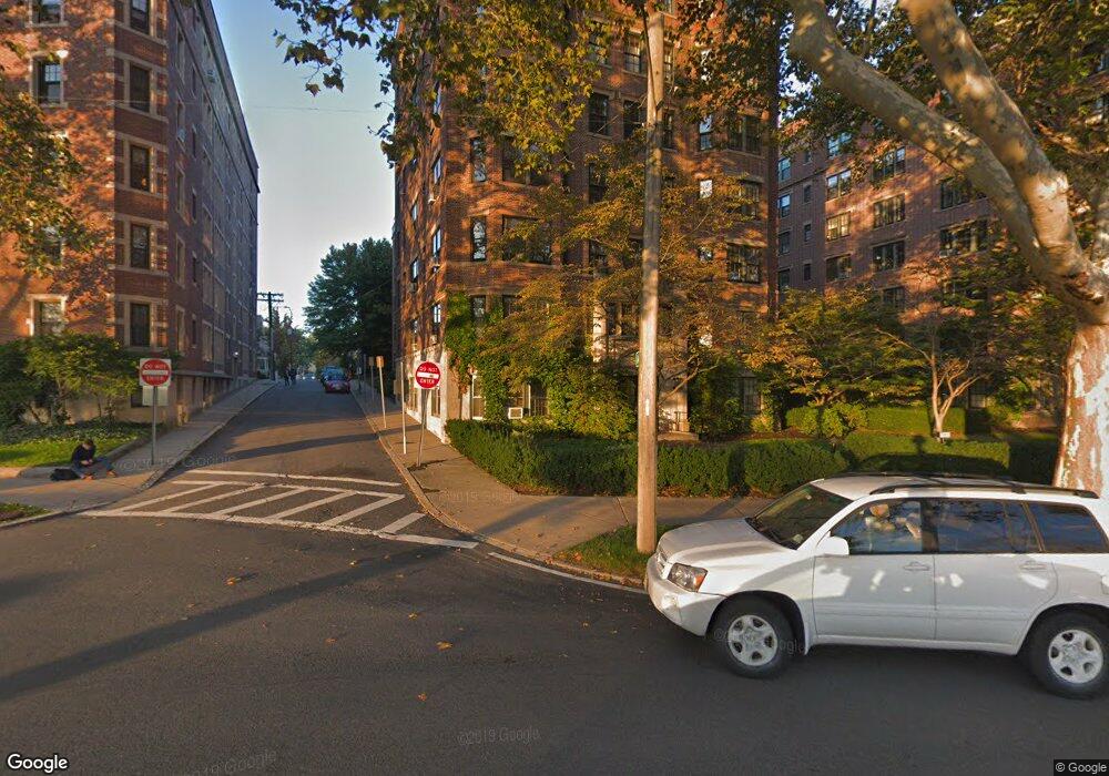
989 Memorial Dr Unit 192 Cambridge, MA 02138
West Cambridge NeighborhoodEstimated Value: $1,396,261 - $1,793,000
2
Beds
2
Baths
1,410
Sq Ft
$1,092/Sq Ft
Est. Value
About This Home
This home is located at 989 Memorial Dr Unit 192, Cambridge, MA 02138 and is currently estimated at $1,539,754, approximately $1,092 per square foot. 989 Memorial Dr Unit 192 is a home located in Middlesex County with nearby schools including St Peter School, Buckingham Browne & Nichols School, and Saint Paul's Choir School.
Ownership History
Date
Name
Owned For
Owner Type
Purchase Details
Closed on
Dec 3, 2012
Sold by
Adams Sallie B
Bought by
Smoyer David B and Smoyer Mary H
Current Estimated Value
Purchase Details
Closed on
Mar 18, 2009
Sold by
Ne N Katz Supplemental and Brooks Elaine R
Bought by
Sharpless Karl Barry and Sharpless Janet Dueser
Purchase Details
Closed on
Aug 12, 1993
Sold by
Cambridge Trust Co and Chapman John F
Bought by
Katz Evelyn R
Create a Home Valuation Report for This Property
The Home Valuation Report is an in-depth analysis detailing your home's value as well as a comparison with similar homes in the area
Home Values in the Area
Average Home Value in this Area
Purchase History
| Date | Buyer | Sale Price | Title Company |
|---|---|---|---|
| Smoyer David B | $887,500 | -- | |
| Sharpless Karl Barry | $795,000 | -- | |
| Katz Evelyn R | $250,000 | -- |
Source: Public Records
Tax History Compared to Growth
Tax History
| Year | Tax Paid | Tax Assessment Tax Assessment Total Assessment is a certain percentage of the fair market value that is determined by local assessors to be the total taxable value of land and additions on the property. | Land | Improvement |
|---|---|---|---|---|
| 2025 | $8,357 | $1,316,000 | $0 | $1,316,000 |
| 2024 | $7,638 | $1,290,200 | $0 | $1,290,200 |
| 2023 | $7,314 | $1,248,200 | $0 | $1,248,200 |
| 2022 | $7,258 | $1,226,000 | $0 | $1,226,000 |
| 2021 | $7,278 | $1,244,100 | $0 | $1,244,100 |
| 2020 | $6,782 | $1,179,500 | $0 | $1,179,500 |
| 2019 | $6,492 | $1,092,900 | $0 | $1,092,900 |
| 2018 | $6,534 | $1,011,400 | $0 | $1,011,400 |
| 2017 | $6,142 | $946,400 | $0 | $946,400 |
| 2016 | $6,783 | $970,400 | $0 | $970,400 |
| 2015 | $6,706 | $857,600 | $0 | $857,600 |
| 2014 | $6,593 | $786,800 | $0 | $786,800 |
Source: Public Records
Map
Nearby Homes
- 988 Memorial Dr Unit 386
- 5 Brewer St Unit 5
- 986 Memorial Dr Unit 404
- 983 Memorial Dr Unit 502
- 984 Memorial Dr Unit 984-503
- 130 Mount Auburn St Unit 108
- 32 Hawthorn St
- 975 Memorial Dr Unit 209
- 975 Memorial Dr Unit 211
- 12 Berkeley St
- 3 Berkeley Place
- 20 Maynard Place
- 1010 Memorial Dr Unit 6G
- 22 Concord Ave Unit 10
- 15 Hubbard Park Rd
- 50 Follen St Unit 505
- 50 Follen St Unit 109
- 48 Hubbard Park Rd
- 44 Garden St
- 153 Brattle St
- 989 Memorial Dr Unit 292
- 989 Memorial Dr Unit G91
- 989 Memorial Dr Unit G90
- 989 Memorial Dr Unit 692
- 989 Memorial Dr Unit 691
- 989 Memorial Dr Unit 592
- 989 Memorial Dr Unit 591
- 989 Memorial Dr Unit 492
- 989 Memorial Dr Unit 491
- 989 Memorial Dr Unit 392
- 989 Memorial Dr Unit 291
- 989 Memorial Dr Unit 382
- 989 Memorial Dr
- 989 Memorial Dr
- 988 Memorial Dr Unit G82
- 988 Memorial Dr
- 988 Memorial Dr Unit 285
- 988 Memorial Dr Unit G81
- 988 Memorial Dr Unit G80
- 988 Memorial Dr Unit 688