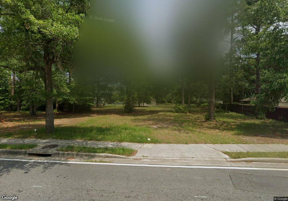
989 Pineland Ave Hinesville, GA 31313
Estimated Value: $187,000 - $205,000
3
Beds
2
Baths
1,452
Sq Ft
$134/Sq Ft
Est. Value
About This Home
This home is located at 989 Pineland Ave, Hinesville, GA 31313 and is currently estimated at $193,888, approximately $133 per square foot. 989 Pineland Ave is a home located in Liberty County with nearby schools including Button Gwinnett Elementary School, Snelson-Golden Middle School, and Bradwell Institute.
Ownership History
Date
Name
Owned For
Owner Type
Purchase Details
Closed on
Feb 29, 2000
Sold by
Sec Housing & Urban
Bought by
Hopkins Elsie
Current Estimated Value
Purchase Details
Closed on
Dec 1, 1998
Sold by
Bank United
Bought by
Sec Housing & Urban
Purchase Details
Closed on
Sep 29, 1995
Bought by
Snyder Ronald P and Snyder Trilby
Purchase Details
Closed on
Jan 14, 1975
Bought by
Pearson Marcus
Create a Home Valuation Report for This Property
The Home Valuation Report is an in-depth analysis detailing your home's value as well as a comparison with similar homes in the area
Home Values in the Area
Average Home Value in this Area
Purchase History
| Date | Buyer | Sale Price | Title Company |
|---|---|---|---|
| Hopkins Elsie | -- | -- | |
| Sec Housing & Urban | -- | -- | |
| Bank United | -- | -- | |
| Snyder Ronald P | $65,500 | -- | |
| Pearson Marcus | $1,000 | -- |
Source: Public Records
Tax History Compared to Growth
Tax History
| Year | Tax Paid | Tax Assessment Tax Assessment Total Assessment is a certain percentage of the fair market value that is determined by local assessors to be the total taxable value of land and additions on the property. | Land | Improvement |
|---|---|---|---|---|
| 2024 | $2,468 | $50,090 | $8,400 | $41,690 |
| 2023 | $2,468 | $45,754 | $8,400 | $37,354 |
| 2022 | $1,825 | $39,023 | $8,400 | $30,623 |
| 2021 | $1,728 | $36,259 | $8,400 | $27,859 |
| 2020 | $1,763 | $36,671 | $8,400 | $28,271 |
| 2019 | $1,770 | $37,084 | $8,400 | $28,684 |
| 2018 | $1,779 | $37,496 | $8,400 | $29,096 |
| 2017 | $1,248 | $37,909 | $8,400 | $29,509 |
| 2016 | $1,732 | $38,322 | $8,400 | $29,922 |
| 2015 | $1,823 | $38,322 | $8,400 | $29,922 |
| 2014 | $1,823 | $39,922 | $8,400 | $31,522 |
| 2013 | -- | $36,670 | $8,400 | $28,270 |
Source: Public Records
Map
Nearby Homes
- 985 Pineland Ave
- 648 Honey Ridge Ln
- 700 Kadi Ln
- 642 Honey Ridge Ln
- 979B Pineland Ave Unit B
- 979B Pineland Ave
- 234 Deerwood Dr
- 1040 Varnedoe St
- 1100 Pineland Ave Unit 5C
- 1100 Pineland Ave Unit 2D
- 253 Glenn Bryant Rd
- 796 Peggy Sue St
- 14.96 Ac Ellie Ln
- 970 Whippoorwill Way
- 214 Whitetail Cir
- 936 Pineland Ave
- 1021 Bacon Rd
- 1036 Live Oak Dr
- 1473 Ben Gay Way
- 995 Pineland Ave
- 702 Westridge Ct
- 704 Westridge Ct
- 987 Pineland Ave
- 706 Westridge Ct Unit n/a
- 706 Westridge Ct
- 657 Honey Ridge Ln
- 655 Honey Ridge Ln
- 994 Pineland Ave
- 992 Pineland Ave
- 708 Westridge Ct
- 653 Honey Ridge Ln
- 996 Pineland Ave
- 710 Westridge Ct
- 0 Westridge Ct Unit 31536
- 0 Westridge Ct Unit 31052
- 0 Westridge Ct Unit 31051
- 0 Westridge Ct Unit 37392
- 0 Westridge Ct
- 13 Westridge Ct
