9890 Browning Rd Gentry, AR 72734
Estimated Value: $413,000 - $549,000
--
Bed
2
Baths
2,641
Sq Ft
$181/Sq Ft
Est. Value
About This Home
This home is located at 9890 Browning Rd, Gentry, AR 72734 and is currently estimated at $477,949, approximately $180 per square foot. 9890 Browning Rd is a home located in Benton County with nearby schools including Gentry Intermediate School, Gentry Primary School, and Gentry Middle School.
Ownership History
Date
Name
Owned For
Owner Type
Purchase Details
Closed on
Apr 6, 2011
Sold by
Duncan Lynnand Kathy
Bought by
Duncan Kelly Lynn
Current Estimated Value
Purchase Details
Closed on
Sep 28, 2009
Sold by
Roberson Michael C
Bought by
Duncan Herbert Lynn and Duncan Katherine Karlene
Purchase Details
Closed on
Mar 8, 1995
Bought by
Stalls Tr
Purchase Details
Closed on
Oct 25, 1984
Bought by
Milligan-Stalls
Purchase Details
Closed on
Aug 31, 1984
Bought by
Brown
Create a Home Valuation Report for This Property
The Home Valuation Report is an in-depth analysis detailing your home's value as well as a comparison with similar homes in the area
Home Values in the Area
Average Home Value in this Area
Purchase History
| Date | Buyer | Sale Price | Title Company |
|---|---|---|---|
| Duncan Kelly Lynn | -- | None Available | |
| Duncan Herbert Lynn | -- | None Available | |
| Stalls Tr | -- | -- | |
| Milligan-Stalls | $60,000 | -- | |
| Brown | -- | -- |
Source: Public Records
Tax History Compared to Growth
Tax History
| Year | Tax Paid | Tax Assessment Tax Assessment Total Assessment is a certain percentage of the fair market value that is determined by local assessors to be the total taxable value of land and additions on the property. | Land | Improvement |
|---|---|---|---|---|
| 2025 | $2,526 | $90,990 | $33,432 | $57,558 |
| 2024 | $2,355 | $90,990 | $33,432 | $57,558 |
| 2023 | $2,243 | $51,930 | $6,960 | $44,970 |
| 2022 | $1,907 | $51,930 | $6,960 | $44,970 |
| 2021 | $1,798 | $51,930 | $6,960 | $44,970 |
| 2020 | $1,696 | $39,000 | $8,560 | $30,440 |
| 2019 | $1,696 | $39,000 | $8,560 | $30,440 |
| 2018 | $1,721 | $39,000 | $8,560 | $30,440 |
| 2017 | $1,630 | $39,000 | $8,560 | $30,440 |
| 2016 | $1,630 | $39,000 | $8,560 | $30,440 |
| 2015 | $1,775 | $35,500 | $5,970 | $29,530 |
| 2014 | $1,425 | $35,500 | $5,970 | $29,530 |
Source: Public Records
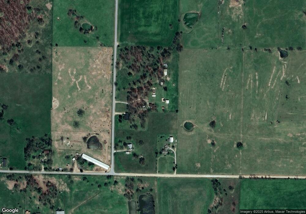
Map
Nearby Homes
- 9586 Browning Rd
- 159 Acres MOL Safari Rd
- 0 Y City Rd Unit 1301343
- 20894 Floyd Moore Rd
- 800 Buffalo Ave
- 19072 Floyd Moore Rd
- 21214 Floyd Moore Rd
- 2630 NW Peterson Rd
- 2620 NW Peterson Rd
- 2610 NW Peterson Rd
- 2600 NW Peterson Rd
- 2540 NW Peterson Rd
- 2530 NW Peterson Rd
- 2520 NW Peterson Rd
- . S Highway 59
- 1400 Shankles Rd
- 0 Peterson Rd Unit 1322195
- 302 W Fulton St
- 513 N Byers Ave
- 18787 Peterson Rd
- 9912 Browning Rd
- 9960 Browning Rd
- 20100 Safari Rd
- 20246 Safari Rd
- 0 Browning Rd
- 20312 Safari Rd
- 19999 Y City Rd
- 10062 Browning Rd
- 10155 Browning Rd
- 10157 Browning Rd
- 9586 Browning Rd
- 20192 Floyd Moore Rd
- 10191 Browning Rd
- 19696 Safari Rd
- 10308 Browning Rd
- 19775 Y City Rd
- 20529 Safari Rd
- 20574 Safari Rd
- 10338 Browning Rd