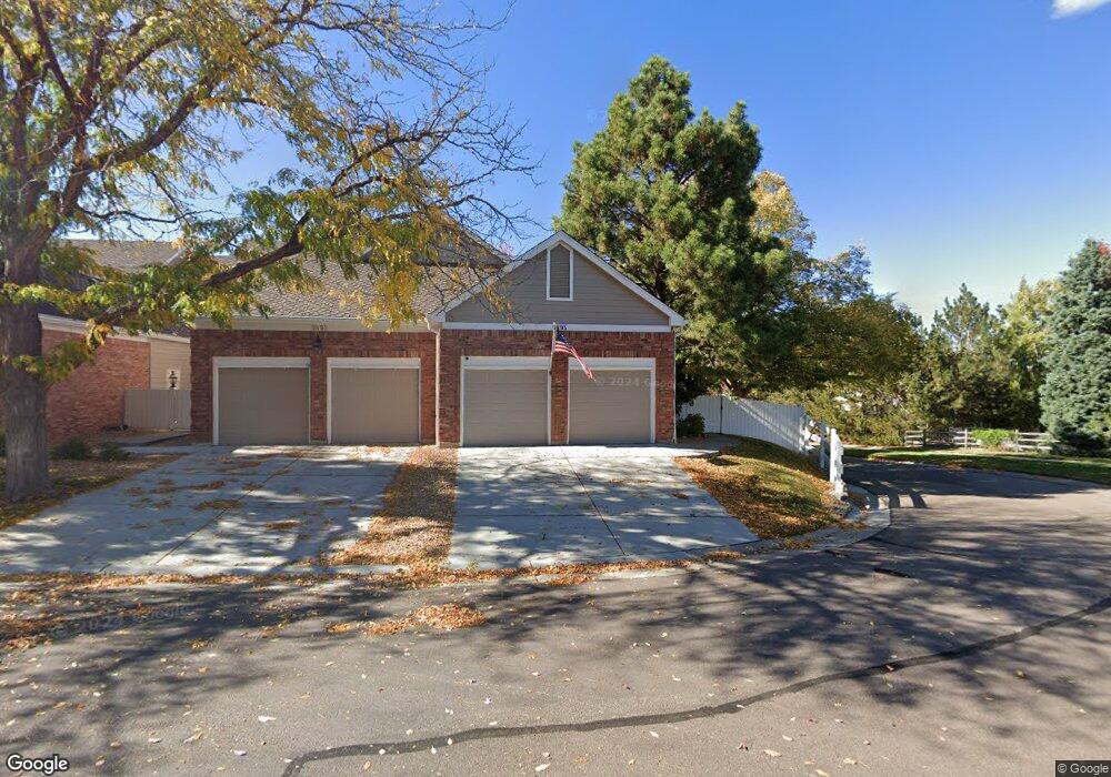
9895 Greensview Cir Lone Tree, CO 80124
Estimated Value: $727,124 - $866,000
1
Bed
2
Baths
2,142
Sq Ft
$363/Sq Ft
Est. Value
About This Home
This home is located at 9895 Greensview Cir, Lone Tree, CO 80124 and is currently estimated at $777,531, approximately $362 per square foot. 9895 Greensview Cir is a home located in Douglas County with nearby schools including Acres Green Elementary School, Cresthill Middle School, and Highlands Ranch High School.
Ownership History
Date
Name
Owned For
Owner Type
Purchase Details
Closed on
May 7, 2024
Sold by
Larson Family Trust
Bought by
Larson Christopher I
Current Estimated Value
Purchase Details
Closed on
May 11, 2016
Sold by
Larson Christopher I
Bought by
Larson Family Trust
Purchase Details
Closed on
Oct 31, 2005
Sold by
Larson Christopher I and Schwartz Marc
Bought by
Larson Christopher I
Home Financials for this Owner
Home Financials are based on the most recent Mortgage that was taken out on this home.
Original Mortgage
$359,650
Interest Rate
5.92%
Mortgage Type
New Conventional
Purchase Details
Closed on
Jan 17, 2005
Sold by
Mcconnell George R and Mcconnell Sandra G
Bought by
Larson Christopher I and Schwartz Marc
Home Financials for this Owner
Home Financials are based on the most recent Mortgage that was taken out on this home.
Original Mortgage
$333,200
Interest Rate
5.37%
Mortgage Type
Unknown
Purchase Details
Closed on
May 28, 2003
Sold by
Morris Richard W and Morris Patricia B
Bought by
Mcconnell George R and Mcconnell Sandra G
Home Financials for this Owner
Home Financials are based on the most recent Mortgage that was taken out on this home.
Original Mortgage
$282,240
Interest Rate
5.79%
Mortgage Type
Unknown
Purchase Details
Closed on
Oct 8, 1997
Sold by
Lawson Frances E
Bought by
Morris Richard W and Morris Patricia B
Home Financials for this Owner
Home Financials are based on the most recent Mortgage that was taken out on this home.
Original Mortgage
$210,000
Interest Rate
7.54%
Purchase Details
Closed on
Oct 3, 1997
Sold by
Lawson Frances E
Bought by
Morris Richard W Et Al Morris Patrici
Home Financials for this Owner
Home Financials are based on the most recent Mortgage that was taken out on this home.
Original Mortgage
$210,000
Interest Rate
7.54%
Purchase Details
Closed on
Sep 3, 1992
Sold by
Summit Inv Inc
Bought by
Lawson Frances E
Purchase Details
Closed on
May 29, 1992
Sold by
Federal Deposit Ins Corp Summit S & L As
Bought by
Summit Inv Inc
Create a Home Valuation Report for This Property
The Home Valuation Report is an in-depth analysis detailing your home's value as well as a comparison with similar homes in the area
Home Values in the Area
Average Home Value in this Area
Purchase History
| Date | Buyer | Sale Price | Title Company |
|---|---|---|---|
| Larson Christopher I | -- | None Listed On Document | |
| Larson Family Trust | -- | None Available | |
| Larson Christopher I | -- | Land Title Guarantee Company | |
| Larson Christopher I | $416,500 | Land Title Guarantee Company | |
| Mcconnell George R | $352,800 | Guardian Title | |
| Morris Richard W | $269,950 | Stewart Title | |
| Morris Richard W Et Al Morris Patrici | $270,000 | -- | |
| Lawson Frances E | $189,000 | -- | |
| Summit Inv Inc | $1,805,000 | -- |
Source: Public Records
Mortgage History
| Date | Status | Borrower | Loan Amount |
|---|---|---|---|
| Previous Owner | Larson Christopher I | $359,650 | |
| Previous Owner | Larson Christopher I | $333,200 | |
| Previous Owner | Mcconnell George R | $282,240 | |
| Previous Owner | Morris Richard W | $210,000 | |
| Closed | Larson Christopher I | $41,600 |
Source: Public Records
Tax History Compared to Growth
Tax History
| Year | Tax Paid | Tax Assessment Tax Assessment Total Assessment is a certain percentage of the fair market value that is determined by local assessors to be the total taxable value of land and additions on the property. | Land | Improvement |
|---|---|---|---|---|
| 2024 | $4,042 | $46,830 | $7,370 | $39,460 |
| 2023 | $4,082 | $46,830 | $7,370 | $39,460 |
| 2022 | $3,544 | $38,970 | $2,090 | $36,880 |
| 2021 | $3,685 | $38,970 | $2,090 | $36,880 |
| 2020 | $3,612 | $39,140 | $2,150 | $36,990 |
| 2019 | $3,624 | $39,140 | $2,150 | $36,990 |
| 2018 | $3,009 | $34,760 | $2,160 | $32,600 |
| 2017 | $3,057 | $34,760 | $2,160 | $32,600 |
| 2016 | $2,963 | $33,010 | $2,390 | $30,620 |
| 2015 | $3,029 | $33,010 | $2,390 | $30,620 |
| 2014 | $2,961 | $30,260 | $2,390 | $27,870 |
Source: Public Records
Map
Nearby Homes
- 9873 Greensview Cir
- 9851 Greensview Cir
- 9838 Cypress Point Cir
- 10884 Lyric St
- 10102 Prestwick Trail
- 9493 Southern Hills Cir Unit A25
- 7855 Arundel Ln
- 8176 Lone Oak Ct
- 7438 Indian Wells Ln
- 9308 Miles Dr Unit 5
- 10225 Dunsford Dr
- 7469 La Quinta Place
- 10205 Bluffmont Dr
- 9412 La Quinta Way
- 9943 Cottoncreek Dr
- 7146 Newhall Dr
- 10031 Town Ridge Ln
- 7404 La Quinta Ln
- 8260 Lodgepole Trail
- 8159 Lodgepole Trail
- 9893 Greensview Cir
- 9891 Greensview Cir
- 9885 Greensview Cir
- 9773 Bay Hill Dr
- 9883 Greensview Cir
- 9765 Bay Hill Dr
- 9821 Greensview Cir
- 9779 Bay Hill Dr
- 9823 Greensview Cir
- 9881 Greensview Cir
- 9825 Greensview Cir
- 9827 Greensview Cir
- 9831 Greensview Cir
- 9785 Bay Hill Dr
- 9835 Firestone Cir
- 9877 Greensview Cir
- 9761 Bay Hill Dr
- 9837 Firestone Cir
- 9823 Firestone Cir
- 9835 Greensview Cir