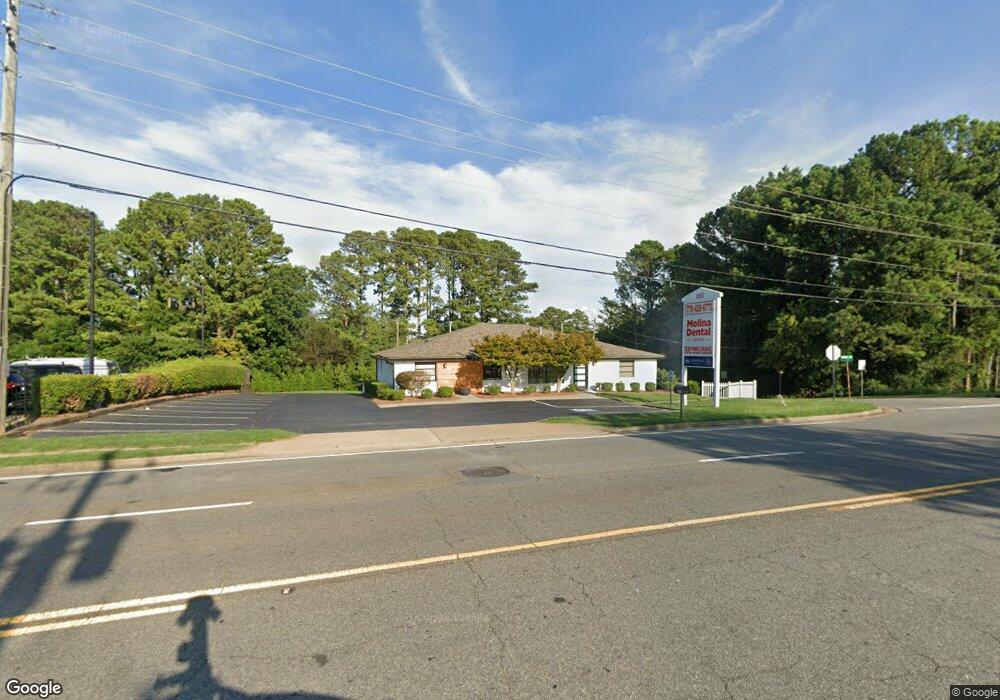
9895 Main St Wood Stock, GA 30188
Estimated Value: $648,061
6
Beds
6
Baths
2,878
Sq Ft
$225/Sq Ft
Est. Value
About This Home
This home is located at 9895 Main St, Wood Stock, GA 30188 and is currently estimated at $648,061, approximately $225 per square foot. 9895 Main St is a home located in Cherokee County with nearby schools including Woodstock Elementary School, Woodstock Middle School, and Woodstock High School.
Ownership History
Date
Name
Owned For
Owner Type
Purchase Details
Closed on
Apr 3, 2020
Sold by
Rutrick Robert E Estate
Bought by
Dani & Izzy Holdings Inc
Current Estimated Value
Home Financials for this Owner
Home Financials are based on the most recent Mortgage that was taken out on this home.
Original Mortgage
$805,000
Outstanding Balance
$678,180
Interest Rate
3.2%
Mortgage Type
Commercial
Estimated Equity
-$30,119
Create a Home Valuation Report for This Property
The Home Valuation Report is an in-depth analysis detailing your home's value as well as a comparison with similar homes in the area
Home Values in the Area
Average Home Value in this Area
Purchase History
| Date | Buyer | Sale Price | Title Company |
|---|---|---|---|
| Dani & Izzy Holdings Inc | $380,000 | -- |
Source: Public Records
Mortgage History
| Date | Status | Borrower | Loan Amount |
|---|---|---|---|
| Open | Dani & Izzy Holdings Inc | $805,000 |
Source: Public Records
Tax History Compared to Growth
Tax History
| Year | Tax Paid | Tax Assessment Tax Assessment Total Assessment is a certain percentage of the fair market value that is determined by local assessors to be the total taxable value of land and additions on the property. | Land | Improvement |
|---|---|---|---|---|
| 2024 | $4,823 | $185,608 | $60,600 | $125,008 |
| 2023 | $4,816 | $185,328 | $60,600 | $124,728 |
| 2022 | $4,866 | $185,128 | $60,600 | $124,528 |
| 2021 | $4,554 | $160,404 | $50,520 | $109,884 |
| 2020 | $2,537 | $89,284 | $50,520 | $38,764 |
| 2019 | $2,547 | $89,640 | $50,520 | $39,120 |
| 2018 | $2,279 | $79,720 | $40,400 | $39,320 |
| 2017 | $2,182 | $187,000 | $35,360 | $39,440 |
| 2016 | $2,182 | $187,400 | $35,360 | $39,600 |
| 2015 | $2,167 | $184,300 | $30,280 | $43,440 |
| 2014 | $2,206 | $187,200 | $30,280 | $44,600 |
Source: Public Records
Map
Nearby Homes
- The Lane B Plan at Grafton Trace
- The Lane C Plan at Grafton Trace
- The Lane A Plan at Grafton Trace
- 0 Highway 92 Unit 7661901
- 1264 Pine Creek Dr
- 1244 Hickory Wood Dr NE
- 1200 Oakwoods Dr
- 540 Stockwood Dr
- 615 Bedford Ct
- 201 Jonquil Spring Rd
- 5021 Rodrick Trace
- 204 Magnolia Creek Way
- 9244 Main St Unit 102
- 646 Brashy St
- 967 S On Main Dr
- 963 S On Main Dr
- 1104 Thomas St
- 1100 Thomas St
- 704 Morgan Dr
- 130 Maple Creek Way
- 135 Timberland St
- 133 Timberland St Unit 2
- 137 Timberland St
- 0 Stockwood Dr
- 0 Stockwood Dr Unit 7374650
- 0 Stockwood Dr Unit 7352074
- 0 Stockwood Dr Unit 7107740
- 0 Stockwood Dr Unit 7059366
- 0 Stockwood Dr Unit 3236031
- 0 Stockwood Dr Unit 3222204
- 0 Stockwood Dr Unit 8544368
- 0 Stockwood Dr Unit 8486257
- 0 Stockwood Dr Unit 8381652
- 0 Stockwood Dr Unit 8357011
- 0 Stockwood Dr Unit 8663525
- 0 Stockwood Dr Unit 7001756
- 0 Stockwood Dr Unit 7012872
- 0 Stockwood Dr Unit 8217783
- 0 Stockwood Dr Unit 7036578
- 0 Stockwood Dr Unit 3108790