9895 Us Highway 12 New Buffalo, MI 49117
Estimated Value: $687,995 - $995,000
4
Beds
1
Bath
2,078
Sq Ft
$405/Sq Ft
Est. Value
About This Home
This home is located at 9895 Us Highway 12, New Buffalo, MI 49117 and is currently estimated at $841,498, approximately $404 per square foot. 9895 Us Highway 12 is a home located in Berrien County with nearby schools including New Buffalo Elementary School, New Buffalo Middle School, and New Buffalo Senior High School.
Ownership History
Date
Name
Owned For
Owner Type
Purchase Details
Closed on
Mar 16, 2004
Sold by
Gonzales Ely and Anzaldua Alma G
Bought by
Gillespie James J and Hanus Kurt M
Current Estimated Value
Home Financials for this Owner
Home Financials are based on the most recent Mortgage that was taken out on this home.
Original Mortgage
$247,000
Interest Rate
5.46%
Mortgage Type
Unknown
Purchase Details
Closed on
Jun 13, 1995
Create a Home Valuation Report for This Property
The Home Valuation Report is an in-depth analysis detailing your home's value as well as a comparison with similar homes in the area
Home Values in the Area
Average Home Value in this Area
Purchase History
| Date | Buyer | Sale Price | Title Company |
|---|---|---|---|
| Gillespie James J | $260,750 | Chicago Title | |
| -- | $134,400 | -- |
Source: Public Records
Mortgage History
| Date | Status | Borrower | Loan Amount |
|---|---|---|---|
| Previous Owner | Gillespie James J | $247,000 |
Source: Public Records
Tax History Compared to Growth
Tax History
| Year | Tax Paid | Tax Assessment Tax Assessment Total Assessment is a certain percentage of the fair market value that is determined by local assessors to be the total taxable value of land and additions on the property. | Land | Improvement |
|---|---|---|---|---|
| 2025 | $3,634 | $304,000 | $0 | $0 |
| 2024 | $2,792 | $304,000 | $0 | $0 |
| 2023 | $2,659 | $301,400 | $0 | $0 |
| 2022 | $2,533 | $318,700 | $0 | $0 |
| 2021 | $3,183 | $326,700 | $309,600 | $17,100 |
| 2020 | $3,092 | $331,400 | $0 | $0 |
| 2019 | $3,080 | $332,400 | $314,000 | $18,400 |
| 2018 | $10,108 | $336,000 | $0 | $0 |
| 2017 | $10,169 | $336,200 | $0 | $0 |
| 2016 | $2,860 | $338,900 | $0 | $0 |
| 2015 | $2,873 | $434,300 | $0 | $0 |
| 2014 | $2,278 | $428,600 | $0 | $0 |
Source: Public Records
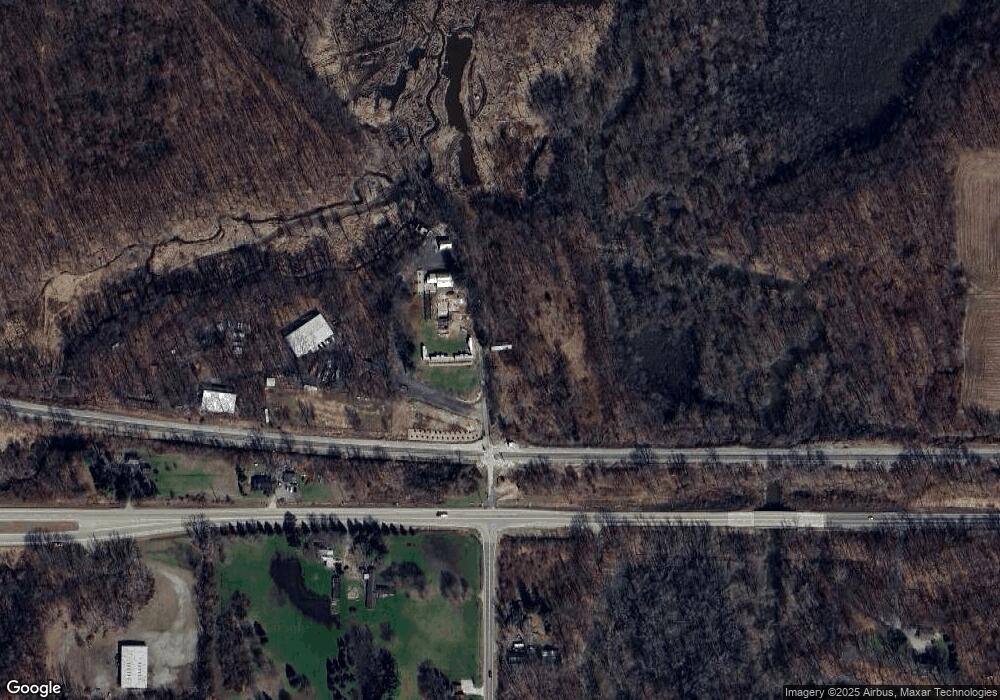
Map
Nearby Homes
- 10172 Us Highway 12
- 18020 Hoder Rd
- 9701 Kruger Rd
- 17567 A Lakeside Rd
- 16800 Riverside Dr
- 9604 9704 Community Hall Rd
- 9695 Community Hall Rd
- Lot 12 Driftwood Cottages
- Lot 8 Driftwood Cottages
- Lot 7 Driftwood Cottages
- Lot 11 Driftwood Cottages
- Lot 13 Driftwood Cottages
- Lot 9 Driftwood Cottages
- Lot 10 Driftwood Cottages
- 10520 Marquette Dr
- Lot 2 Driftwood Path
- Lot 3 Driftwood Path
- Lot 7 Driftwood Path
- 17647 Summerhill Ln Unit 40
- Lot 4 Driftwood Path
- 9516 Us Highway 12
- 9658 Us Highway 12
- 9730 Us Highway 12
- 9895 Us Highway 12
- 9550 Us Highway 12
- 9730 Us Highway 12
- 9658 Us Highway 12
- 9599 Us Highway 12
- 9599 U S 12
- 17625 Hoder Rd
- 9950 Us Highway 12
- 9950 Us Highway 12
- 9950 Us Highway 12
- 17780 Hoder Rd
- 17791 Hoder Rd
- 9950 9950 Us 12
- 17800 Hoder Rd
- 17835 Hoder Rd
- 9905 Us Highway 12
- 9905 Us Highway 12