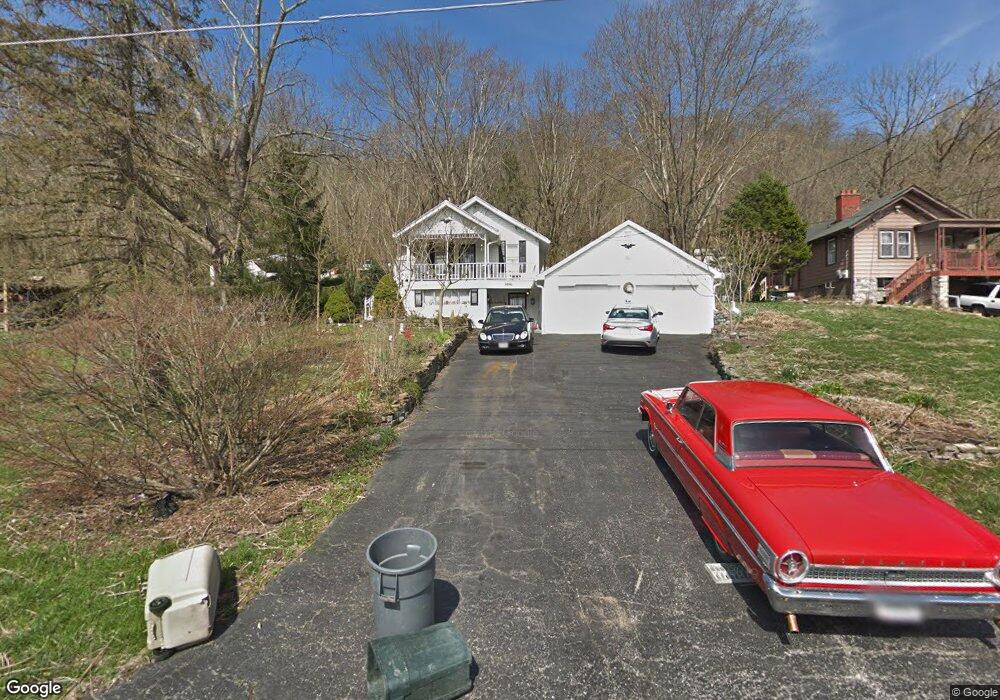
9896 Brower Rd North Bend, OH 45052
Estimated Value: $74,000 - $130,871
Studio
--
Bath
--
Sq Ft
13,721
Sq Ft Lot
About This Home
This home is located at 9896 Brower Rd, North Bend, OH 45052 and is currently estimated at $105,957. 9896 Brower Rd is a home located in Hamilton County with nearby schools including Charles T. Young Elementary School, Taylor Middle School, and Taylor High School.
Ownership History
Date
Name
Owned For
Owner Type
Purchase Details
Closed on
Apr 12, 2022
Sold by
Burnett Group Llc
Bought by
Schnebelt Jeremy D
Current Estimated Value
Home Financials for this Owner
Home Financials are based on the most recent Mortgage that was taken out on this home.
Original Mortgage
$80,000
Outstanding Balance
$75,028
Interest Rate
4.72%
Mortgage Type
New Conventional
Estimated Equity
$30,929
Purchase Details
Closed on
Mar 10, 2022
Sold by
Glacken Marvin A Tr
Bought by
Burnett Group Llc
Home Financials for this Owner
Home Financials are based on the most recent Mortgage that was taken out on this home.
Original Mortgage
$80,000
Outstanding Balance
$75,028
Interest Rate
4.72%
Mortgage Type
New Conventional
Estimated Equity
$30,929
Create a Home Valuation Report for This Property
The Home Valuation Report is an in-depth analysis detailing your home's value as well as a comparison with similar homes in the area
Home Values in the Area
Average Home Value in this Area
Purchase History
| Date | Buyer | Sale Price | Title Company |
|---|---|---|---|
| Schnebelt Jeremy D | $80,000 | Fingerman Debra M | |
| Burnett Group Llc | $60,000 | -- | |
| Burnett Group Llc | $60,000 | Fingerman Debra M |
Source: Public Records
Mortgage History
| Date | Status | Borrower | Loan Amount |
|---|---|---|---|
| Open | Schnebelt Jeremy D | $80,000 | |
| Closed | Burnett Group Llc | -- |
Source: Public Records
Tax History
| Year | Tax Paid | Tax Assessment Tax Assessment Total Assessment is a certain percentage of the fair market value that is determined by local assessors to be the total taxable value of land and additions on the property. | Land | Improvement |
|---|---|---|---|---|
| 2025 | $387 | $6,906 | $1,985 | $4,921 |
| 2023 | $350 | $6,906 | $1,985 | $4,921 |
| 2022 | $444 | $6,966 | $1,971 | $4,995 |
| 2021 | $441 | $6,966 | $1,971 | $4,995 |
| 2020 | $434 | $6,966 | $1,971 | $4,995 |
| 2019 | $398 | $5,853 | $1,656 | $4,197 |
| 2018 | $383 | $5,853 | $1,656 | $4,197 |
| 2017 | $366 | $5,853 | $1,656 | $4,197 |
| 2016 | $312 | $5,037 | $1,771 | $3,266 |
| 2015 | $312 | $5,037 | $1,771 | $3,266 |
| 2014 | $314 | $5,037 | $1,771 | $3,266 |
| 2013 | $289 | $4,708 | $1,656 | $3,052 |
Source: Public Records
Map
Nearby Homes
- 2545 Cliff Rd
- 9629 Mount Nebo Rd
- 9568 Mount Nebo Rd
- 1540 Autumn Ridge Dr
- 1522 Autumn Ridge Dr
- 1759 Barons Cove
- 1226 Breckenridge Ln
- 1218 Breckenridge Ln
- TBD Do Not Use
- 101 E State Rd
- 22 Skidmore St
- 1697 Bingham Cir
- 104 W Laird St
- 122 Spring St
- 221 N Miami Ave
- 1083 Breckenridge Ln
- 550 Aston View Ln
- 311 N Miami Ave
- 803 N Bend Rd
- 2313 John James Ct
Your Personal Tour Guide
Ask me questions while you tour the home.