9897 Wheat Rd New Park, PA 17352
Estimated Value: $377,000 - $494,000
5
Beds
3
Baths
2,548
Sq Ft
$174/Sq Ft
Est. Value
About This Home
This home is located at 9897 Wheat Rd, New Park, PA 17352 and is currently estimated at $443,760, approximately $174 per square foot. 9897 Wheat Rd is a home located in York County with nearby schools including South Eastern Intermediate School, South Eastern Middle School, and Kennard-Dale High School.
Ownership History
Date
Name
Owned For
Owner Type
Purchase Details
Closed on
Mar 1, 2007
Sold by
Shinsky John and Shinsky Karyn
Bought by
Shinsky John
Current Estimated Value
Home Financials for this Owner
Home Financials are based on the most recent Mortgage that was taken out on this home.
Original Mortgage
$191,300
Outstanding Balance
$115,664
Interest Rate
6.24%
Mortgage Type
New Conventional
Estimated Equity
$328,096
Purchase Details
Closed on
Mar 31, 2000
Sold by
Crone Richard N and Crone Teresa Mcminn
Bought by
Shinsky John and Shinsky Karyn
Home Financials for this Owner
Home Financials are based on the most recent Mortgage that was taken out on this home.
Original Mortgage
$131,900
Interest Rate
8.4%
Create a Home Valuation Report for This Property
The Home Valuation Report is an in-depth analysis detailing your home's value as well as a comparison with similar homes in the area
Home Values in the Area
Average Home Value in this Area
Purchase History
| Date | Buyer | Sale Price | Title Company |
|---|---|---|---|
| Shinsky John | -- | Title Source Inc | |
| Shinsky John | $164,900 | -- |
Source: Public Records
Mortgage History
| Date | Status | Borrower | Loan Amount |
|---|---|---|---|
| Open | Shinsky John | $191,300 | |
| Closed | Shinsky John | $131,900 |
Source: Public Records
Tax History Compared to Growth
Tax History
| Year | Tax Paid | Tax Assessment Tax Assessment Total Assessment is a certain percentage of the fair market value that is determined by local assessors to be the total taxable value of land and additions on the property. | Land | Improvement |
|---|---|---|---|---|
| 2025 | $7,023 | $232,920 | $58,810 | $174,110 |
| 2024 | $6,988 | $232,920 | $58,810 | $174,110 |
| 2023 | $6,988 | $232,920 | $58,810 | $174,110 |
| 2022 | $6,988 | $232,920 | $58,810 | $174,110 |
| 2021 | $6,729 | $232,920 | $58,810 | $174,110 |
| 2020 | $6,729 | $232,920 | $58,810 | $174,110 |
| 2019 | $6,706 | $232,920 | $58,810 | $174,110 |
| 2018 | $6,706 | $232,920 | $58,810 | $174,110 |
| 2017 | $6,692 | $232,920 | $58,810 | $174,110 |
| 2016 | $0 | $232,920 | $58,810 | $174,110 |
| 2015 | -- | $232,920 | $58,810 | $174,110 |
| 2014 | -- | $232,920 | $58,810 | $174,110 |
Source: Public Records
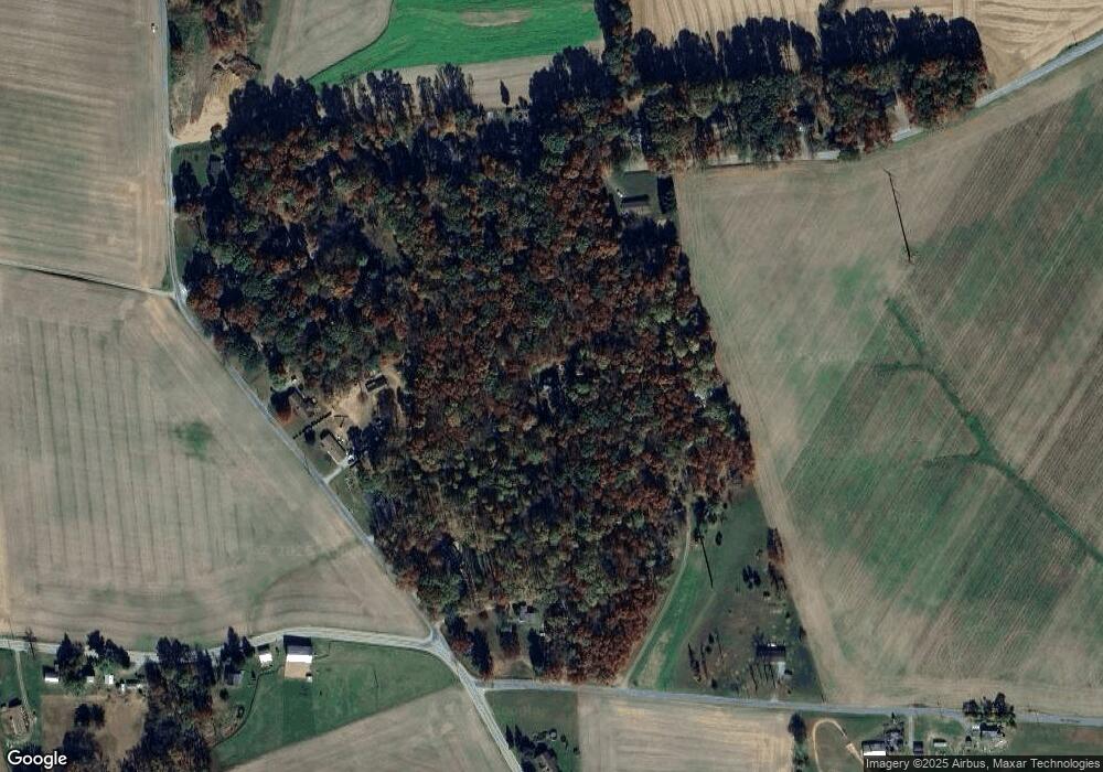
Map
Nearby Homes
- 9377 Hickory Rd
- 15792 Cross Mill Rd
- 14292 Kilgore Rd
- 18183 Piedmont Rd
- 18010 Dave Anne Cir
- 14754 Lowe Rd
- 140 Lantern Ln
- 370 High Rock Rd
- 14639 Hyson School Rd
- 200 Patterson Dr Unit 52
- 10 Black Oak Ct
- 180 Patterson Dr Unit 50
- 119 Edie Cir
- 170 Patterson Dr Unit 49
- 160 Patterson Dr Unit 48
- 515 Log House Rd Unit 119
- 150 Patterson Dr Unit 47
- 2 S Main St
- 103 Hershey Cir
- 13 Baneberry St
- 9706 Manifold Rd
- 9644 Manifold Rd
- 16755 Edgar Woods Rd
- 16797 Edgar Woods Rd
- 9800 Manifold Rd
- 9606 Manifold Rd
- 16719 Edgar Woods Rd
- 16695 Edgar Woods Rd
- 16835 Edgar Woods Rd
- 9739 Manifold Rd
- 9695 Manifold Rd
- 9659 Manifold Rd
- 9659 Manifold School Rd
- 9843 Manifold Rd
- 10003 Wheat Rd
- 16597 Edgar Woods Rd
- 10029 Blue Ball Rd
- 9893 Manifold Rd
- 9893 Manifold School Rd
- 16547 Wood Rd