989A Dennis Station Rd Eatonton, GA 31024
Estimated Value: $703,000 - $1,115,000
--
Bed
--
Bath
2,698
Sq Ft
$323/Sq Ft
Est. Value
About This Home
This home is located at 989A Dennis Station Rd, Eatonton, GA 31024 and is currently estimated at $870,333, approximately $322 per square foot. 989A Dennis Station Rd is a home with nearby schools including Putnam County Primary School, Putnam County Elementary School, and Putnam County Middle School.
Ownership History
Date
Name
Owned For
Owner Type
Purchase Details
Closed on
Dec 30, 2017
Sold by
Schlenk Philip M
Bought by
Schlenk Philip M and Strickland Mary Kay
Current Estimated Value
Purchase Details
Closed on
Oct 4, 2017
Sold by
Grubbs Dorsey E
Bought by
Schlenk Philip M
Home Financials for this Owner
Home Financials are based on the most recent Mortgage that was taken out on this home.
Original Mortgage
$79,050
Interest Rate
3.78%
Mortgage Type
Unknown
Purchase Details
Closed on
Aug 28, 2003
Sold by
Grubbs Paul
Bought by
Grubbs Dorsey
Create a Home Valuation Report for This Property
The Home Valuation Report is an in-depth analysis detailing your home's value as well as a comparison with similar homes in the area
Home Values in the Area
Average Home Value in this Area
Purchase History
| Date | Buyer | Sale Price | Title Company |
|---|---|---|---|
| Schlenk Philip M | -- | -- | |
| Schlenk Philip M | $93,000 | -- | |
| Grubbs Dorsey | -- | -- |
Source: Public Records
Mortgage History
| Date | Status | Borrower | Loan Amount |
|---|---|---|---|
| Previous Owner | Schlenk Philip M | $79,050 |
Source: Public Records
Tax History Compared to Growth
Tax History
| Year | Tax Paid | Tax Assessment Tax Assessment Total Assessment is a certain percentage of the fair market value that is determined by local assessors to be the total taxable value of land and additions on the property. | Land | Improvement |
|---|---|---|---|---|
| 2024 | $5,796 | $346,483 | $0 | $346,483 |
| 2023 | $5,796 | $350,393 | $0 | $350,393 |
| 2022 | $4,560 | $227,125 | $0 | $227,125 |
| 2021 | $4,549 | $199,645 | $0 | $199,645 |
| 2020 | $3,899 | $160,909 | $0 | $160,909 |
| 2019 | $358 | $14,814 | $0 | $14,814 |
| 2018 | $472 | $18,880 | $0 | $18,880 |
| 2017 | $426 | $18,880 | $0 | $18,880 |
| 2016 | $426 | $18,880 | $0 | $18,880 |
| 2015 | $411 | $18,880 | $0 | $18,881 |
| 2014 | -- | $18,881 | $0 | $18,881 |
Source: Public Records
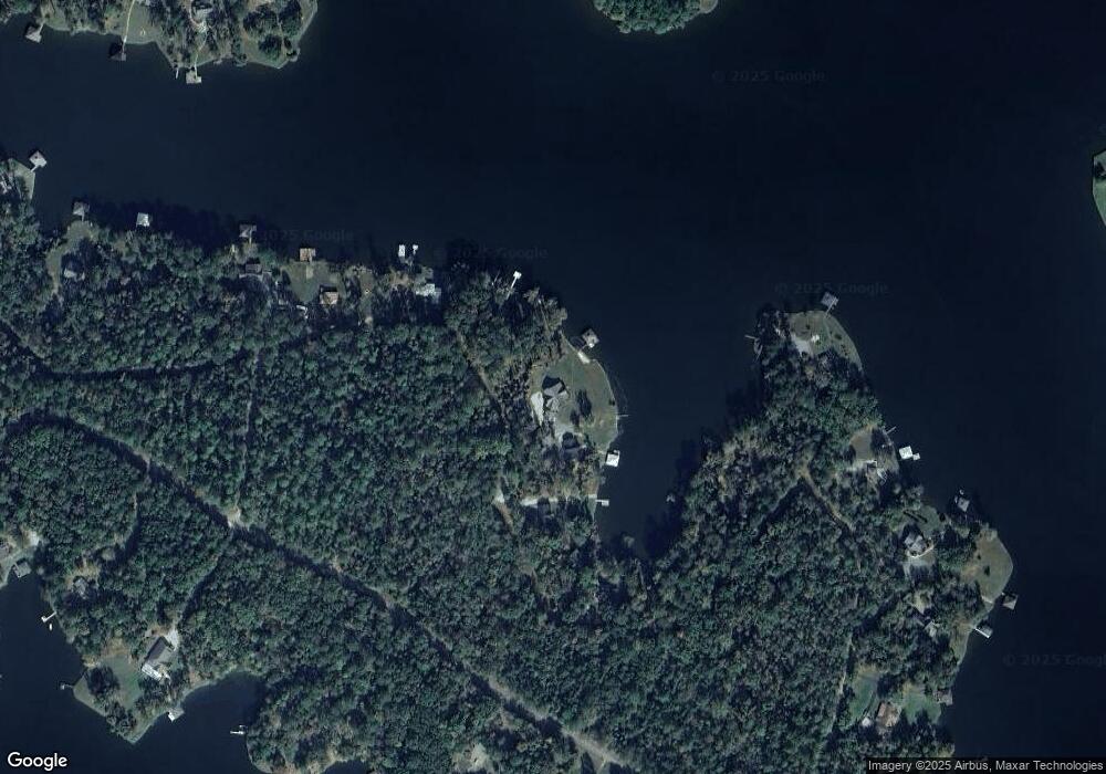
Map
Nearby Homes
- 1005 Dennis Station Rd
- Lot 3 A Humber Ferry Rd
- 151 Lake Dr NW
- 108 Village Way
- 126 Bluegill Rd
- 231C Little Rd NW
- LOT 173 Shoreline Ct
- LOT 172 Shoreline Ct
- 168 Stewart Dr NW
- 125 Little Rd NW
- 122 Merry Ct NW
- 169 Admiralty Way NW
- 186 Merry Dr NW
- 124 Cape Harbour Dr NW
- 212 Admiralty Way
- 156 Merry Dr NW
- 109 Misty Ln NW
- 110 Simmons Ln NW
- 217A Bluegill Rd
- 111 Southshore Rd
- 989 Dennis Station Rd
- 987 Dennis Station Rd
- 991 Dennis Station Rd
- 130 Bass Rd SW
- 1007 Dennis Station Rd
- 983 Dennis Station Rd SW
- 1009 Dennis Station Rd
- 126 Bass Rd SW
- 164 Bass Rd SW
- 156 Bass Rd SW
- 138 Bass Rd SW
- 973 Dennis Station Rd
- 996 Dennis Station Rd
- 111 Bagley Dr
- 122 Bass Rd SW
- 965 Dennis Station Rd
- 1002 Dennis Station Rd
- 110 Bagley Dr
- 1004 Dennis Station Rd
- 122 Bass Ln