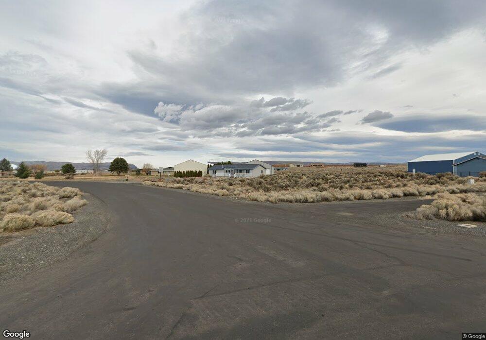
99 Airport Way N Mattawa, WA 99349
Estimated Value: $441,000 - $852,932
3
Beds
2
Baths
1,470
Sq Ft
$402/Sq Ft
Est. Value
About This Home
This home is located at 99 Airport Way N, Mattawa, WA 99349 and is currently estimated at $590,483, approximately $401 per square foot. 99 Airport Way N is a home located in Grant County with nearby schools including Wahluke High School.
Ownership History
Date
Name
Owned For
Owner Type
Purchase Details
Closed on
Jul 5, 2013
Sold by
Hobbs Broda Beverly L
Bought by
Broda Kenneth F
Current Estimated Value
Home Financials for this Owner
Home Financials are based on the most recent Mortgage that was taken out on this home.
Original Mortgage
$170,000
Outstanding Balance
$122,530
Interest Rate
3.79%
Mortgage Type
New Conventional
Estimated Equity
$467,953
Purchase Details
Closed on
Aug 23, 2011
Sold by
Wells Raymond L and Wells Marjorie A
Bought by
Broda Kenneth F and Hobbs Broda Beverly L
Home Financials for this Owner
Home Financials are based on the most recent Mortgage that was taken out on this home.
Original Mortgage
$185,000
Interest Rate
4.48%
Mortgage Type
Seller Take Back
Create a Home Valuation Report for This Property
The Home Valuation Report is an in-depth analysis detailing your home's value as well as a comparison with similar homes in the area
Home Values in the Area
Average Home Value in this Area
Purchase History
| Date | Buyer | Sale Price | Title Company |
|---|---|---|---|
| Broda Kenneth F | -- | Stewart Title | |
| Broda Kenneth F | $290,850 | Grant County Title |
Source: Public Records
Mortgage History
| Date | Status | Borrower | Loan Amount |
|---|---|---|---|
| Open | Broda Kenneth F | $170,000 | |
| Closed | Broda Kenneth F | $185,000 |
Source: Public Records
Tax History Compared to Growth
Tax History
| Year | Tax Paid | Tax Assessment Tax Assessment Total Assessment is a certain percentage of the fair market value that is determined by local assessors to be the total taxable value of land and additions on the property. | Land | Improvement |
|---|---|---|---|---|
| 2025 | $3,080 | $314,753 | -- | -- |
| 2024 | $3,022 | $314,753 | $100,500 | $214,253 |
| 2023 | $2,462 | $311,730 | $49,250 | $262,480 |
| 2022 | $3,347 | $311,730 | $49,250 | $262,480 |
| 2021 | $2,176 | $311,730 | $49,250 | $262,480 |
| 2020 | $2,231 | $195,665 | $49,250 | $146,415 |
| 2019 | $1,877 | $160,685 | $35,250 | $125,435 |
| 2018 | $2,027 | $157,915 | $35,250 | $122,665 |
| 2017 | $1,901 | $157,915 | $35,250 | $122,665 |
| 2016 | $1,906 | $158,825 | $28,200 | $130,625 |
| 2013 | -- | $173,670 | $35,250 | $138,420 |
Source: Public Records
Map
Nearby Homes
- 113 Airport Way N Unit 3
- 206 Cherry Ln W
- 204 Cherry Ln W
- 227 Sunshine Cir S
- 449 Airport Way SW
- 447 Airport Way SW
- 453 Airport Way SW
- 412 Apple Place SW
- 313 Airport Way SW
- 304 Airport Way SW
- 101 Wren Loop
- 310 Buttercup Ln SW
- 334 Rainbow Place W
- 344 Rainbow Place W
- 205 Fairway Place S
- 206 Moon River View
- 208 Moon River View SW
- 207 Clayton Place SW
- 308 Spring Cir
- 509B Clubhouse Way Unit A
- 103 Airport Way SW
- 101 Desert Aire Place S
- 101 Airport Way SW
- 101 Desert Aire Place SW
- 101 Airport Way SW
- 103 Airport Way N
- 107 Airport Way SW
- 109 Airport Way SW
- 109 Airport Way N
- 401 Date Place W
- 401 Date Place W
- 401 Date Place SW
- 109 Desert Aire Place SW
- 101 Sunshine Cir S
- 101 Sunshine Cir SW
- 103 Yucca Place SW
- 103 Yucca Place S
- 105 Yucca Place SW
- 402 Date Place W
- 119 Airport Way N