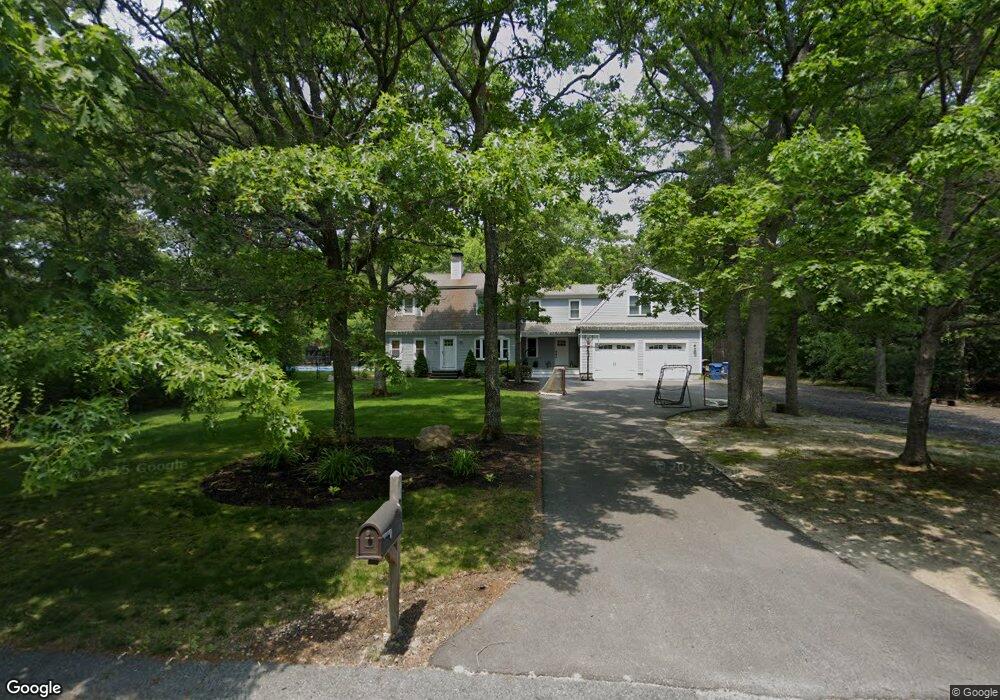
99 Bournehurst Dr Plymouth, MA 02360
Estimated Value: $653,000 - $778,000
3
Beds
3
Baths
2,474
Sq Ft
$294/Sq Ft
Est. Value
About This Home
This home is located at 99 Bournehurst Dr, Plymouth, MA 02360 and is currently estimated at $726,281, approximately $293 per square foot. 99 Bournehurst Dr is a home located in Plymouth County with nearby schools including South Elementary School, Plymouth South Middle School, and Plymouth South High School.
Ownership History
Date
Name
Owned For
Owner Type
Purchase Details
Closed on
Dec 26, 2006
Sold by
Cosgrove Lois S
Bought by
Berriault Bryan T
Current Estimated Value
Create a Home Valuation Report for This Property
The Home Valuation Report is an in-depth analysis detailing your home's value as well as a comparison with similar homes in the area
Home Values in the Area
Average Home Value in this Area
Purchase History
| Date | Buyer | Sale Price | Title Company |
|---|---|---|---|
| Berriault Bryan T | $300,000 | -- |
Source: Public Records
Mortgage History
| Date | Status | Borrower | Loan Amount |
|---|---|---|---|
| Open | Berriault Bryan T | $201,000 | |
| Closed | Berriault Bryan T | $205,000 |
Source: Public Records
Tax History Compared to Growth
Tax History
| Year | Tax Paid | Tax Assessment Tax Assessment Total Assessment is a certain percentage of the fair market value that is determined by local assessors to be the total taxable value of land and additions on the property. | Land | Improvement |
|---|---|---|---|---|
| 2025 | $8,096 | $638,000 | $212,600 | $425,400 |
| 2024 | $7,681 | $596,800 | $208,600 | $388,200 |
| 2023 | $7,553 | $550,900 | $184,600 | $366,300 |
| 2022 | $6,765 | $438,400 | $167,800 | $270,600 |
| 2021 | $6,501 | $402,300 | $167,800 | $234,500 |
| 2020 | $6,478 | $396,200 | $163,800 | $232,400 |
| 2019 | $6,320 | $382,100 | $147,800 | $234,300 |
| 2018 | $6,075 | $369,100 | $137,800 | $231,300 |
| 2017 | $5,660 | $341,400 | $137,800 | $203,600 |
| 2016 | $4,294 | $263,900 | $127,800 | $136,100 |
| 2015 | $4,120 | $265,100 | $127,800 | $137,300 |
| 2014 | $3,907 | $258,200 | $127,800 | $130,400 |
Source: Public Records
Map
Nearby Homes
- 8 Cabot Cir
- 756 Bourne Rd
- 32 Rickey Ln
- 119 Lake Ave
- 167 Park Ave
- 810 Head of The Bay Rd
- 47 Lake Dr
- 110 Packard St
- 13 Hideaway Village Unit G
- 9 Hideaway Rd Unit F
- 11 Thompson Rd Unit A
- 47 Mayflower Way
- 32 Lake View Blvd
- 27 Baker Ln Unit 27
- 901 Head of The Bay Rd
- 118 Puritan Ave
- 4 Park Cir
- 19 Milford St
- 23 Pine Ridge Rd
- 14 Buttonwood Ln
- 98 Bournehurst Dr
- 107 Bournehurst Dr
- 87 Bournehurst Dr
- 104 Bournehurst Dr
- 86 Bournehurst Dr
- 115 Bournehurst Dr
- 114 Bournehurst Dr
- 195 Bournehurst Dr
- 78 Bournehurst Dr
- 185 Bournehurst Dr
- 125 Bournehurst Dr
- 203 Bournehurst Dr
- 122 Bournehurst Dr
- 175 Bournehurst Dr
- 73 Bournehurst Dr
- 211 Bournehurst Dr
- 70 Bournehurst Dr
- 151 Bournehurst Dr
- 145 Bournehurst Dr
- 128 Bournehurst Dr