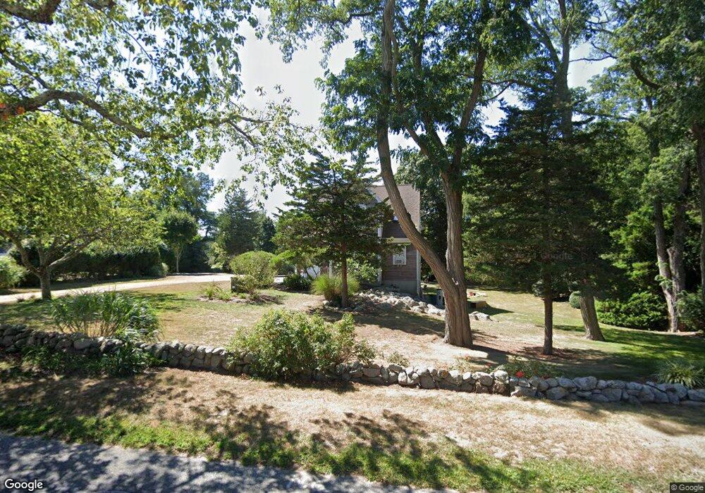
99 Bridge St Dennis, MA 2638
East Dennis NeighborhoodEstimated Value: $1,133,751 - $2,159,000
2
Beds
2
Baths
1,041
Sq Ft
$1,480/Sq Ft
Est. Value
About This Home
This home is located at 99 Bridge St, Dennis, MA 2638 and is currently estimated at $1,540,938, approximately $1,480 per square foot. 99 Bridge St is a home located in Barnstable County with nearby schools including Dennis-Yarmouth Regional High School and Latham School.
Ownership History
Date
Name
Owned For
Owner Type
Purchase Details
Closed on
Nov 22, 2024
Sold by
Dubin Ira
Bought by
Ira Dubin Lt and Dubin
Current Estimated Value
Purchase Details
Closed on
Apr 24, 1985
Bought by
Dubin Ira
Create a Home Valuation Report for This Property
The Home Valuation Report is an in-depth analysis detailing your home's value as well as a comparison with similar homes in the area
Home Values in the Area
Average Home Value in this Area
Purchase History
| Date | Buyer | Sale Price | Title Company |
|---|---|---|---|
| Ira Dubin Lt | -- | None Available | |
| Ira Dubin Lt | -- | None Available | |
| Ira Dubin Lt | -- | None Available | |
| Ira Dubin Lt | -- | None Available | |
| Dubin Ira | -- | -- | |
| Dubin Ira | -- | -- |
Source: Public Records
Mortgage History
| Date | Status | Borrower | Loan Amount |
|---|---|---|---|
| Previous Owner | Dubin Ira | $100,000 |
Source: Public Records
Tax History
| Year | Tax Paid | Tax Assessment Tax Assessment Total Assessment is a certain percentage of the fair market value that is determined by local assessors to be the total taxable value of land and additions on the property. | Land | Improvement |
|---|---|---|---|---|
| 2025 | $4,395 | $1,015,000 | $693,800 | $321,200 |
| 2024 | $3,804 | $866,600 | $556,000 | $310,600 |
| 2023 | $3,697 | $791,600 | $505,400 | $286,200 |
| 2022 | $3,367 | $601,300 | $400,700 | $200,600 |
| 2021 | $3,081 | $510,900 | $339,200 | $171,700 |
| 2020 | $2,939 | $481,800 | $339,200 | $142,600 |
| 2019 | $4,072 | $659,900 | $525,200 | $134,700 |
| 2018 | $4,014 | $633,100 | $499,900 | $133,200 |
| 2017 | $3,986 | $648,100 | $499,900 | $148,200 |
| 2016 | $4,301 | $658,600 | $533,300 | $125,300 |
| 2015 | $4,215 | $658,600 | $533,300 | $125,300 |
| 2014 | $4,314 | $679,400 | $549,900 | $129,500 |
Source: Public Records
Map
Nearby Homes
- 1376 Bridge St Unit 16
- 10 Shiverick Rd
- 1706 Massachusetts 6a Unit 18
- 1706 Route 6a Unit 18
- 102 Prince Way
- 40 Harbor Rd
- 31 High Head Rd
- 34 Pleasant St Unit 3
- 239 Paddocks Path
- 92 Whiffletree Ave
- 149 Greenland Cir
- 102 Wildwood Rd
- 9 Split Rock Rd
- 930 Old Bass River Rd
- 32 Captain Walsh Dr
- 36 Island St
- 59 Hope Ln
- 19 Deacon Joseph Ln
- 35 Crown Grant Dr
- 645 Main St Back Lot
- 78 Bridge St
- 99 Brant Rd
- 200 Sesuit Neck Rd
- 194 Sesuit Neck Rd
- 107 Bridge St
- 188 Sesuit Neck Rd
- 103 Bridge St
- 182 Sesuit Neck Rd
- 91 Brant Rd
- 282 Sesuit Neck Rd
- 238 Sesuit Neck Rd
- 270 Sesuit Neck Rd
- 212 Sesuit Neck Rd
- 209 Sesuit Neck Rd
- 81 Bridge St
- 224 Sesuit Neck Rd
- 115 Bridge St
- 108 Bridge St
- 10 Frog Tree Ln
- 14 Frog Tree Ln
Your Personal Tour Guide
Ask me questions while you tour the home.