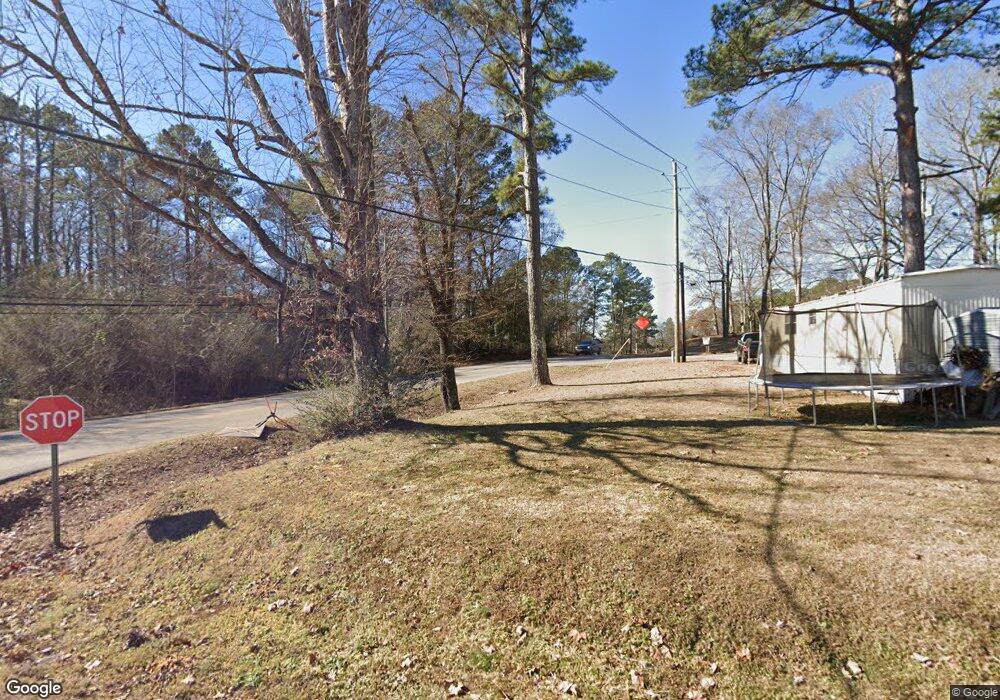
99 Carter Ln Alabaster, AL 35007
Estimated Value: $229,000 - $280,095
Studio
--
Bath
1,153
Sq Ft
$220/Sq Ft
Est. Value
About This Home
This home is located at 99 Carter Ln, Alabaster, AL 35007 and is currently estimated at $254,032, approximately $220 per square foot. 99 Carter Ln is a home with nearby schools including Thompson Intermediate School, Thompson Middle School, and Thompson High School.
Ownership History
Date
Name
Owned For
Owner Type
Purchase Details
Closed on
Aug 9, 2005
Sold by
Kencar Development Inc
Bought by
Weimorts Robert F
Current Estimated Value
Home Financials for this Owner
Home Financials are based on the most recent Mortgage that was taken out on this home.
Original Mortgage
$75,000
Interest Rate
5.71%
Mortgage Type
Fannie Mae Freddie Mac
Purchase Details
Closed on
Feb 13, 2004
Sold by
Carter Rayburn and Carter Lucinda J
Bought by
Kencar Development Inc
Home Financials for this Owner
Home Financials are based on the most recent Mortgage that was taken out on this home.
Original Mortgage
$60,000
Interest Rate
5.68%
Mortgage Type
Seller Take Back
Create a Home Valuation Report for This Property
The Home Valuation Report is an in-depth analysis detailing your home's value as well as a comparison with similar homes in the area
Home Values in the Area
Average Home Value in this Area
Purchase History
| Date | Buyer | Sale Price | Title Company |
|---|---|---|---|
| Weimorts Robert F | $75,000 | -- | |
| Kencar Development Inc | $60,000 | -- |
Source: Public Records
Mortgage History
| Date | Status | Borrower | Loan Amount |
|---|---|---|---|
| Closed | Weimorts Robert F | $75,000 | |
| Previous Owner | Kencar Development Inc | $60,000 |
Source: Public Records
Tax History
| Year | Tax Paid | Tax Assessment Tax Assessment Total Assessment is a certain percentage of the fair market value that is determined by local assessors to be the total taxable value of land and additions on the property. | Land | Improvement |
|---|---|---|---|---|
| 2024 | $1,302 | $24,120 | $0 | $0 |
| 2023 | $1,237 | $22,900 | $0 | $0 |
| 2022 | $896 | $17,360 | $0 | $0 |
| 2021 | $1,769 | $32,760 | $0 | $0 |
| 2020 | $1,442 | $26,700 | $0 | $0 |
| 2019 | $671 | $12,420 | $0 | $0 |
| 2017 | $698 | $12,920 | $0 | $0 |
| 2015 | $1,135 | $21,020 | $0 | $0 |
| 2014 | $1,130 | $20,920 | $0 | $0 |
Source: Public Records
Map
Nearby Homes
- 1513 Mitch Ln
- 1509 Mitch Ln
- 1511 Mitch Ln
- 1507 Mitch Ln
- 211 Mountain Lake Trail
- 8452 Highway 119
- 0 Montevallo Rd Unit 1344829
- 46 Scottsdale Dr
- 302 Fran Dr
- 2040 Butler Rd
- 2022 Butler Rd
- 123 Wooten Rd
- 307 Fran Ln
- 408 Willow Glen Dr
- 1718 Fulton Springs Rd
- 117 Park Place Cir
- 316 Willow Glen Ct
- 100 Riviera Run
- 133 Park Place Ln
- 1140 Birchwood Ln
- 97 Carter Ln
- 91 Carter Ln
- 103 Carter Ln
- 101 Carter Ln
- 239 Mountain Lake Trail
- 186 Carter Ln
- 231 Mountain Lake Trail
- 231 Mountain Lake Trail Unit 15
- 241 Mountain Lake Trail
- 110 Carter Ln
- 229 Mountain Lake Trail
- 112 Carter Ln
- 108 Carter Ln
- 108 Carter Ln
- 104 Carter Ln
- 1012 Jims Place
- 0 Mountain Lake Trail Unit 16 562149
- 0 Mountain Lake Trail Unit 19 377898
- 0 Mountain Lake Trail Unit 27 402805
- 0 Mountain Lake Trail Unit 19 402801
Your Personal Tour Guide
Ask me questions while you tour the home.