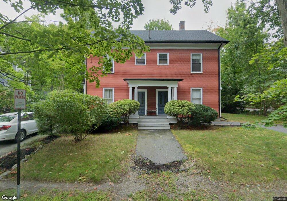
99 Central St Unit 101 Auburndale, MA 02466
Auburndale NeighborhoodEstimated Value: $1,404,000 - $2,026,251
6
Beds
2
Baths
3,941
Sq Ft
$443/Sq Ft
Est. Value
About This Home
This home is located at 99 Central St Unit 101, Auburndale, MA 02466 and is currently estimated at $1,746,063, approximately $443 per square foot. 99 Central St Unit 101 is a home located in Middlesex County with nearby schools including Williams Elementary School, Charles E Brown Middle School, and Newton South High School.
Ownership History
Date
Name
Owned For
Owner Type
Purchase Details
Closed on
May 11, 2016
Sold by
Kulik Phyllis M
Bought by
Phyllis M Kulik T
Current Estimated Value
Purchase Details
Closed on
Sep 27, 1994
Sold by
Beauchamp Rt
Bought by
Martel Michael E and Pacheco Tanya M
Home Financials for this Owner
Home Financials are based on the most recent Mortgage that was taken out on this home.
Original Mortgage
$126,180
Interest Rate
8.56%
Mortgage Type
Purchase Money Mortgage
Create a Home Valuation Report for This Property
The Home Valuation Report is an in-depth analysis detailing your home's value as well as a comparison with similar homes in the area
Home Values in the Area
Average Home Value in this Area
Purchase History
| Date | Buyer | Sale Price | Title Company |
|---|---|---|---|
| Phyllis M Kulik T | -- | -- | |
| Martel Michael E | $140,200 | -- |
Source: Public Records
Mortgage History
| Date | Status | Borrower | Loan Amount |
|---|---|---|---|
| Previous Owner | Martel Michael E | $126,180 | |
| Previous Owner | Martel Michael E | $38,947 |
Source: Public Records
Tax History Compared to Growth
Tax History
| Year | Tax Paid | Tax Assessment Tax Assessment Total Assessment is a certain percentage of the fair market value that is determined by local assessors to be the total taxable value of land and additions on the property. | Land | Improvement |
|---|---|---|---|---|
| 2025 | $16,891 | $1,723,600 | $898,600 | $825,000 |
| 2024 | $16,332 | $1,673,400 | $872,400 | $801,000 |
| 2023 | $15,643 | $1,536,600 | $714,000 | $822,600 |
| 2022 | $14,968 | $1,422,800 | $661,100 | $761,700 |
| 2021 | $14,045 | $1,305,300 | $606,500 | $698,800 |
| 2020 | $13,627 | $1,305,300 | $606,500 | $698,800 |
| 2019 | $12,748 | $1,219,900 | $566,800 | $653,100 |
| 2018 | $12,811 | $1,184,000 | $533,800 | $650,200 |
| 2017 | $12,079 | $1,086,200 | $489,700 | $596,500 |
| 2016 | $11,340 | $996,500 | $449,300 | $547,200 |
| 2015 | $10,812 | $931,300 | $419,900 | $511,400 |
Source: Public Records
Map
Nearby Homes
- 224 Auburn St Unit 224
- 224 Auburn St Unit A
- 226 Auburn St Unit 226
- 283 Melrose St
- 17 Lasell St
- 13 Weir St
- 62-64 Rowe St Unit B
- 2202 Commonwealth Ave Unit 2
- 2202 Commonwealth Ave Unit 1
- 283 Woodland Rd
- 51 Bourne St
- 1639 Washington St
- 17 Gilbert St
- 17 Crescent St
- 1754 Washington St
- 10 Crescent St Unit 1
- 10 Crescent St Unit 2
- 160 Pine St Unit 12
- 27 Oakwood Rd
- 0 Duncan Rd Unit 72925240
- 107 Central St Unit 109
- 95 Central St
- 93 Central St
- 91 Central St
- 91 Central St Unit 1
- 95 Central St Unit 3
- 91 Central St Unit 91
- 93 Central St Unit 2
- 115 Central St
- 236 Auburn St
- 228-230 Auburn St
- 85 Central St
- 108 Central St
- 224 Auburn St Unit 226
- 224 Auburn St Unit F
- 224-226 Auburn St Unit 1
- 94 Central St
- 6 Grove St Unit 6B
- 6 Grove St
- 6 Grove St Unit 2