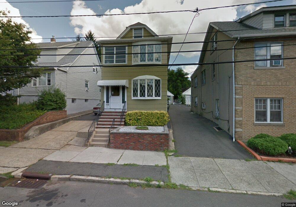
99 E Passaic Ave Unit 1 Bloomfield, NJ 07003
Estimated Value: $717,000 - $828,000
2
Beds
1
Bath
1,958
Sq Ft
$393/Sq Ft
Est. Value
About This Home
This home is located at 99 E Passaic Ave Unit 1, Bloomfield, NJ 07003 and is currently estimated at $769,617, approximately $393 per square foot. 99 E Passaic Ave Unit 1 is a home located in Essex County with nearby schools including Franklin School, Bloomfield Middle School, and Bloomfield High School.
Ownership History
Date
Name
Owned For
Owner Type
Purchase Details
Closed on
Oct 9, 2025
Sold by
Delaney Michael and Colson Brandon Craig
Bought by
Luna Lesley S and Luna Luis R
Current Estimated Value
Purchase Details
Closed on
May 3, 2017
Sold by
Estate Of Richard W Kruger and Clarke Anne Patricia
Bought by
Colson Brandon Craig
Home Financials for this Owner
Home Financials are based on the most recent Mortgage that was taken out on this home.
Original Mortgage
$344,881
Interest Rate
5.5%
Mortgage Type
FHA
Create a Home Valuation Report for This Property
The Home Valuation Report is an in-depth analysis detailing your home's value as well as a comparison with similar homes in the area
Home Values in the Area
Average Home Value in this Area
Purchase History
| Date | Buyer | Sale Price | Title Company |
|---|---|---|---|
| Luna Lesley S | $785,000 | Evident Title | |
| Colson Brandon Craig | $339,000 | Old Republic Title |
Source: Public Records
Mortgage History
| Date | Status | Borrower | Loan Amount |
|---|---|---|---|
| Previous Owner | Colson Brandon Craig | $344,881 |
Source: Public Records
Tax History
| Year | Tax Paid | Tax Assessment Tax Assessment Total Assessment is a certain percentage of the fair market value that is determined by local assessors to be the total taxable value of land and additions on the property. | Land | Improvement |
|---|---|---|---|---|
| 2025 | $12,438 | $380,600 | $109,200 | $271,400 |
| 2024 | $12,438 | $380,600 | $109,200 | $271,400 |
| 2022 | $12,187 | $380,600 | $109,200 | $271,400 |
| 2021 | $11,962 | $380,600 | $109,200 | $271,400 |
| 2020 | $11,780 | $380,600 | $109,200 | $271,400 |
| 2019 | $10,685 | $268,400 | $108,000 | $160,400 |
| 2018 | $10,639 | $268,400 | $108,000 | $160,400 |
| 2017 | $10,478 | $268,400 | $108,000 | $160,400 |
| 2016 | $10,360 | $268,400 | $108,000 | $160,400 |
| 2015 | $10,266 | $268,400 | $108,000 | $160,400 |
| 2014 | $10,078 | $268,400 | $108,000 | $160,400 |
Source: Public Records
Map
Nearby Homes
- 366 Hoover Ave Unit 119
- 378 Hoover Ave Unit 149
- 348 Hoover Ave Unit 92
- 290 Hoover Ave
- 290 Hoover Ave Unit 9
- 10 E Passaic Ave
- 46 Summit Ave
- 48 Broughton Ave
- 48 Broughton Ave Unit 2
- 54 Broughton Ave
- 70 Valentine Rd
- 237 E Passaic Ave
- 106 Broughton Ave
- 20 Elston St
- 18 Birch St
- 117 Hoover Ave
- 124 Essex Ave
- 129 Pake St
- 10 Almira St Unit 14
- 10 14almira St
- 99 E Passaic Ave
- 97 E Passaic Ave
- 97 E Passaic Ave Unit 2
- 103 E Passaic Ave
- 103 E Passaic Ave Unit 2
- 95 E Passaic Ave
- 113 E Passaic Ave
- 91 E Passaic Ave Unit 2
- 91 E Passaic Ave Unit 93
- 95 N Spring St
- 91 N Spring St
- 104 E Passaic Ave
- 97 N Spring St
- 117 E Passaic Ave
- 110 E Passaic Ave
- 110 E Passaic Ave Unit 2
- 77 N Spring St Unit 79
- 114-118 E Passaic Ave
- 98 E Passaic Ave
- 114 E Passaic Ave Unit 118
Your Personal Tour Guide
Ask me questions while you tour the home.