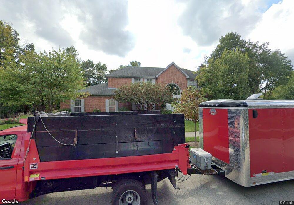
99 E Saint Andrews Ln Deerfield, IL 60015
Briarwood NeighborhoodEstimated Value: $965,000 - $1,141,000
--
Bed
3
Baths
3,951
Sq Ft
$270/Sq Ft
Est. Value
About This Home
This home is located at 99 E Saint Andrews Ln, Deerfield, IL 60015 and is currently estimated at $1,065,177, approximately $269 per square foot. 99 E Saint Andrews Ln is a home located in Lake County with nearby schools including Kipling Elementary School, Alan B Shepard Middle School, and Deerfield High School.
Ownership History
Date
Name
Owned For
Owner Type
Purchase Details
Closed on
Feb 20, 2023
Sold by
Anson Alice J
Bought by
Alice Anson Revocable Trust
Current Estimated Value
Purchase Details
Closed on
Feb 24, 2006
Sold by
Nadler Robert D and Anson Alice J
Bought by
Anson Alice J
Purchase Details
Closed on
Jun 28, 1996
Sold by
Barinholtz Eric
Bought by
Nadler Robert D and Anson Alice J
Home Financials for this Owner
Home Financials are based on the most recent Mortgage that was taken out on this home.
Original Mortgage
$462,900
Interest Rate
7.37%
Create a Home Valuation Report for This Property
The Home Valuation Report is an in-depth analysis detailing your home's value as well as a comparison with similar homes in the area
Home Values in the Area
Average Home Value in this Area
Purchase History
| Date | Buyer | Sale Price | Title Company |
|---|---|---|---|
| Alice Anson Revocable Trust | -- | -- | |
| Anson Alice J | -- | None Available | |
| Nadler Robert D | $580,000 | Chicago Title Insurance Co |
Source: Public Records
Mortgage History
| Date | Status | Borrower | Loan Amount |
|---|---|---|---|
| Previous Owner | Nadler Robert D | $462,900 |
Source: Public Records
Tax History Compared to Growth
Tax History
| Year | Tax Paid | Tax Assessment Tax Assessment Total Assessment is a certain percentage of the fair market value that is determined by local assessors to be the total taxable value of land and additions on the property. | Land | Improvement |
|---|---|---|---|---|
| 2024 | $23,472 | $285,136 | $66,502 | $218,634 |
| 2023 | $21,651 | $257,018 | $59,944 | $197,074 |
| 2022 | $21,651 | $234,118 | $65,852 | $168,266 |
| 2021 | $20,492 | $226,310 | $63,656 | $162,654 |
| 2020 | $19,669 | $226,310 | $63,656 | $162,654 |
| 2019 | $19,162 | $225,251 | $63,358 | $161,893 |
| 2018 | $23,076 | $278,911 | $70,035 | $208,876 |
| 2017 | $22,649 | $277,303 | $69,631 | $207,672 |
| 2016 | $21,802 | $263,998 | $66,290 | $197,708 |
| 2015 | $21,139 | $245,283 | $61,591 | $183,692 |
| 2014 | $22,252 | $250,474 | $62,369 | $188,105 |
| 2012 | $21,644 | $251,935 | $62,733 | $189,202 |
Source: Public Records
Map
Nearby Homes
- 95 Greenbriar Dr E
- 75 Eastwood Dr
- 49 Larkdale Rd
- 75 Mulberry Rd
- 1921 Beechnut Rd
- 1816 Rosemary Rd
- 1744 Walnut Cir
- 717 Brierhill Rd
- 850 Evergreen Way
- 805 Brand Ln
- 300 Red Oak Rd
- 513 Sumac Rd
- 810 Virginia Rd
- 666 Barberry Rd
- 1851 Oakwood Rd
- 1773 Winthrop Rd
- 757 Kipling Place
- 1939 Koehling Rd
- 1280 Rudolph Rd Unit 1
- 372 Kelburn Rd Unit 313
- 85 E Saint Andrews Ln
- 172 E Saint Andrews Ln
- 71 E Saint Andrews Ln
- 186 E Saint Andrews Ln
- 86 Tamarisk Ln
- 98 E Saint Andrews Ln
- 116 E Saint Andrews Ln
- 165 E Saint Andrews Ln
- 136 E Saint Andrews Ln
- 150 E Saint Andrews Ln
- 72 Tamarisk Ln
- 179 E Saint Andrews Ln
- 80 E Saint Andrews Ln
- 57 E Saint Andrews Ln
- 193 E Saint Andrews Ln
- 58 Tamarisk Ln
- 214 E Saint Andrews Ln
- 46 E Saint Andrews Ln
- 207 E Saint Andrews Ln
- 43 E Saint Andrews Ln