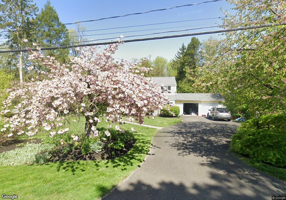
99 E Walnut Ave Moorestown, NJ 08057
Estimated Value: $1,061,832 - $1,228,000
Studio
--
Bath
3,450
Sq Ft
$337/Sq Ft
Est. Value
About This Home
This home is located at 99 E Walnut Ave, Moorestown, NJ 08057 and is currently estimated at $1,161,944, approximately $336 per square foot. 99 E Walnut Ave is a home located in Burlington County with nearby schools including George C. Baker Elementary School, Moorestown Upper Elementary School, and William Allen Middle School.
Ownership History
Date
Name
Owned For
Owner Type
Purchase Details
Closed on
Jul 30, 1982
Bought by
Talty Dennis P and Talty Diane C
Current Estimated Value
Create a Home Valuation Report for This Property
The Home Valuation Report is an in-depth analysis detailing your home's value as well as a comparison with similar homes in the area
Home Values in the Area
Average Home Value in this Area
Purchase History
| Date | Buyer | Sale Price | Title Company |
|---|---|---|---|
| Talty Dennis P | $164,500 | -- |
Source: Public Records
Tax History
| Year | Tax Paid | Tax Assessment Tax Assessment Total Assessment is a certain percentage of the fair market value that is determined by local assessors to be the total taxable value of land and additions on the property. | Land | Improvement |
|---|---|---|---|---|
| 2025 | $17,144 | $604,300 | $297,900 | $306,400 |
| 2024 | $16,624 | $604,300 | $297,900 | $306,400 |
| 2023 | $16,624 | $604,300 | $297,900 | $306,400 |
| 2022 | $16,455 | $604,300 | $297,900 | $306,400 |
| 2021 | $16,238 | $604,300 | $297,900 | $306,400 |
| 2020 | $16,135 | $604,300 | $297,900 | $306,400 |
| 2019 | $15,851 | $604,300 | $297,900 | $306,400 |
| 2018 | $15,422 | $604,300 | $297,900 | $306,400 |
| 2017 | $15,555 | $604,300 | $297,900 | $306,400 |
| 2016 | $15,500 | $604,300 | $297,900 | $306,400 |
| 2015 | $15,313 | $604,300 | $297,900 | $306,400 |
| 2014 | $14,539 | $604,300 | $297,900 | $306,400 |
Source: Public Records
Map
Nearby Homes
- 700 Lippincott Ave
- 500 Chester Ave
- 205 E Central Ave
- 140 E Central Ave
- 863 Golf View Rd
- 705 Iron Post Rd
- 66 E 3rd St
- 80 E 3rd St
- 133 Plum St Unit 6
- 543 Bethel Ave
- 744 Signal Light Rd
- 308 Elm St
- 611 New Albany Rd
- 127 Schooley St
- 396 E Linden St
- 408 N Stanwick Rd
- 104 Mount Laurel Rd
- 129 S Church St
- 337 E 2nd St
- 15 W Close Unit 15
- 77 E Walnut Ave
- 700 Chester Ave
- 98 E Walnut Ave
- 704 Chester Ave
- 100 E Walnut Ave
- 80 E Walnut Ave
- 45 E Walnut Ave
- 711 Lippincott Ave
- 706 Chester Ave
- 670 Chester Ave
- 677 Lippincott Ave
- 715 Lippincott Ave
- 660 Chester Ave
- 661 Lippincott Ave
- 713 Lippincott Ave
- 717 Lippincott Ave
- 654 Chester Ave
- 712 Riverton Rd
- 130 Bridgeboro Rd
- 710 Lippincott Ave
Your Personal Tour Guide
Ask me questions while you tour the home.