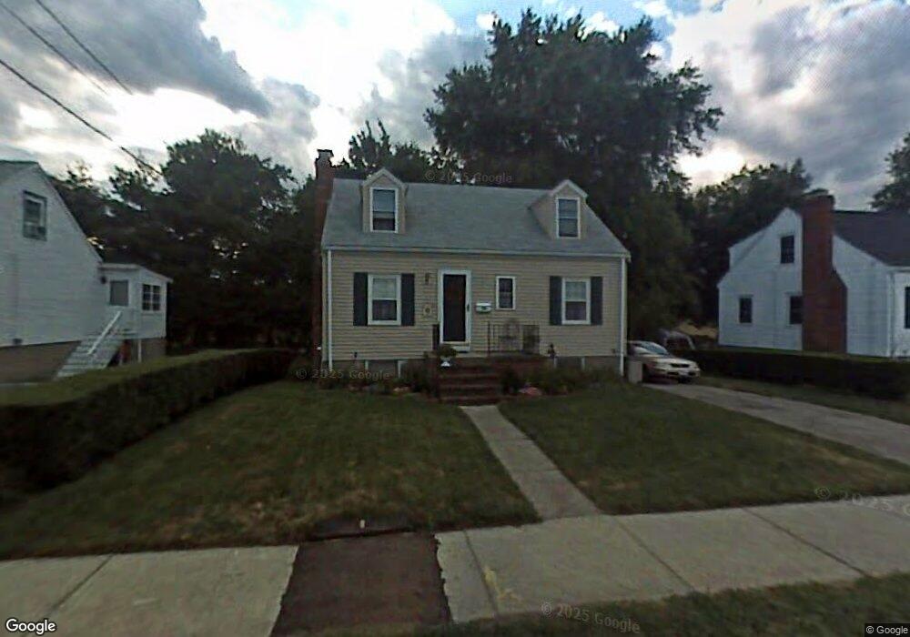
99 Edward Rd Watertown, MA 02472
West Watertown NeighborhoodEstimated Value: $822,000 - $831,000
3
Beds
1
Bath
1,176
Sq Ft
$702/Sq Ft
Est. Value
About This Home
This home is located at 99 Edward Rd, Watertown, MA 02472 and is currently estimated at $825,838, approximately $702 per square foot. 99 Edward Rd is a home located in Middlesex County with nearby schools including Jackson Walnut Park School and JCDS, Boston's Jewish Community Day School.
Ownership History
Date
Name
Owned For
Owner Type
Purchase Details
Closed on
Apr 13, 2009
Sold by
Christie Sally A
Bought by
Christie Tr Sally A and Christie Kim E
Current Estimated Value
Purchase Details
Closed on
Sep 30, 1999
Sold by
Brown William K and Brown Linda J
Bought by
Christie Sally A
Home Financials for this Owner
Home Financials are based on the most recent Mortgage that was taken out on this home.
Original Mortgage
$80,000
Interest Rate
7.85%
Mortgage Type
Purchase Money Mortgage
Purchase Details
Closed on
Dec 18, 1997
Sold by
Pickett Willard B Est and Pickett
Bought by
Brown William K and Brown Linda J
Home Financials for this Owner
Home Financials are based on the most recent Mortgage that was taken out on this home.
Original Mortgage
$70,000
Interest Rate
7.14%
Mortgage Type
Purchase Money Mortgage
Create a Home Valuation Report for This Property
The Home Valuation Report is an in-depth analysis detailing your home's value as well as a comparison with similar homes in the area
Home Values in the Area
Average Home Value in this Area
Purchase History
| Date | Buyer | Sale Price | Title Company |
|---|---|---|---|
| Christie Tr Sally A | -- | -- | |
| Christie Tr Sally A | -- | -- | |
| Christie Tr Sally A | -- | -- | |
| Christie Sally A | $239,900 | -- | |
| Brown William K | $162,500 | -- |
Source: Public Records
Mortgage History
| Date | Status | Borrower | Loan Amount |
|---|---|---|---|
| Previous Owner | Brown William K | $80,000 | |
| Previous Owner | Brown William K | $100,000 | |
| Previous Owner | Brown William K | $15,000 | |
| Previous Owner | Brown William K | $70,000 |
Source: Public Records
Tax History Compared to Growth
Tax History
| Year | Tax Paid | Tax Assessment Tax Assessment Total Assessment is a certain percentage of the fair market value that is determined by local assessors to be the total taxable value of land and additions on the property. | Land | Improvement |
|---|---|---|---|---|
| 2025 | $8,724 | $746,900 | $495,000 | $251,900 |
| 2024 | $7,617 | $651,000 | $474,100 | $176,900 |
| 2023 | $8,460 | $623,000 | $451,500 | $171,500 |
| 2022 | $7,975 | $601,900 | $429,000 | $172,900 |
| 2021 | $7,188 | $586,800 | $413,900 | $172,900 |
| 2020 | $6,942 | $571,800 | $398,900 | $172,900 |
| 2019 | $6,485 | $503,500 | $383,800 | $119,700 |
| 2018 | $6,567 | $487,500 | $376,300 | $111,200 |
| 2017 | $6,039 | $434,800 | $323,600 | $111,200 |
| 2016 | $5,743 | $419,800 | $308,600 | $111,200 |
| 2015 | $5,970 | $397,200 | $286,000 | $111,200 |
| 2014 | $5,604 | $374,600 | $263,400 | $111,200 |
Source: Public Records
Map
Nearby Homes
- 63-65 Evans St
- 654 Main St
- 4 Repton Cir Unit 4410
- 3 Repton Cir Unit 3401
- 20 Whitman Rd Unit B-1
- 5 Chapman St
- 34 Aberdeen Ave
- 71 Gleason St
- 100 Whitman Rd
- 1 Farwell Cir
- 78 Barbara Rd Unit 1
- 135 Grove St Unit 135
- 32 Howard St Unit 32
- 35 Bacon St
- 164 Grove St
- 282 Nevada St Unit 282
- 33 Joseph Rd
- 286 Nevada St Unit 286
- 32 Bacon St
- 581 California St