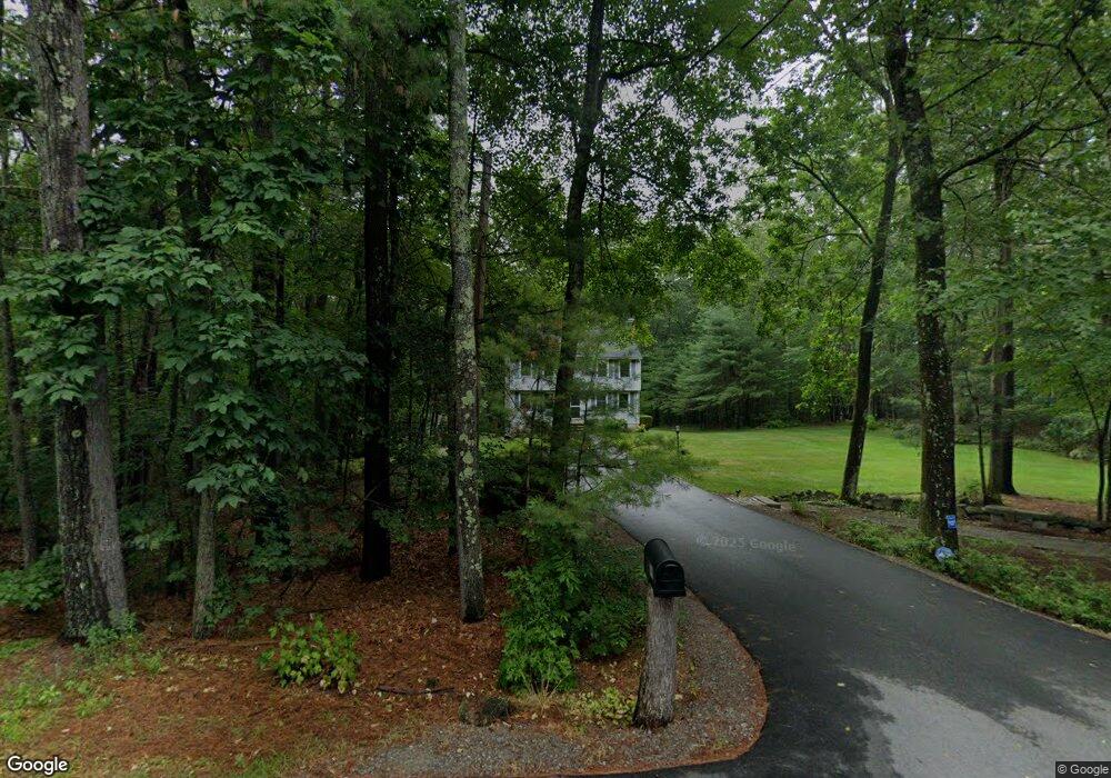
99 Forrest Rd Westford, MA 01886
Estimated Value: $724,000 - $823,000
3
Beds
2
Baths
1,666
Sq Ft
$466/Sq Ft
Est. Value
About This Home
This home is located at 99 Forrest Rd, Westford, MA 01886 and is currently estimated at $776,035, approximately $465 per square foot. 99 Forrest Rd is a home located in Middlesex County with nearby schools including Rita E. Miller Elementary School, Day Elementary School, and Stony Brook School.
Ownership History
Date
Name
Owned For
Owner Type
Purchase Details
Closed on
Jul 29, 2024
Sold by
Devereux Mark J
Bought by
Devereux Mark J and Devereux Maureen A
Current Estimated Value
Purchase Details
Closed on
May 29, 1992
Sold by
Terrance L Queenan Inc
Bought by
Devereaux Mark J and Devereaux Kelly A
Create a Home Valuation Report for This Property
The Home Valuation Report is an in-depth analysis detailing your home's value as well as a comparison with similar homes in the area
Home Values in the Area
Average Home Value in this Area
Purchase History
| Date | Buyer | Sale Price | Title Company |
|---|---|---|---|
| Devereux Mark J | -- | None Available | |
| Devereux Mark J | -- | None Available | |
| Devereaux Mark J | $171,500 | -- | |
| Devereaux Mark J | $171,500 | -- |
Source: Public Records
Mortgage History
| Date | Status | Borrower | Loan Amount |
|---|---|---|---|
| Previous Owner | Devereaux Mark J | $271,985 | |
| Previous Owner | Devereaux Mark J | $219,000 | |
| Previous Owner | Devereaux Mark J | $219,500 |
Source: Public Records
Tax History Compared to Growth
Tax History
| Year | Tax Paid | Tax Assessment Tax Assessment Total Assessment is a certain percentage of the fair market value that is determined by local assessors to be the total taxable value of land and additions on the property. | Land | Improvement |
|---|---|---|---|---|
| 2025 | $8,902 | $646,500 | $331,100 | $315,400 |
| 2024 | $8,902 | $646,500 | $331,100 | $315,400 |
| 2023 | $8,844 | $599,200 | $315,200 | $284,000 |
| 2022 | $8,918 | $553,200 | $267,500 | $285,700 |
| 2021 | $8,503 | $511,000 | $267,500 | $243,500 |
| 2020 | $11,649 | $512,700 | $267,500 | $245,200 |
| 2019 | $4,700 | $477,300 | $251,200 | $226,100 |
| 2018 | $10,036 | $466,400 | $240,300 | $226,100 |
| 2017 | $3,737 | $437,100 | $240,300 | $196,800 |
| 2016 | $6,657 | $408,400 | $226,600 | $181,800 |
| 2015 | $6,491 | $399,700 | $216,700 | $183,000 |
| 2014 | $6,340 | $381,900 | $208,100 | $173,800 |
Source: Public Records
Map
Nearby Homes
- 427 Groton Rd
- 26 N Hill Rd
- 2 Alder Point Unit 2
- 3 Loon Way
- 55 Lawson Rd
- 8 Loon Way
- 1 Appian Way
- 22 Highland Rd
- 20 Highland Rd
- 30 Lake Shore Dr N
- 31 Sandstone Rd
- 15 Stone Ridge Rd
- 10 Gassett Rd
- 24 Summer Village Rd Unit 24
- 2 Courtview Ln Unit 2
- 19 Sandstone Rd
- 6 Caldwell Dr
- 11 Big Rock Trail
- 18 Big Rock Trail Unit 115
- 5 Fawn Rd
- 101 Forrest Rd
- 8 Rolling Meadow Ln
- 98 Forrest Rd
- 95 Forrest Rd
- 96 Forrest Rd
- 5 Briarwood Dr
- 6 Rolling Meadow Ln
- 7 Briarwood Dr
- 12 Rolling Meadow Ln
- 1 Kayla Dr
- 11 Briarwood Dr
- 4 Rolling Meadow Ln
- 9 Briarwood Dr
- 92 Forrest Rd
- 2 Rolling Meadow Ln
- 3 Kayla Dr
- 13 Briarwood Dr
- 16 Briarwood Dr
- 105 Forrest Rd
- 18 Briarwood Dr